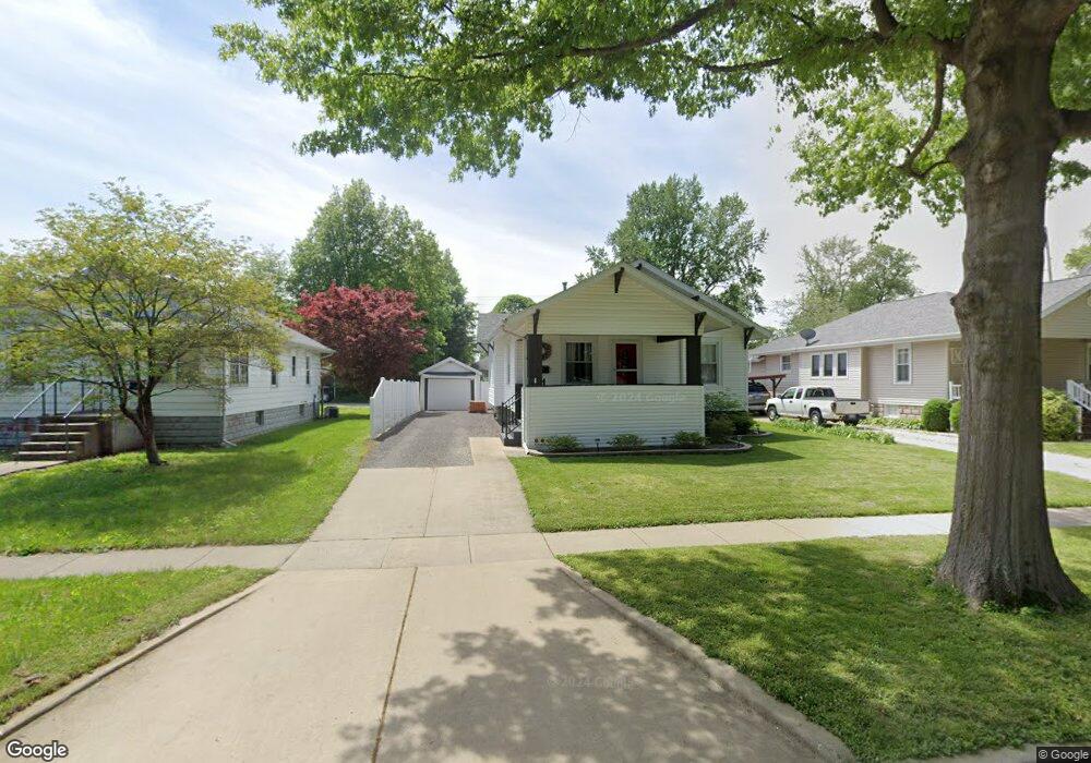
912 W Poplar St Taylorville, IL 62568
Estimated Value: $100,656 - $118,000
2
Beds
--
Bath
1,024
Sq Ft
$104/Sq Ft
Est. Value
About This Home
This home is located at 912 W Poplar St, Taylorville, IL 62568 and is currently estimated at $106,664, approximately $104 per square foot. 912 W Poplar St is a home located in Christian County with nearby schools including Memorial Elementary School, Taylorville Junior High School, and Taylorville Senior High School.
Ownership History
Date
Name
Owned For
Owner Type
Purchase Details
Closed on
May 6, 2006
Sold by
Dobyns Mary Jo
Bought by
Huckstep Tina Ann
Current Estimated Value
Home Financials for this Owner
Home Financials are based on the most recent Mortgage that was taken out on this home.
Original Mortgage
$48,500
Interest Rate
6.39%
Mortgage Type
New Conventional
Create a Home Valuation Report for This Property
The Home Valuation Report is an in-depth analysis detailing your home's value as well as a comparison with similar homes in the area
Home Values in the Area
Average Home Value in this Area
Purchase History
| Date | Buyer | Sale Price | Title Company |
|---|---|---|---|
| Huckstep Tina Ann | $64,000 | None Available |
Source: Public Records
Mortgage History
| Date | Status | Borrower | Loan Amount |
|---|---|---|---|
| Closed | Huckstep Tina Ann | $48,500 |
Source: Public Records
Tax History Compared to Growth
Tax History
| Year | Tax Paid | Tax Assessment Tax Assessment Total Assessment is a certain percentage of the fair market value that is determined by local assessors to be the total taxable value of land and additions on the property. | Land | Improvement |
|---|---|---|---|---|
| 2024 | $1,723 | $27,720 | $5,223 | $22,497 |
| 2023 | $1,592 | $25,394 | $4,785 | $20,609 |
| 2022 | $1,508 | $23,583 | $4,444 | $19,139 |
| 2021 | $1,419 | $22,676 | $4,273 | $18,403 |
| 2020 | $1,446 | $23,102 | $4,348 | $18,754 |
| 2019 | $1,457 | $23,734 | $4,467 | $19,267 |
| 2018 | $1,399 | $22,747 | $4,281 | $18,466 |
| 2017 | $1,349 | $22,173 | $4,173 | $18,000 |
| 2016 | $1,088 | $20,405 | $4,075 | $16,330 |
| 2015 | $1,085 | $20,256 | $4,045 | $16,211 |
| 2014 | $1,064 | $19,830 | $3,960 | $15,870 |
| 2013 | $1,059 | $19,830 | $3,960 | $15,870 |
| 2011 | $887 | $17,803 | $3,803 | $14,000 |
Source: Public Records
Map
Nearby Homes
- 536 W Main Cross St
- 606 N Shumway St
- 625 N Silver St
- 629 W Adams St
- 729 Kenton Blvd
- 713 Kenton Blvd
- 1221 W Vandeveer St
- 717 W England St
- 833 N Cheney St
- 1029 W Rich St
- 704 Hawley Ave
- 1426 W Adams St
- 240 N Washington St
- 701 W Rich St
- 913 Hawley Ave
- 713 N Pine St
- 412 W 1st St
- 601 S Arlington St
- 525 S Washington St
- 822 S Clay St
- 910 W Poplar St
- 916 W Poplar St
- 920 W Poplar St
- 908 W Poplar St
- 924 W Poplar St
- 900 W Poplar St
- 907 W Vine St
- 911 W Vine St
- 905 W Vine St
- 928 W Poplar St
- 915 W Vine St
- 903 W Vine St
- 913 W Poplar St
- 909 W Poplar St
- 921 W Poplar St
- 927 W Vine St
- 905 W Poplar St
- 929 W Vine St
- 901 W Poplar St
- 925 W Poplar St