912 Wayland Cir Bensalem, PA 19020
Estimated Value: $616,000 - $688,000
4
Beds
3
Baths
3,084
Sq Ft
$209/Sq Ft
Est. Value
About This Home
This home is located at 912 Wayland Cir, Bensalem, PA 19020 and is currently estimated at $644,027, approximately $208 per square foot. 912 Wayland Cir is a home located in Bucks County with nearby schools including School Lane Charter School, St. Ephrem School, and Holy Ghost Preparatory School.
Ownership History
Date
Name
Owned For
Owner Type
Purchase Details
Closed on
Aug 12, 2002
Sold by
Dinofa Vincent M and Dinofa Gabriella
Bought by
Macquaid Stephen and Macquaid Kimberly
Current Estimated Value
Home Financials for this Owner
Home Financials are based on the most recent Mortgage that was taken out on this home.
Original Mortgage
$150,000
Interest Rate
6.24%
Purchase Details
Closed on
Nov 14, 1997
Sold by
Dinofa Vincent M
Bought by
Dinofa Vincent M and Dinofa Gabriella
Purchase Details
Closed on
Jul 28, 1995
Sold by
Dinardo Cosmo and Dinardo Gina
Bought by
Dinofa Vincent M
Home Financials for this Owner
Home Financials are based on the most recent Mortgage that was taken out on this home.
Original Mortgage
$105,000
Interest Rate
7.48%
Create a Home Valuation Report for This Property
The Home Valuation Report is an in-depth analysis detailing your home's value as well as a comparison with similar homes in the area
Home Values in the Area
Average Home Value in this Area
Purchase History
| Date | Buyer | Sale Price | Title Company |
|---|---|---|---|
| Macquaid Stephen | $295,000 | -- | |
| Dinofa Vincent M | -- | -- | |
| Dinofa Vincent M | $175,000 | -- |
Source: Public Records
Mortgage History
| Date | Status | Borrower | Loan Amount |
|---|---|---|---|
| Previous Owner | Macquaid Stephen | $150,000 | |
| Previous Owner | Dinofa Vincent M | $105,000 |
Source: Public Records
Tax History Compared to Growth
Tax History
| Year | Tax Paid | Tax Assessment Tax Assessment Total Assessment is a certain percentage of the fair market value that is determined by local assessors to be the total taxable value of land and additions on the property. | Land | Improvement |
|---|---|---|---|---|
| 2025 | $7,780 | $35,640 | $4,960 | $30,680 |
| 2024 | $7,780 | $35,640 | $4,960 | $30,680 |
| 2023 | $7,561 | $35,640 | $4,960 | $30,680 |
| 2022 | $7,517 | $35,640 | $4,960 | $30,680 |
| 2021 | $7,517 | $35,640 | $4,960 | $30,680 |
| 2020 | $7,441 | $35,640 | $4,960 | $30,680 |
| 2019 | $7,275 | $35,640 | $4,960 | $30,680 |
| 2018 | $7,106 | $35,640 | $4,960 | $30,680 |
| 2017 | $7,062 | $35,640 | $4,960 | $30,680 |
| 2016 | $7,062 | $35,640 | $4,960 | $30,680 |
| 2015 | -- | $35,640 | $4,960 | $30,680 |
| 2014 | -- | $35,640 | $4,960 | $30,680 |
Source: Public Records
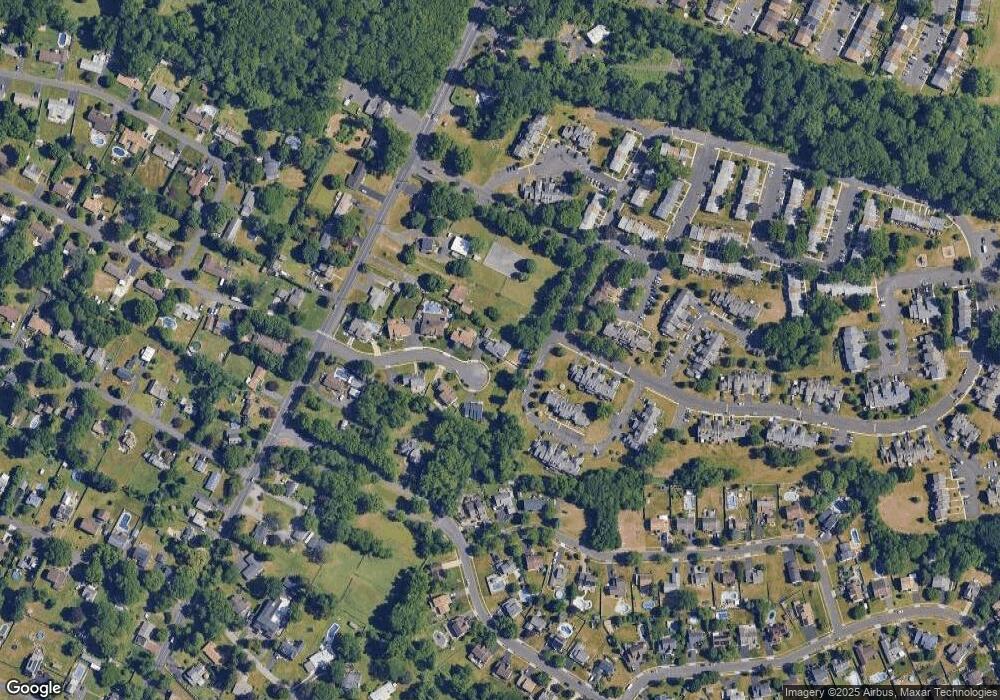
Map
Nearby Homes
- 446 N Mount Vernon Cir Unit 446
- 580 S Mount Vernon Cir
- 419 Rutgers Ct
- 393 Rutgers Ct Unit 393
- 435 N Mount Vernon Cir Unit 435
- 1100 Wayland Ave
- 389 Rutgers Ct Unit 389
- 938 Ashton Rd
- 953 Farley Rd
- 5110 Bay Rd
- 5107 Leeward Rd
- 4783 Meeting Rd
- 5102 Lighthouse Ln
- 801 Cliff Rd
- 5217 Bay Rd
- 4744 Dunston Rd
- L:15 Dunston Rd
- 1440 Atterbury Way
- 3300 Newportville Rd
- 0 Newportville Rd Unit PABU487252
- 916 Wayland Cir
- 908 Wayland Cir
- 535 Princeton Ct Unit 535
- 904 Wayland Cir
- 4941 Bensalem Blvd
- 529 S Mount Vernon Cir Unit 529
- 536 Princeton Ct Unit 536
- 920 Wayland Cir
- 537 Princeton Ct Unit 537
- 530 S Mount Vernon Cir Unit 530
- 538 Princeton Ct Unit 538
- 531 S Mount Vernon Cir Unit 531
- 539 Princeton Ct Unit 539
- 532 S Mount Vernon Cir
- 900 Wayland Cir
- 540 Princeton Ct Unit 540
- 541 Princeton Ct Unit 541
- 517 Amhurst Square Unit 517
- 523 Amhurst Square Unit 523
- 533 S Mount Vernon Cir Unit 533