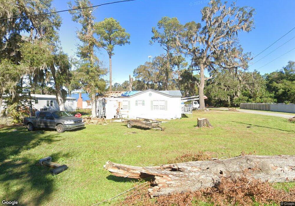
912 Wayne St Darien, GA 31305
Estimated Value: $127,000 - $340,000
Studio
--
Bath
--
Sq Ft
12,197
Sq Ft
About This Home
This home is located at 912 Wayne St, Darien, GA 31305 and is currently estimated at $199,668. 912 Wayne St is a home with nearby schools including Todd Grant Elementary School, McIntosh County Middle School, and McIntosh County Academy.
Ownership History
Date
Name
Owned For
Owner Type
Purchase Details
Closed on
Dec 11, 2023
Sold by
Dixon Henry
Bought by
Reed Derrick L
Current Estimated Value
Purchase Details
Closed on
Aug 1, 2018
Sold by
Dixon Gary Alan Trustee
Bought by
Dixon Henry M
Purchase Details
Closed on
Sep 16, 2016
Sold by
Tennent Brandi N
Bought by
Dixon Gary Alan Trustee
Purchase Details
Closed on
Dec 31, 2012
Sold by
Dixon Gary Alan
Bought by
Tennent Brandi N
Purchase Details
Closed on
Mar 15, 2012
Sold by
Cherry Log Holding
Bought by
Helen O Templeton Trust
Purchase Details
Closed on
Feb 21, 2012
Bought by
Dixon Gary Alan
Purchase Details
Closed on
Oct 14, 2011
Sold by
City Of Darien
Bought by
Cherry Log Holding
Purchase Details
Closed on
Oct 4, 2011
Sold by
Dixon Gary Alan
Bought by
Cherry Log Holdings Llc and 912 Wayne Street Trust
Purchase Details
Closed on
Dec 6, 2007
Sold by
Jarrell Randy
Bought by
Helen O Templeton Trust
Purchase Details
Closed on
Nov 30, 2007
Sold by
Jarrell Randy
Bought by
Templeton Helen
Purchase Details
Closed on
Jan 15, 2003
Sold by
Templeton Dustin
Bought by
Jarrell Randy
Purchase Details
Closed on
Jun 14, 2002
Sold by
Templeton Helen
Bought by
Jarrell Randy
Purchase Details
Closed on
Mar 12, 2002
Sold by
Templeton Larry and Templeton Helen
Bought by
Templeton Larry
Create a Home Valuation Report for This Property
The Home Valuation Report is an in-depth analysis detailing your home's value as well as a comparison with similar homes in the area
Purchase History
| Date | Buyer | Sale Price | Title Company |
|---|---|---|---|
| Reed Derrick L | -- | -- | |
| Dixon Henry M | -- | -- | |
| Dixon Gary Alan Trustee | -- | -- | |
| Tennent Brandi N | $30,000 | -- | |
| Helen O Templeton Trust | -- | -- | |
| Dixon Gary Alan | $840 | -- | |
| Cherry Log Holding | -- | -- | |
| Cherry Log Holdings Llc | -- | -- | |
| Helen O Templeton Trust | -- | -- | |
| Templeton Helen | -- | -- | |
| Jarrell Randy | -- | -- | |
| Jarrell Randy | -- | -- | |
| Templeton Larry | -- | -- |
Source: Public Records
Tax History
| Year | Tax Paid | Tax Assessment Tax Assessment Total Assessment is a certain percentage of the fair market value that is determined by local assessors to be the total taxable value of land and additions on the property. | Land | Improvement |
|---|---|---|---|---|
| 2024 | $1,313 | $37,240 | $34,760 | $2,480 |
| 2023 | $1,008 | $28,520 | $26,040 | $2,480 |
| 2022 | $431 | $15,480 | $13,000 | $2,480 |
| 2021 | $431 | $15,480 | $13,000 | $2,480 |
| 2020 | $375 | $13,320 | $10,840 | $2,480 |
| 2019 | $410 | $15,440 | $13,000 | $2,440 |
| 2015 | $214 | $8,050 | $6,750 | $1,300 |
| 2014 | -- | $8,050 | $6,750 | $1,300 |
Source: Public Records
Map
Nearby Homes
- 905 SE Wayne Street None Unit 40-B
- 711 Adams St
- 1103 E Broad St
- 1401 Wayne St
- 601 Fort King George Dr
- 452 Adams St
- 410 Munro St
- 902 Martin Luther King jr Blvd
- 227 Fort King George Dr Unit K
- 211 Trumbull St
- 1001 Poppell Dr
- Tract B 38 Acres
- 0 Georgia 99 Unit 1648162
- 0 Georgia 99 Unit 1647831
- Lot 4 Fort King George
- Lot 3 Fort King George
- 105 Broad Unit C St
- 1106 Alabama St
- 107 Broad St Unit D
- 0 Marsh Hen Trail Unit 1659095
- 0 Wayne St
- 0 Wayne St Unit 866972
- 0 Wayne St Unit 779816
- 0 Wayne St Unit 801192
- 0 Wayne St Unit 840136
- 0 Wayne St Unit 105295
- 10 Wayne St
- 0 Wayne St Unit 1580400
- 0 Wayne St Unit 1580401
- 906 Wayne St
- 904 Wayne St
- 905 E Broad St
- 905 Wayne St
- 1000 Wayne St
- 907 Wayne St
- 300 Sixth St E
- 306 E Sixth St E
- 0.265 AC E Sixth St
- 906 Congress St
- 206 6th St E
Your Personal Tour Guide
Ask me questions while you tour the home.