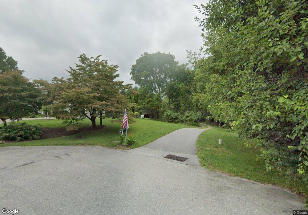
912 White Ridge Rd Downingtown, PA 19335
Estimated Value: $699,676 - $836,000
4
Beds
4
Baths
2,446
Sq Ft
$314/Sq Ft
Est. Value
About This Home
This home is located at 912 White Ridge Rd, Downingtown, PA 19335 and is currently estimated at $767,419, approximately $313 per square foot. 912 White Ridge Rd is a home located in Chester County with nearby schools including East Bradford Elementary School, E.N. Peirce Middle School, and Henderson High School.
Ownership History
Date
Name
Owned For
Owner Type
Purchase Details
Closed on
Aug 26, 2009
Sold by
Giesecke Daniel S and Estate Of Harry W Giesecke
Bought by
Giesecke Daniel S and Giesecke Betsy Lynne
Current Estimated Value
Purchase Details
Closed on
Oct 30, 1996
Sold by
Reinhardt Richard H and Reinhardt Richard H
Bought by
Giesecke Daniel S and Giesecke Christine L
Purchase Details
Closed on
Dec 15, 1993
Sold by
White Henry E
Bought by
Reinhardt Richard H and Reinhardt Richard H
Create a Home Valuation Report for This Property
The Home Valuation Report is an in-depth analysis detailing your home's value as well as a comparison with similar homes in the area
Home Values in the Area
Average Home Value in this Area
Purchase History
| Date | Buyer | Sale Price | Title Company |
|---|---|---|---|
| Giesecke Daniel S | -- | None Available | |
| Giesecke Daniel S | -- | -- | |
| Reinhardt Richard H | $62,500 | -- |
Source: Public Records
Tax History Compared to Growth
Tax History
| Year | Tax Paid | Tax Assessment Tax Assessment Total Assessment is a certain percentage of the fair market value that is determined by local assessors to be the total taxable value of land and additions on the property. | Land | Improvement |
|---|---|---|---|---|
| 2025 | $6,515 | $224,750 | $41,070 | $183,680 |
| 2024 | $6,515 | $224,750 | $41,070 | $183,680 |
| 2023 | $6,459 | $224,750 | $41,070 | $183,680 |
| 2022 | $6,374 | $224,750 | $41,070 | $183,680 |
| 2021 | $6,229 | $224,750 | $41,070 | $183,680 |
| 2020 | $6,188 | $224,750 | $41,070 | $183,680 |
| 2019 | $5,988 | $224,750 | $41,070 | $183,680 |
| 2018 | $5,855 | $224,750 | $41,070 | $183,680 |
| 2017 | $5,724 | $224,750 | $41,070 | $183,680 |
| 2016 | $4,894 | $224,750 | $41,070 | $183,680 |
| 2015 | $4,894 | $224,750 | $41,070 | $183,680 |
| 2014 | $4,894 | $224,750 | $41,070 | $183,680 |
Source: Public Records
Map
Nearby Homes
- 855 Brandywine Rd
- 990 Connor Rd
- 1280 Cardinal Ave
- 81 Four Leaf Dr
- 1020 Boot Rd
- 510 Pine Needle Dr
- 1252 Memory Ln
- 1179 Harmony Hill Rd
- 1430 Grove Ave
- 1432 Grove Ave
- 422 Spackman Ln
- 713 Cynthia Ln
- 1223 Hall Rd
- 16 Long Dr
- 317 William Taft Ave
- 344 Lincoln Ave
- 138 Sussex Rd
- 530 Legion Dr
- 316 Lincoln Ave
- 430 Jefferson Ave
- 908 White Ridge Rd
- 904 White Ridge Rd Unit 514
- 875 Brandywine Rd
- 900 White Ridge Rd
- 861 Brandywine Rd
- 853 Brandywine Rd
- 859 Brandywine Rd
- 851 Brandywine Rd
- 851 Brandywine Rd
- 854 Brandywine Rd
- 880 Brandywine Rd
- 909 Briarwood Cir
- 911 Briar Wood Cir
- 907 Briar Wood Ct
- 909 Briar Wood Cir
- 913 Briar Wood Cir
- 850 Brandywine Rd
- 849 Brandywine Rd
- 915 Briar Wood Cir
- 905 Briar Wood Ct
