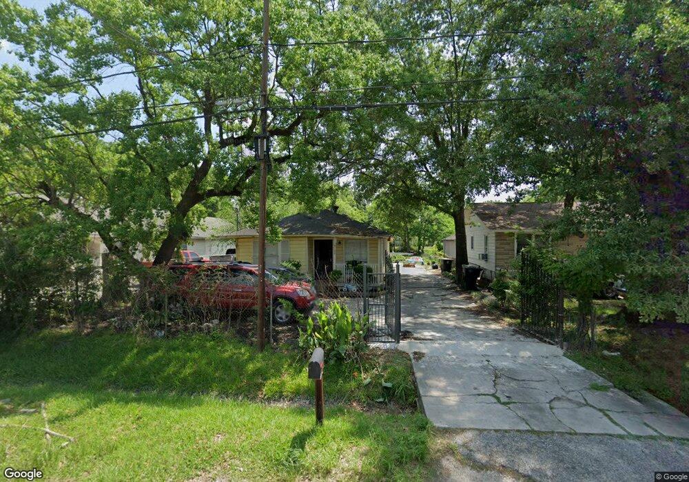
9120 Camay Dr Houston, TX 77016
Trinity-Houston Gardens NeighborhoodEstimated Value: $151,000 - $185,000
4
Beds
2
Baths
1,818
Sq Ft
$93/Sq Ft
Est. Value
About This Home
This home is located at 9120 Camay Dr, Houston, TX 77016 and is currently estimated at $168,807, approximately $92 per square foot. 9120 Camay Dr is a home located in Harris County with nearby schools including Felix Cook Jr. Elementary School, Key Middle, and Kashmere High School.
Ownership History
Date
Name
Owned For
Owner Type
Purchase Details
Closed on
Jun 8, 2021
Sold by
Felipe Farias and Felipe Manuel Farias
Bought by
Sanchez Toscano Maria Magdalena and Sanchez Socorro Toscano
Current Estimated Value
Home Financials for this Owner
Home Financials are based on the most recent Mortgage that was taken out on this home.
Original Mortgage
$43,000
Outstanding Balance
$38,931
Interest Rate
2.9%
Mortgage Type
Purchase Money Mortgage
Estimated Equity
$129,876
Create a Home Valuation Report for This Property
The Home Valuation Report is an in-depth analysis detailing your home's value as well as a comparison with similar homes in the area
Home Values in the Area
Average Home Value in this Area
Purchase History
| Date | Buyer | Sale Price | Title Company |
|---|---|---|---|
| Sanchez Toscano Maria Magdalena | -- | None Available |
Source: Public Records
Mortgage History
| Date | Status | Borrower | Loan Amount |
|---|---|---|---|
| Open | Sanchez Toscano Maria Magdalena | $43,000 |
Source: Public Records
Tax History Compared to Growth
Tax History
| Year | Tax Paid | Tax Assessment Tax Assessment Total Assessment is a certain percentage of the fair market value that is determined by local assessors to be the total taxable value of land and additions on the property. | Land | Improvement |
|---|---|---|---|---|
| 2025 | $1,756 | $144,483 | $67,650 | $76,833 |
| 2024 | $1,756 | $144,483 | $67,650 | $76,833 |
| 2023 | $1,756 | $122,985 | $50,738 | $72,247 |
| 2022 | $2,115 | $96,031 | $33,825 | $62,206 |
| 2021 | $1,733 | $74,371 | $16,913 | $57,458 |
| 2020 | $1,801 | $74,371 | $16,913 | $57,458 |
| 2019 | $1,882 | $74,371 | $16,913 | $57,458 |
| 2018 | $1,757 | $69,415 | $12,177 | $57,238 |
| 2017 | $1,755 | $69,415 | $12,177 | $57,238 |
| 2016 | $1,755 | $69,415 | $12,177 | $57,238 |
| 2015 | $938 | $36,499 | $12,177 | $24,322 |
| 2014 | $938 | $36,499 | $12,177 | $24,322 |
Source: Public Records
Map
Nearby Homes
- 9009 Compton St
- 8504 Shady Dr
- 8914 Lanewood Dr
- 6415 Laura Koppe Rd
- 9205 & 9207 Spaulding St
- 6320 Laura Koppe Rd
- 6513 Laura Koppe Rd
- 6012 Laura Koppe Rd
- 6005 Laura Koppe Rd
- 6226 E Tidwell Rd
- 8928 Homestead Rd
- 9227 Homestead Rd
- 8716 Allwood St
- 8700 Lanewood Dr
- 9317 Homestead Rd
- 8636 Allwood St
- 5009 Tidwell Rd
- 6110 Tidwell Rd
- 6206 Antha St
- 8634 Allwood St
- 9110 Camay Dr
- 9122 Camay Dr
- 9124 Camay Dr
- 9105 Compton St
- 6310 Firnat St
- 9102 Camay Dr
- 6306 Firnat St
- 6302 Firnat St
- 9109 Compton St
- 0 NE Compton St Unit 18454038
- 9030 Camay Dr
- 9113 Compton St
- 9019 Compton St
- 9026 Camay Dr
- 9111 Camay Dr
- 9015 Compton St
- 9109 Camay Dr
- 9135 Camay Dr
- 9101 Camay Dr
- 9101 Compton St