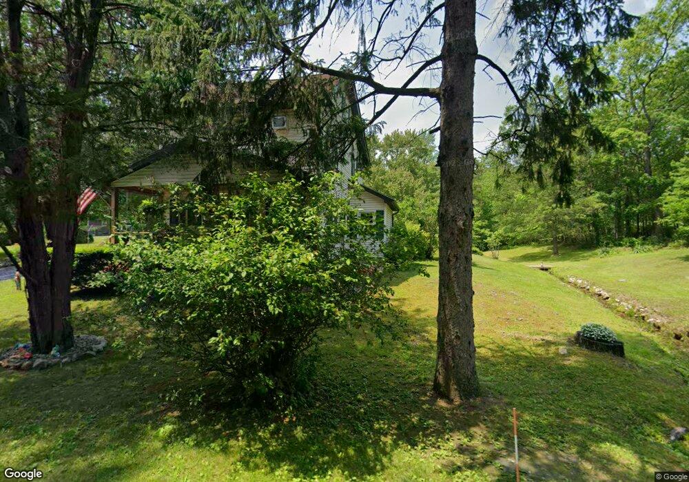
9123 N Loop Rd Slatington, PA 18080
Estimated Value: $274,666 - $347,000
3
Beds
1
Bath
1,120
Sq Ft
$286/Sq Ft
Est. Value
About This Home
This home is located at 9123 N Loop Rd, Slatington, PA 18080 and is currently estimated at $320,222, approximately $285 per square foot. 9123 N Loop Rd is a home located in Lehigh County with nearby schools including Peters Elementary School, Slatington Elementary School, and Northern Lehigh Middle School.
Ownership History
Date
Name
Owned For
Owner Type
Purchase Details
Closed on
Apr 13, 1992
Sold by
Haas Keith J
Bought by
Haas Keith J and Haas Sally A
Current Estimated Value
Purchase Details
Closed on
Apr 28, 1989
Sold by
Haas Keith J and Haas Carol L
Bought by
Haas Keith J
Purchase Details
Closed on
Apr 9, 1987
Sold by
Haas Lamar K and Haas Claire H
Bought by
Haas Keith J and Haas Carol L
Purchase Details
Closed on
Nov 26, 1985
Bought by
Haas Lamar K and Haas Claire H
Create a Home Valuation Report for This Property
The Home Valuation Report is an in-depth analysis detailing your home's value as well as a comparison with similar homes in the area
Home Values in the Area
Average Home Value in this Area
Purchase History
| Date | Buyer | Sale Price | Title Company |
|---|---|---|---|
| Haas Keith J | -- | -- | |
| Haas Keith J | -- | -- | |
| Haas Keith J | -- | -- | |
| Haas Lamar K | $32,000 | -- |
Source: Public Records
Tax History
| Year | Tax Paid | Tax Assessment Tax Assessment Total Assessment is a certain percentage of the fair market value that is determined by local assessors to be the total taxable value of land and additions on the property. | Land | Improvement |
|---|---|---|---|---|
| 2026 | $4,898 | $161,800 | $103,300 | $58,500 |
| 2025 | $4,766 | $161,800 | $103,300 | $58,500 |
| 2024 | $4,683 | $161,800 | $103,300 | $58,500 |
| 2023 | $4,554 | $161,800 | $103,300 | $58,500 |
| 2022 | $4,473 | $161,800 | $58,500 | $103,300 |
| 2021 | $4,397 | $161,800 | $103,300 | $58,500 |
| 2020 | $4,303 | $161,800 | $103,300 | $58,500 |
| 2019 | $4,191 | $161,800 | $103,300 | $58,500 |
| 2018 | $4,091 | $161,800 | $103,300 | $58,500 |
| 2017 | $4,079 | $161,800 | $103,300 | $58,500 |
| 2016 | -- | $161,800 | $103,300 | $58,500 |
| 2015 | -- | $161,800 | $103,300 | $58,500 |
| 2014 | -- | $161,800 | $103,300 | $58,500 |
Source: Public Records
Map
Nearby Homes
- 8624 Ashfield Rd
- 3538 Mountain Rd Unit 3540
- 8600 Delong Dr
- 3907 Main St
- 9050 Reservoir Rd
- 0 Main St Unit 769797
- 7763 Center St
- 7757 Center St
- 7761 Center St
- 304 White Ln
- 3714 Old Mill Rd
- 422 White St
- 211 Fireline Rd
- 1104 Princeton Ave
- 4238 Best Station Rd
- 3006 Beddall St
- 420 7th St
- 1060 Arbor Ln
- 1021 Princeton Ave
- 1055 Pine Tree Dr
Your Personal Tour Guide
Ask me questions while you tour the home.