9123 Spring Arbor Rd Spring Arbor, MI 49283
Estimated Value: $237,000 - $449,000
Studio
--
Bath
1,370
Sq Ft
$283/Sq Ft
Est. Value
About This Home
This home is located at 9123 Spring Arbor Rd, Spring Arbor, MI 49283 and is currently estimated at $387,460, approximately $282 per square foot. 9123 Spring Arbor Rd is a home located in Jackson County with nearby schools including Western High School and Trinity Lutheran School.
Ownership History
Date
Name
Owned For
Owner Type
Purchase Details
Closed on
Dec 30, 2002
Sold by
Reighter Donna L
Bought by
Smilowski Robert G and Braun Joanna Leigh
Current Estimated Value
Home Financials for this Owner
Home Financials are based on the most recent Mortgage that was taken out on this home.
Original Mortgage
$236,000
Outstanding Balance
$100,607
Interest Rate
6.01%
Estimated Equity
$286,853
Create a Home Valuation Report for This Property
The Home Valuation Report is an in-depth analysis detailing your home's value as well as a comparison with similar homes in the area
Home Values in the Area
Average Home Value in this Area
Purchase History
| Date | Buyer | Sale Price | Title Company |
|---|---|---|---|
| Smilowski Robert G | $295,000 | -- |
Source: Public Records
Mortgage History
| Date | Status | Borrower | Loan Amount |
|---|---|---|---|
| Open | Smilowski Robert G | $236,000 |
Source: Public Records
Tax History
| Year | Tax Paid | Tax Assessment Tax Assessment Total Assessment is a certain percentage of the fair market value that is determined by local assessors to be the total taxable value of land and additions on the property. | Land | Improvement |
|---|---|---|---|---|
| 2025 | $5,514 | $215,300 | $0 | $0 |
| 2024 | $33 | $197,000 | $0 | $0 |
| 2023 | $3,274 | $181,500 | $0 | $0 |
| 2022 | $5,004 | $171,600 | $0 | $0 |
| 2021 | $4,913 | $168,770 | $0 | $0 |
| 2020 | $4,854 | $138,090 | $0 | $0 |
| 2019 | $4,615 | $128,500 | $0 | $0 |
| 2018 | $4,604 | $122,060 | $41,090 | $80,970 |
| 2017 | $4,356 | $117,450 | $0 | $0 |
| 2016 | $2,980 | $138,010 | $138,010 | $0 |
| 2015 | $122,478 | $135,500 | $135,500 | $0 |
| 2014 | $122,478 | $127,460 | $0 | $0 |
| 2013 | -- | $127,460 | $127,460 | $0 |
Source: Public Records
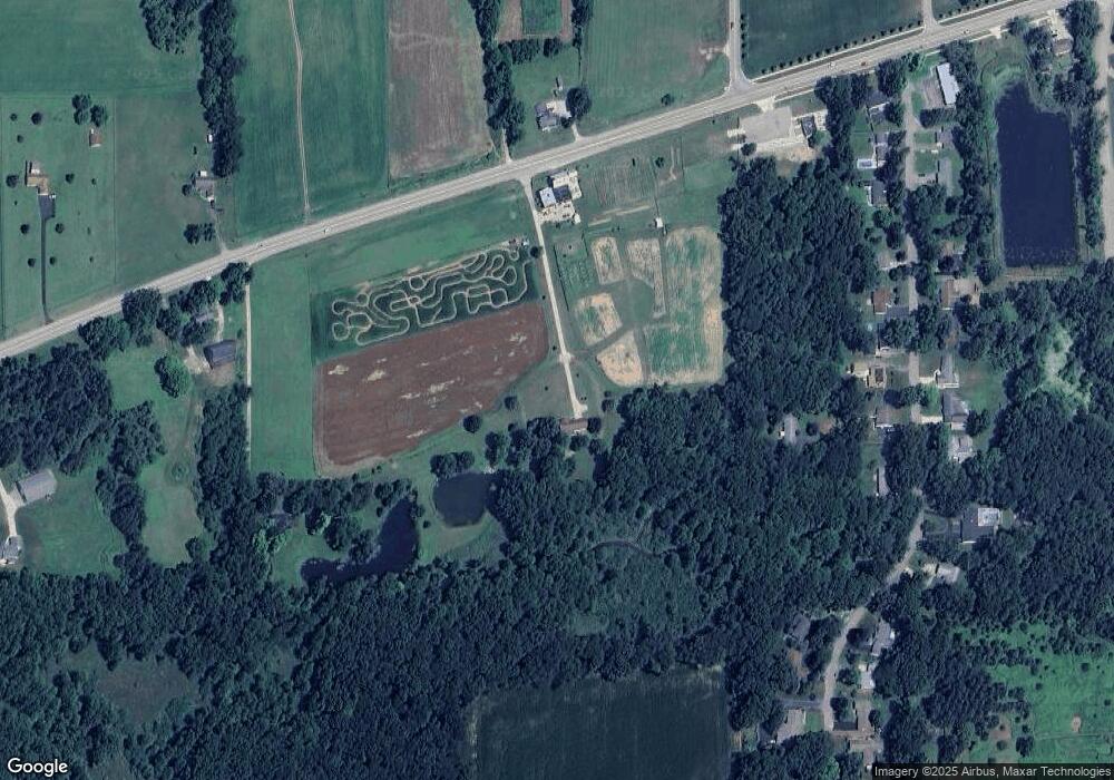
Map
Nearby Homes
- 4055 Mathews Rd
- 68 Dickens St
- 329 E Main St
- 7315 King Rd
- V/L S Dearing Rd Unit 40 Acres Vacant Land
- 2503 Milford Rd
- 6728 King Rd
- 0 King Rd Unit 25060444
- 1864 Chapel Rd
- 7870 Sears Rd
- 20 AC VL Sears Rd
- 1570 Chapel Rd
- 6820 Bowerman Rd
- 0 S Parma Rd Unit 26002151
- 0 S Parma Rd Unit 26002152
- 6930 Bowerman Rd
- 5427 Vrooman Rd
- 1126 Chapel Rd
- VL Sears Rd
- 2659 Fairway Dr
- 9118 Spring Arbor Rd
- 0 Spring Arbor Rd Unit M-60 20010348
- 0 Spring Arbor Rd Unit M-60 20013765
- 0 Spring Arbor Rd Unit 1063665
- 0 Spring Arbor Rd Unit 20000446
- 0 Spring Arbor Rd Unit 20002210
- 0 Spring Arbor Rd Unit 20003079
- 0 Spring Arbor Rd Unit 20005737
- 0 Spring Arbor Rd Unit ,M-60 20010348
- 0 Spring Arbor Rd Unit 201700680
- 0 Spring Arbor Rd Unit 55022029201
- 0 Spring Arbor Rd Unit 55021038677
- 0 Spring Arbor Rd Unit 55021037259
- 0 Spring Arbor Rd Unit 22029201
- 0 Spring Arbor Rd Unit M21038649
- 0 Spring Arbor Rd Unit M21038677
- 0 Spring Arbor Rd Unit M21043162
- 0 Spring Arbor Rd Unit M21037259
- 0 Spring Arbor Rd Unit M21037082
- 0 Spring Arbor Rd Unit M21036850
Your Personal Tour Guide
Ask me questions while you tour the home.