9125 N 550 W Thorntown, IN 46071
Estimated Value: $391,000 - $636,988
4
Beds
3
Baths
2,032
Sq Ft
$260/Sq Ft
Est. Value
About This Home
This home is located at 9125 N 550 W, Thorntown, IN 46071 and is currently estimated at $527,329, approximately $259 per square foot. 9125 N 550 W is a home located in Boone County with nearby schools including Western Boone Junior/Senior High School.
Ownership History
Date
Name
Owned For
Owner Type
Purchase Details
Closed on
Nov 25, 2008
Sold by
Smith Angela
Bought by
Smith Ii Alvin and Smith Angela
Current Estimated Value
Home Financials for this Owner
Home Financials are based on the most recent Mortgage that was taken out on this home.
Original Mortgage
$150,000
Outstanding Balance
$100,818
Interest Rate
6.57%
Mortgage Type
Purchase Money Mortgage
Estimated Equity
$426,511
Create a Home Valuation Report for This Property
The Home Valuation Report is an in-depth analysis detailing your home's value as well as a comparison with similar homes in the area
Home Values in the Area
Average Home Value in this Area
Purchase History
| Date | Buyer | Sale Price | Title Company |
|---|---|---|---|
| Smith Ii Alvin | -- | -- |
Source: Public Records
Mortgage History
| Date | Status | Borrower | Loan Amount |
|---|---|---|---|
| Open | Smith Ii Alvin | $150,000 |
Source: Public Records
Tax History Compared to Growth
Tax History
| Year | Tax Paid | Tax Assessment Tax Assessment Total Assessment is a certain percentage of the fair market value that is determined by local assessors to be the total taxable value of land and additions on the property. | Land | Improvement |
|---|---|---|---|---|
| 2025 | $3,164 | $443,100 | $83,700 | $359,400 |
| 2024 | $3,164 | $423,700 | $83,700 | $340,000 |
| 2023 | $3,064 | $394,600 | $83,600 | $311,000 |
| 2022 | $3,424 | $400,600 | $83,500 | $317,100 |
| 2021 | $3,116 | $344,300 | $83,400 | $260,900 |
| 2020 | $3,015 | $334,200 | $83,400 | $250,800 |
| 2019 | $2,342 | $285,200 | $83,500 | $201,700 |
| 2018 | $2,202 | $273,100 | $83,500 | $189,600 |
| 2017 | $2,145 | $274,100 | $83,600 | $190,500 |
| 2016 | $1,961 | $260,800 | $83,600 | $177,200 |
| 2014 | $1,862 | $260,900 | $83,600 | $177,300 |
| 2013 | $1,777 | $249,300 | $74,900 | $174,400 |
Source: Public Records
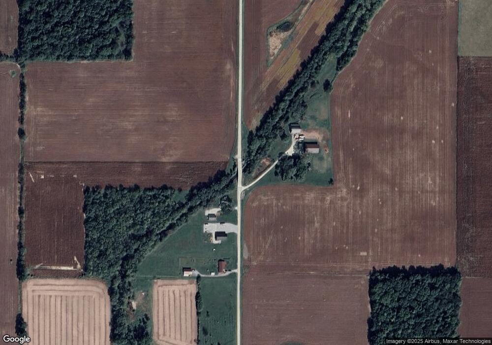
Map
Nearby Homes
- 7018 S County Road 430 W
- 7147 S Co Road 130 W
- 5779 W State Road 47
- 328 N Front St
- 6433 W State Road 47
- 6691 Indiana 47
- 6519 N 350 W
- 117 N Market St
- 223 S West St
- Ironwood Plan at Northwood Haven
- Spruce Plan at Northwood Haven
- Ashton Plan at Northwood Haven
- Palmetto Plan at Northwood Haven
- Bradford Plan at Northwood Haven
- Aspen II Plan at Northwood Haven
- Empress Plan at Northwood Haven
- Juniper Plan at Northwood Haven
- Chestnut Plan at Northwood Haven
- Norway Plan at Northwood Haven
- Cooper Plan at Northwood Haven
- 9060 N 550 W
- 9006 N 550 W
- 9191 N 550 W
- 950 W North St Unit 5979
- 2768 W County Road 750 N
- 3458 W County Road 750 S
- 8786 N 550 W
- 5145 W 950 N
- 9010 N 500 W
- 8727 N 550 W
- 8727 N 550 W
- 7194 S County Road 350 W
- 8864 N 500 W
- 8640 N 550 W
- 4967 W 950 N
- 7039 S County Road 350 W
- 3577 W County Road 730 S
- 5820 W 850 N
- 5735 W 850 N
- 5954 W 850 N