9125 Shadduck Rd Mc Kean, PA 16426
Estimated Value: $252,000 - $375,500
2
Beds
2
Baths
1,536
Sq Ft
$193/Sq Ft
Est. Value
About This Home
This home is located at 9125 Shadduck Rd, Mc Kean, PA 16426 and is currently estimated at $296,625, approximately $193 per square foot. 9125 Shadduck Rd is a home located in Erie County with nearby schools including McKean Elementary School, James W. Parker Middle School, and General McLane High School.
Ownership History
Date
Name
Owned For
Owner Type
Purchase Details
Closed on
Jul 1, 2010
Sold by
Hoehn Rose
Bought by
Schroeck Marlene Gresh and Schroeck Gary A
Current Estimated Value
Create a Home Valuation Report for This Property
The Home Valuation Report is an in-depth analysis detailing your home's value as well as a comparison with similar homes in the area
Home Values in the Area
Average Home Value in this Area
Purchase History
| Date | Buyer | Sale Price | Title Company |
|---|---|---|---|
| Schroeck Marlene Gresh | $54,275 | None Available |
Source: Public Records
Tax History Compared to Growth
Tax History
| Year | Tax Paid | Tax Assessment Tax Assessment Total Assessment is a certain percentage of the fair market value that is determined by local assessors to be the total taxable value of land and additions on the property. | Land | Improvement |
|---|---|---|---|---|
| 2025 | $3,773 | $165,700 | $55,800 | $109,900 |
| 2024 | $3,654 | $165,700 | $55,800 | $109,900 |
| 2023 | $3,438 | $165,700 | $55,800 | $109,900 |
| 2022 | $3,339 | $165,700 | $55,800 | $109,900 |
| 2021 | $3,296 | $194,200 | $84,300 | $109,900 |
| 2020 | $3,254 | $194,200 | $84,300 | $109,900 |
| 2019 | $3,233 | $194,200 | $84,300 | $109,900 |
| 2018 | $3,163 | $194,200 | $84,300 | $109,900 |
| 2017 | $3,163 | $165,700 | $55,800 | $109,900 |
| 2016 | $3,767 | $165,700 | $55,800 | $109,900 |
| 2015 | $3,725 | $165,700 | $55,800 | $109,900 |
| 2014 | $1,791 | $165,700 | $55,800 | $109,900 |
Source: Public Records
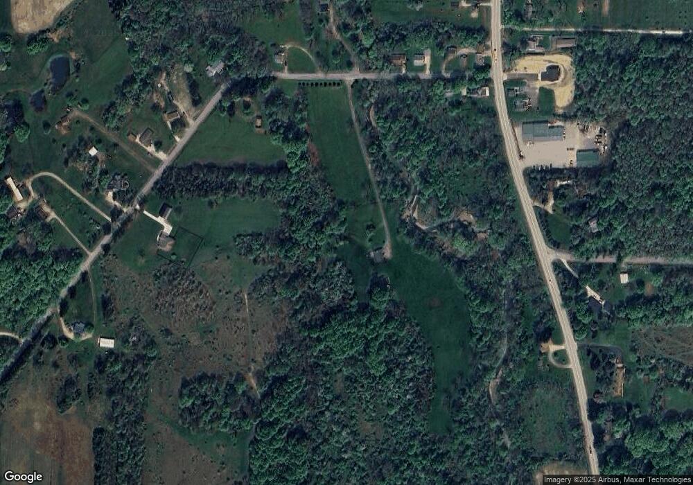
Map
Nearby Homes
- 702 Skyline Dr
- 5115 West Rd
- 11897 Silverthorn (Tr 86 Rt T438) Rd
- 4954 East Ave
- 0 Edinboro Rd Unit 182375
- 209 Timberlake Dr
- 4854 N Main St
- 6330 Rick Rd
- 8580 Rick Rd
- 8389 Edinboro Rd
- 15 Woodside Dr
- 6797 Sterrettania Rd
- 6419 Sterrettania Rd
- 9731 Silverthorn Rd
- 2880 Cardinal Dr Unit 34
- 2800 Sun Ridge Dr
- 0 Pagan Rd
- 8535 Oliver Rd
- 11060 Edinboro Rd
- 8340-8350 Oliver Rd
- 9340 Edinboro Rd
- 9340 Edinboro Rd
- 9340 Edinboro Rd
- 9210 Edinboro Rd
- 9120 Shadduck Rd
- 9114 Shadduck Rd
- 9155 Shadduck Rd
- 9106 Shadduck Rd
- 9251 Edinboro Rd
- 9179 Shadduck Rd
- 4966 Greenlee Rd
- 9140 Shadduck Rd
- 4979 Greenlee Rd
- 9193 Edinboro Rd
- 9124 Shadduck Rd
- 9156 Shadduck Rd
- 9164 Shadduck Rd
- 9152 Shadduck Rd
- 9172 Shadduck Rd
- 9181 Main St