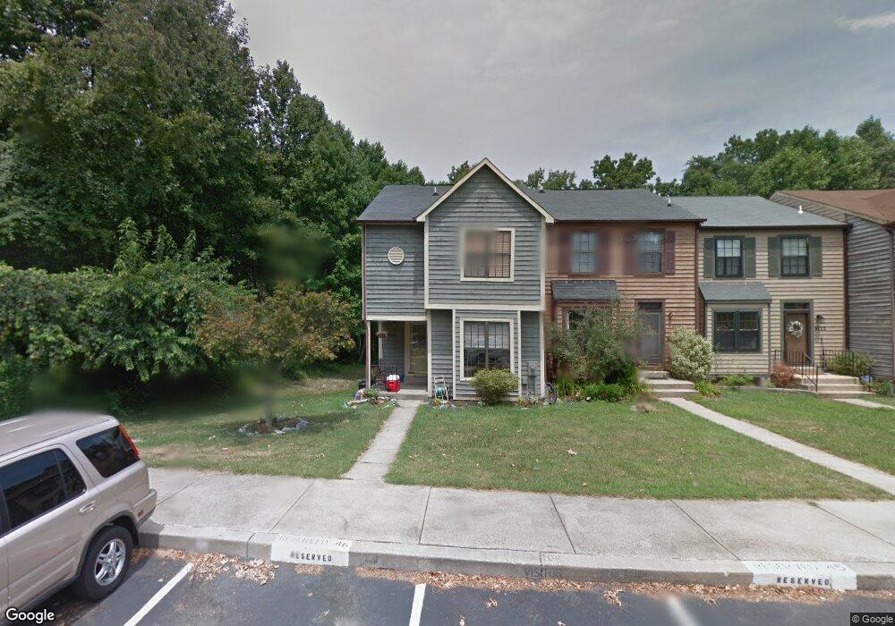
9126 Tymat Ct Laurel, MD 20723
North Laurel NeighborhoodEstimated Value: $349,710 - $463,000
Studio
2
Baths
1,331
Sq Ft
$307/Sq Ft
Est. Value
About This Home
This home is located at 9126 Tymat Ct, Laurel, MD 20723 and is currently estimated at $409,178, approximately $307 per square foot. 9126 Tymat Ct is a home located in Howard County with nearby schools including Gorman Crossing Elementary School, Murray Hill Middle School, and Reservoir High School.
Ownership History
Date
Name
Owned For
Owner Type
Purchase Details
Closed on
Aug 7, 2001
Sold by
Panizari Debra L
Bought by
Panizari Debra L
Current Estimated Value
Purchase Details
Closed on
Aug 8, 1996
Sold by
Moon Richard J
Bought by
Panizari Debra L and Panizari John C
Purchase Details
Closed on
Jan 26, 1989
Sold by
First Ridge Limited Partnership
Bought by
Moon Richard J
Home Financials for this Owner
Home Financials are based on the most recent Mortgage that was taken out on this home.
Original Mortgage
$105,090
Interest Rate
10.71%
Create a Home Valuation Report for This Property
The Home Valuation Report is an in-depth analysis detailing your home's value as well as a comparison with similar homes in the area
Home Values in the Area
Average Home Value in this Area
Purchase History
| Date | Buyer | Sale Price | Title Company |
|---|---|---|---|
| Panizari Debra L | $60,630 | -- | |
| Panizari Debra L | $128,000 | -- | |
| Moon Richard J | $110,200 | -- |
Source: Public Records
Mortgage History
| Date | Status | Borrower | Loan Amount |
|---|---|---|---|
| Previous Owner | Moon Richard J | $105,090 | |
| Closed | Panizari Debra L | -- |
Source: Public Records
Tax History
| Year | Tax Paid | Tax Assessment Tax Assessment Total Assessment is a certain percentage of the fair market value that is determined by local assessors to be the total taxable value of land and additions on the property. | Land | Improvement |
|---|---|---|---|---|
| 2025 | $4,684 | $328,800 | $150,000 | $178,800 |
| 2024 | $4,684 | $308,900 | $0 | $0 |
| 2023 | $4,421 | $289,000 | $0 | $0 |
| 2022 | $4,177 | $269,100 | $120,000 | $149,100 |
| 2021 | $3,819 | $256,200 | $0 | $0 |
| 2020 | $3,819 | $243,300 | $0 | $0 |
| 2019 | $3,651 | $230,400 | $87,500 | $142,900 |
| 2018 | $3,434 | $228,833 | $0 | $0 |
| 2017 | $3,431 | $230,400 | $0 | $0 |
| 2016 | -- | $225,700 | $0 | $0 |
| 2015 | -- | $225,700 | $0 | $0 |
| 2014 | -- | $225,700 | $0 | $0 |
Source: Public Records
Map
Nearby Homes
- 9437 Fairview Ave
- 9429 Fairview Ave
- 9711 Whiskey Run
- 9425 Fairview Ave
- 9342 Canterbury Riding
- 9401 Riverbrink Ct
- 9695 Hitching Post Ln Unit H
- 9175 Hitching Post Ln Unit F
- 9075 N Laurel Rd Unit E
- 9640 Homestead Ct Unit F
- 1103 Montgomery St
- 1211 Snowden Place
- 910 Montgomery St Unit A
- 9070 Moonshine Hollow
- 19 Post Office Ave Unit 203
- 1116 Westview Terrace
- 1016 Phillip Powers Dr
- 8616 Doves Fly Way
- 916 Philip Powers Dr
- 9947 Harmony Ln
Your Personal Tour Guide
Ask me questions while you tour the home.