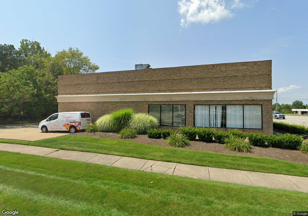
9127 State Route 14 Streetsboro, OH 44241
Estimated Value: $417,908
3
Beds
1
Bath
1,100
Sq Ft
$380/Sq Ft
Est. Value
About This Home
This home is located at 9127 State Route 14, Streetsboro, OH 44241 and is currently estimated at $417,908, approximately $379 per square foot. 9127 State Route 14 is a home located in Portage County with nearby schools including Streetsboro High School and Crossroads Christian Academy.
Ownership History
Date
Name
Owned For
Owner Type
Purchase Details
Closed on
Sep 23, 2024
Sold by
Concord Properties Partners Co Ltd
Bought by
Commercial Estate Llc
Current Estimated Value
Home Financials for this Owner
Home Financials are based on the most recent Mortgage that was taken out on this home.
Original Mortgage
$304,000
Outstanding Balance
$300,576
Interest Rate
6.46%
Mortgage Type
New Conventional
Estimated Equity
$117,332
Purchase Details
Closed on
Feb 5, 2004
Sold by
Gallucci Jane and Gallucci Gust
Bought by
Concord Properties Partners Co Ltd
Purchase Details
Closed on
Nov 30, 1987
Bought by
Gallucci Frank L
Create a Home Valuation Report for This Property
The Home Valuation Report is an in-depth analysis detailing your home's value as well as a comparison with similar homes in the area
Home Values in the Area
Average Home Value in this Area
Purchase History
| Date | Buyer | Sale Price | Title Company |
|---|---|---|---|
| Commercial Estate Llc | $400,000 | None Listed On Document | |
| Concord Properties Partners Co Ltd | -- | Surety Title Agency Inc | |
| Gallucci Frank L | $81,000 | -- |
Source: Public Records
Mortgage History
| Date | Status | Borrower | Loan Amount |
|---|---|---|---|
| Open | Commercial Estate Llc | $304,000 |
Source: Public Records
Tax History Compared to Growth
Tax History
| Year | Tax Paid | Tax Assessment Tax Assessment Total Assessment is a certain percentage of the fair market value that is determined by local assessors to be the total taxable value of land and additions on the property. | Land | Improvement |
|---|---|---|---|---|
| 2024 | $6,408 | $102,100 | $26,530 | $75,570 |
| 2023 | $6,273 | $82,290 | $28,740 | $53,550 |
| 2022 | $5,601 | $82,290 | $28,740 | $53,550 |
| 2021 | $5,573 | $82,290 | $28,740 | $53,550 |
| 2020 | $5,538 | $82,290 | $28,740 | $53,550 |
| 2019 | $5,574 | $82,290 | $28,740 | $53,550 |
| 2018 | $4,859 | $82,150 | $28,740 | $53,410 |
| 2017 | $4,859 | $82,150 | $28,740 | $53,410 |
| 2016 | $4,873 | $82,150 | $28,740 | $53,410 |
| 2015 | $4,890 | $82,150 | $28,740 | $53,410 |
| 2014 | $4,963 | $82,150 | $28,740 | $53,410 |
| 2013 | $4,938 | $82,150 | $28,740 | $53,410 |
Source: Public Records
Map
Nearby Homes
- 9018 Patriot Dr
- 9012 Patriot Dr
- 1446 Trader Dr Unit H5
- 1440 Trader Dr
- 9315 June Dr
- 8807 Kelly Ln
- 1648 Maple View Ct
- 1490 Evergreen Dr
- 1489 Crescent Dr
- 9244 Lakeside Dr
- 9431 Briar Dr
- 1516 Gillie Dr
- 1280 Shawnee Trail
- 1405 Gillie Dr
- V/L State Route 14
- 1013 Ashwood Ln
- 1011 Ashwood Ln
- 9247 Chestnut Ct
- 1159 Shawnee Trail
- 9251 Chestnut Ct
- 9127 Ohio 14 Unit A
- 10 Ranch Rd
- 9227 Ohio 14 Unit C
- Lot 18 Ranch Rd
- 2053 Ohio 303
- V/L Ohio 303
- 0 Ohio 303
- 9156 State Route 14
- 9160 State Route 14
- 9048 Patriot Dr
- 1441 Colony Dr Unit Q6
- 1437 Colony Dr
- 1437 Colony Dr Unit Q-5
- 9044 Patriot Dr
- 9050 Patriot Dr Unit P1
- 9042 Patriot Dr Unit P4
- 1433 Colony Dr
- 1429 Colony Dr
- 9045 Patriot Dr Unit O5
- 9045 Patriot Dr Unit 5