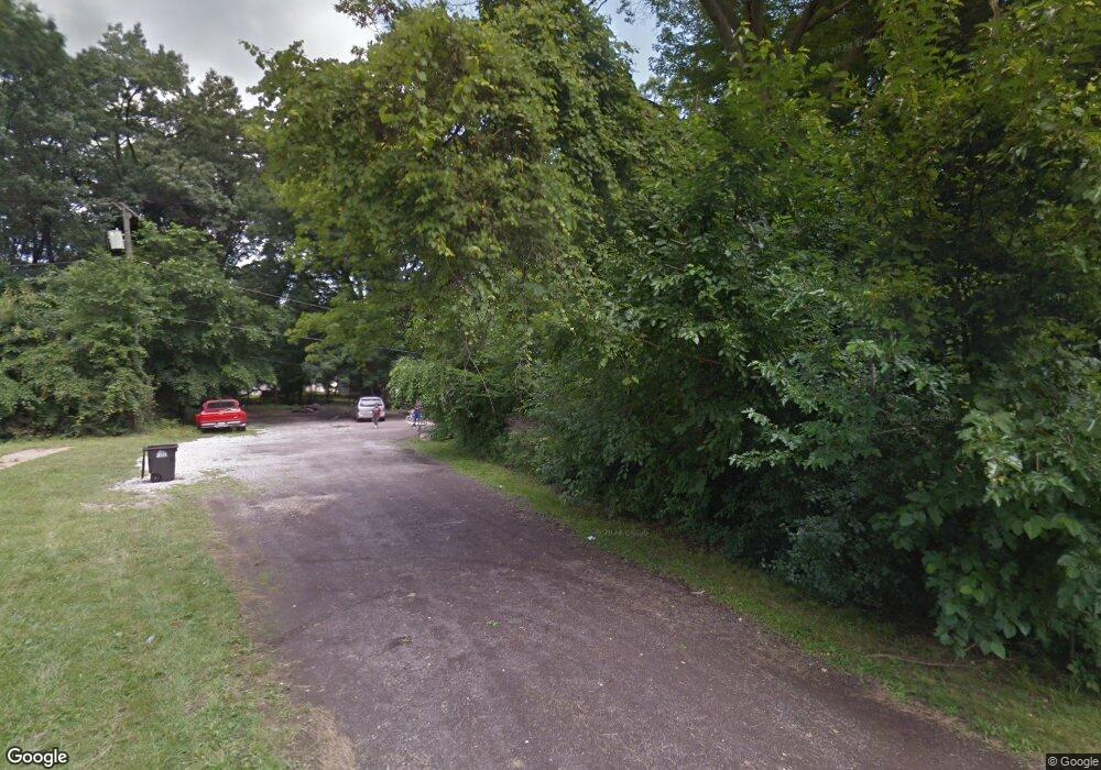
9127 Syracuse St Taylor, MI 48180
Estimated Value: $257,209 - $316,000
3
Beds
2
Baths
1,902
Sq Ft
$146/Sq Ft
Est. Value
About This Home
This home is located at 9127 Syracuse St, Taylor, MI 48180 and is currently estimated at $278,070, approximately $146 per square foot. 9127 Syracuse St is a home located in Wayne County with nearby schools including Clarence Randall Elementary School, Robert J. West Middle School, and Taylor High School.
Ownership History
Date
Name
Owned For
Owner Type
Purchase Details
Closed on
May 25, 2010
Sold by
Hull Shannon and Hull Thomas
Bought by
Braden Sam and Braden Ruth
Current Estimated Value
Purchase Details
Closed on
Jun 24, 2009
Sold by
Citimortgage Inc
Bought by
Federal National Mortgage Association
Purchase Details
Closed on
Nov 26, 2002
Sold by
Reiter Paula Marie and Reiter Michael
Bought by
Hull Thomas R
Create a Home Valuation Report for This Property
The Home Valuation Report is an in-depth analysis detailing your home's value as well as a comparison with similar homes in the area
Home Values in the Area
Average Home Value in this Area
Purchase History
| Date | Buyer | Sale Price | Title Company |
|---|---|---|---|
| Braden Sam | $5,000 | Michigan Title Insurance Age | |
| Federal National Mortgage Association | -- | None Available | |
| Abn Amro Mortgage Group Inc | $150,411 | None Available | |
| Hull Thomas R | $120,000 | First American Title Ins Co | |
| Reiter Michael | $80,000 | First American Title Ins Co |
Source: Public Records
Tax History Compared to Growth
Tax History
| Year | Tax Paid | Tax Assessment Tax Assessment Total Assessment is a certain percentage of the fair market value that is determined by local assessors to be the total taxable value of land and additions on the property. | Land | Improvement |
|---|---|---|---|---|
| 2025 | $2,358 | $140,600 | $0 | $0 |
| 2024 | $2,283 | $127,500 | $0 | $0 |
| 2023 | $2,697 | $120,200 | $0 | $0 |
| 2022 | $2,179 | $100,100 | $0 | $0 |
| 2021 | $2,376 | $81,200 | $0 | $0 |
| 2020 | $2,352 | $68,900 | $0 | $0 |
| 2019 | $235,313 | $74,500 | $0 | $0 |
| 2018 | $1,871 | $56,700 | $0 | $0 |
| 2017 | $963 | $43,500 | $0 | $0 |
| 2016 | $2,282 | $42,200 | $0 | $0 |
| 2015 | $3,962 | $39,800 | $0 | $0 |
| 2013 | $3,950 | $41,400 | $0 | $0 |
| 2012 | $2,630 | $40,400 | $5,200 | $35,200 |
Source: Public Records
Map
Nearby Homes
- 0000 Wick Rd
- 9360 Pine St
- 23665 Haig St
- 23210 Mary St
- 9602 Cornell St
- 23319 Haig St
- 24342 Wick Rd
- 23353 Wohlfeil St
- 23414 Baker St Unit 332
- 9690 Cornell St
- 9731 Cornell St
- 8279 Elm St
- 9788 Pine St
- 23628 Champaign St
- 24455 Haskell St
- 22726 Haskell St
- 9560 Sylvester St
- 9814 Cass Ave
- 9651 Blaty St
- 8034 Elm St
- 9219 Syracuse St
- 9218 Pine St
- 23705 Mary St
- 9117 Cornell St
- 9218 Syracuse St
- 9231 Syracuse St
- 23731 Mary St
- 9230 Pine St
- 23651 Mary St
- 9230 Syracuse St
- 9219 Cornell St
- 9243 Syracuse St
- 9055 Pine St
- 9242 Pine St
- 23765 Mary St
- 9242 Syracuse St
- 9231 Cornell St
- 9255 Syracuse St
- 23527 Wick Rd
- 9254 Pine St
