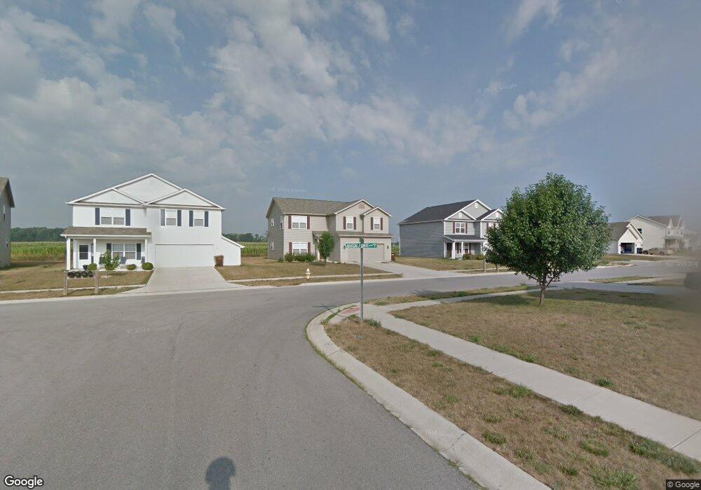
9128 Ashton Pointe Blvd Fort Wayne, IN 46819
Southwest Fort Wayne NeighborhoodEstimated Value: $249,000 - $280,499
4
Beds
3
Baths
2,240
Sq Ft
$119/Sq Ft
Est. Value
About This Home
This home is located at 9128 Ashton Pointe Blvd, Fort Wayne, IN 46819 and is currently estimated at $265,625, approximately $118 per square foot. 9128 Ashton Pointe Blvd is a home located in Allen County with nearby schools including Waynedale Elementary School, Miami Middle School, and Wayne High School.
Ownership History
Date
Name
Owned For
Owner Type
Purchase Details
Closed on
Jun 14, 2007
Sold by
Westport Homes Of Ft Wayne Inc
Bought by
Harris Madison and Harris Angela M
Current Estimated Value
Home Financials for this Owner
Home Financials are based on the most recent Mortgage that was taken out on this home.
Original Mortgage
$133,714
Outstanding Balance
$81,863
Interest Rate
6.2%
Mortgage Type
VA
Estimated Equity
$183,762
Create a Home Valuation Report for This Property
The Home Valuation Report is an in-depth analysis detailing your home's value as well as a comparison with similar homes in the area
Home Values in the Area
Average Home Value in this Area
Purchase History
| Date | Buyer | Sale Price | Title Company |
|---|---|---|---|
| Harris Madison | -- | Lawyers Title |
Source: Public Records
Mortgage History
| Date | Status | Borrower | Loan Amount |
|---|---|---|---|
| Open | Harris Madison | $133,714 |
Source: Public Records
Tax History Compared to Growth
Tax History
| Year | Tax Paid | Tax Assessment Tax Assessment Total Assessment is a certain percentage of the fair market value that is determined by local assessors to be the total taxable value of land and additions on the property. | Land | Improvement |
|---|---|---|---|---|
| 2024 | $1,929 | $250,400 | $41,600 | $208,800 |
| 2022 | $1,123 | $162,700 | $14,300 | $148,400 |
| 2021 | $1,048 | $151,700 | $14,300 | $137,400 |
| 2020 | $1,079 | $148,700 | $14,300 | $134,400 |
| 2019 | $1,085 | $147,900 | $14,300 | $133,600 |
| 2018 | $907 | $130,600 | $14,300 | $116,300 |
| 2017 | $607 | $102,700 | $14,300 | $88,400 |
| 2016 | $567 | $99,200 | $14,300 | $84,900 |
| 2014 | $685 | $109,500 | $14,300 | $95,200 |
| 2013 | $865 | $125,500 | $14,300 | $111,200 |
Source: Public Records
Map
Nearby Homes
- 9020 Ashton Pointe Blvd
- 9014 Hemphill Dr
- 9126 Redfield Dr
- 924 Winchester Ln
- 622 Wyss Ridge Dr
- 8608 Winchester Rd
- 9032 Muldoon Rd
- 1627 Saint Louis Ave
- 1711 Saint Louis Ave
- 97?? Bluffton Rd
- Lot 5 Majic Port Ln
- Lot 4 Majic Port Ln
- Lot 3 Majic Port Ln
- Lot 2 Majic Port Ln
- Lot 1 Majic Port Ln
- 0 Majic Port Ln
- 7324 Springhill Dr
- 2702 Westward Dr
- 3015 Mcarthur Dr
- 130 E Hoover Dr
- 9202 Ashton Pointe Blvd
- 9116 Ashton Pointe Blvd
- 9206 Ashton Pointe Blvd
- 9209 Ashton Pointe Blvd
- 9129 Ashton Pointe Blvd
- 9210 Ashton Pointe Blvd
- 9117 Ashton Pointe Blvd
- 9026 Ashton Pointe Blvd
- 9105 Ashton Pointe Blvd
- 9031 Ashton Pointe Blvd
- 9134 Sunflower Cove
- 9025 Ashton Pointe Blvd
- 9126 Sunflower Cove
- 9014 Ashton Pointe Blvd
- 9114 Sunflower Cove
- 1029 Ginseng Ln
- 9019 Ashton Pointe Blvd
- 9102 Sunflower Cove
- 9008 Ashton Pointe Blvd
- 9030 Sunflower Cove