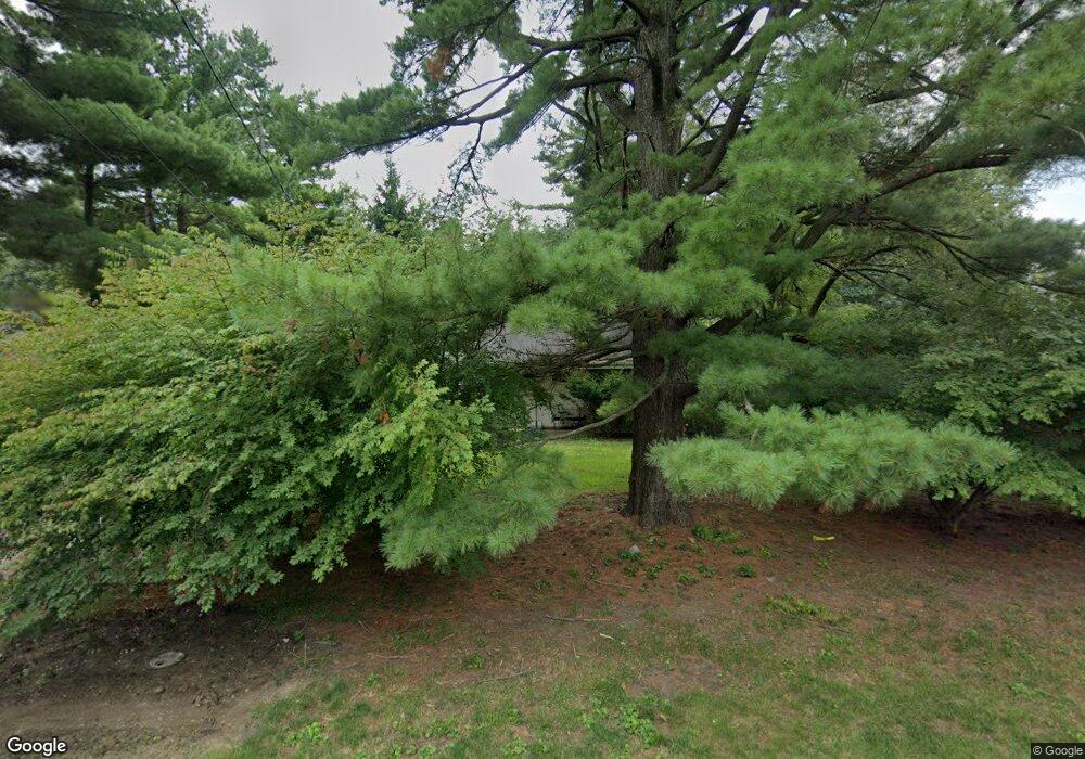
9128 N Picture Ridge Rd Peoria, IL 61615
North Peoria NeighborhoodEstimated Value: $95,000 - $235,000
2
Beds
1
Bath
1,124
Sq Ft
$132/Sq Ft
Est. Value
About This Home
This home is located at 9128 N Picture Ridge Rd, Peoria, IL 61615 and is currently estimated at $148,207, approximately $131 per square foot. 9128 N Picture Ridge Rd is a home located in Peoria County with nearby schools including Kellar Primary School, Liberty Leadership Middle School, and Richwoods High School.
Create a Home Valuation Report for This Property
The Home Valuation Report is an in-depth analysis detailing your home's value as well as a comparison with similar homes in the area
Home Values in the Area
Average Home Value in this Area
Tax History Compared to Growth
Tax History
| Year | Tax Paid | Tax Assessment Tax Assessment Total Assessment is a certain percentage of the fair market value that is determined by local assessors to be the total taxable value of land and additions on the property. | Land | Improvement |
|---|---|---|---|---|
| 2024 | $1,164 | $18,870 | $12,620 | $6,250 |
| 2023 | $3,606 | $44,330 | $11,580 | $32,750 |
| 2022 | $3,312 | $40,340 | $10,610 | $29,730 |
| 2021 | $3,222 | $38,410 | $10,100 | $28,310 |
| 2020 | $3,209 | $38,030 | $10,000 | $28,030 |
| 2019 | $3,268 | $38,800 | $10,200 | $28,600 |
| 2018 | $3,293 | $39,810 | $10,300 | $29,510 |
| 2017 | $3,298 | $40,210 | $10,400 | $29,810 |
| 2016 | $3,196 | $40,210 | $10,400 | $29,810 |
| 2015 | $2,907 | $39,430 | $10,200 | $29,230 |
| 2014 | $2,914 | $37,580 | $9,680 | $27,900 |
| 2013 | -- | $38,040 | $9,800 | $28,240 |
Source: Public Records
Map
Nearby Homes
- 9310 N Frye Rd
- 414 W Timber Ridge Dr
- 420 W Ravinwoods Rd
- 416 W Ravinwoods Rd
- 634 W Mount Hawley Terrace
- 622 W Ravinwoods Rd
- 408 W Ravinwoods Rd
- 611 W Forest Lawn Ave
- 319 W Ravinwoods Rd
- 230 W Detweiller Dr
- 916 E Fairview St
- 10019 N Spring Ln
- 936 W Trailcreek Dr Unit 936
- 7615 Walnut Bend Dr Unit 30
- 1415 E Hendryx Ln
- 7604 N Patton Ln Unit 4
- 7606 Walnut Bend Dr
- Lot 59, 62, 67 E Dean St
- 9716 N Broadway St
- 202 W Wolf Rd
- 9136 N Picture Ridge Rd
- 9122 N Picture Ridge Rd
- 9140 N Picture Ridge Rd
- 9104 N Picture Ridge Rd
- 9145 N Picture Ridge Rd
- 9146 N Picture Ridge Rd
- 9146 N Picture Ridge Rd
- 9131 N Picture Ridge Rd
- 9125 N Picture Ridge Rd
- 9109 N Picture Ridge Rd
- 9119 N Picture Ridge Rd
- 9043 N Picture Ridge Rd
- 9152 N Picture Ridge Rd
- 9115 N Picture Ridge Rd
- 9153 N Picture Ridge Rd
- 9162 N Picture Ridge Rd
- 9039 N Picture Ridge Rd
- 9038 N Picture Ridge Rd
- 9174 N Picture Ridge Rd
- 9033 N Picture Ridge Rd
