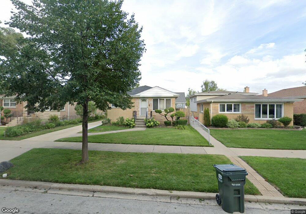
9129 Sayre Ave Morton Grove, IL 60053
Estimated Value: $433,000 - $460,000
3
Beds
2
Baths
1,466
Sq Ft
$308/Sq Ft
Est. Value
About This Home
This home is located at 9129 Sayre Ave, Morton Grove, IL 60053 and is currently estimated at $451,229, approximately $307 per square foot. 9129 Sayre Ave is a home located in Cook County with nearby schools including Hynes Elementary School, Golf Middle School, and Niles North High School.
Ownership History
Date
Name
Owned For
Owner Type
Purchase Details
Closed on
Nov 2, 2022
Sold by
Albany Bank & Trust Company Na
Bought by
Koularmanis John and Koularmanis Stella
Current Estimated Value
Purchase Details
Closed on
Feb 13, 2003
Sold by
Koularmanis John and Koularmanis Stella
Bought by
Community Savings Bank and Trust #Lt-1782
Purchase Details
Closed on
Jun 15, 1999
Sold by
Community Svgs Bank
Bought by
Koularmanis John and Koularmanis Stella
Create a Home Valuation Report for This Property
The Home Valuation Report is an in-depth analysis detailing your home's value as well as a comparison with similar homes in the area
Home Values in the Area
Average Home Value in this Area
Purchase History
| Date | Buyer | Sale Price | Title Company |
|---|---|---|---|
| Koularmanis John | -- | None Listed On Document | |
| Community Savings Bank | -- | -- | |
| Koularmanis John | -- | -- |
Source: Public Records
Tax History Compared to Growth
Tax History
| Year | Tax Paid | Tax Assessment Tax Assessment Total Assessment is a certain percentage of the fair market value that is determined by local assessors to be the total taxable value of land and additions on the property. | Land | Improvement |
|---|---|---|---|---|
| 2024 | $6,906 | $31,356 | $10,509 | $20,847 |
| 2023 | $6,549 | $31,356 | $10,509 | $20,847 |
| 2022 | $6,549 | $31,356 | $10,509 | $20,847 |
| 2021 | $5,543 | $24,713 | $6,467 | $18,246 |
| 2020 | $5,563 | $24,713 | $6,467 | $18,246 |
| 2019 | $5,642 | $27,768 | $6,467 | $21,301 |
| 2018 | $5,202 | $24,068 | $5,860 | $18,208 |
| 2017 | $5,749 | $25,768 | $5,860 | $19,908 |
| 2016 | $6,783 | $28,847 | $5,860 | $22,987 |
| 2015 | $5,871 | $23,890 | $5,052 | $18,838 |
| 2014 | $5,786 | $23,890 | $5,052 | $18,838 |
| 2013 | $5,656 | $23,890 | $5,052 | $18,838 |
Source: Public Records
Map
Nearby Homes
- 7014 Church St
- 6727 Beckwith Rd
- 6909 Beckwith Rd
- 9244 Newcastle Ave
- 8927 Belleforte Ave
- 6712 Maple St
- 9421 Sayre Ave
- 7207 Church St
- 7215 Beckwith Rd
- 6638 Hazel St
- 7215 Lyons St
- 8929 Cherry Ave
- 7030 Foster St
- 7302 Ponto Dr
- 7303 Ponto Dr
- 9400 Octavia Ave
- 7343 Lake St
- 8661 N National Ave
- 8620 Waukegan Rd Unit 308
- 6619 Palma Ln
- 9121 Sayre Ave
- 9133 Sayre Ave
- 9119 Sayre Ave
- 6947 Church St
- 6947 Church St
- 6939 Church St
- 6939 Church St
- 6951 Church St
- 6951 Church St
- 9136 Waukegan Rd
- 9136 Waukegan Rd Unit B
- 9138 Waukegan Rd
- 9134 Sayre Ave
- 9130 Sayre Ave
- 9138 Sayre Ave
- 9126 Sayre Ave
- 7001 Church St
- 7001 Church St
- 9144 Waukegan Rd
- 7007 Church St