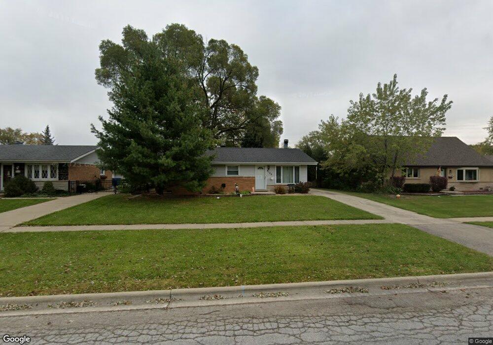
9129 Willow Ln Bridgeview, IL 60455
Little Palestine NeighborhoodEstimated Value: $291,816 - $315,000
3
Beds
2
Baths
1,197
Sq Ft
$251/Sq Ft
Est. Value
About This Home
This home is located at 9129 Willow Ln, Bridgeview, IL 60455 and is currently estimated at $299,954, approximately $250 per square foot. 9129 Willow Ln is a home located in Cook County with nearby schools including George W Lieb Elementary School, Simmons Middle School, and Oak Lawn Community High School.
Ownership History
Date
Name
Owned For
Owner Type
Purchase Details
Closed on
Feb 28, 1997
Sold by
Brauer Werner and Brauer Marie
Bought by
Durham Diana E and Sleboda Robert A
Current Estimated Value
Home Financials for this Owner
Home Financials are based on the most recent Mortgage that was taken out on this home.
Original Mortgage
$108,400
Outstanding Balance
$10,532
Interest Rate
7.93%
Estimated Equity
$289,422
Purchase Details
Closed on
Oct 4, 1995
Sold by
Kilinskis Bruce M and Kilinskis Karen B
Bought by
Brauer Werner and Brauer Marie
Create a Home Valuation Report for This Property
The Home Valuation Report is an in-depth analysis detailing your home's value as well as a comparison with similar homes in the area
Home Values in the Area
Average Home Value in this Area
Purchase History
| Date | Buyer | Sale Price | Title Company |
|---|---|---|---|
| Durham Diana E | $120,500 | -- | |
| Brauer Werner | $130,000 | -- |
Source: Public Records
Mortgage History
| Date | Status | Borrower | Loan Amount |
|---|---|---|---|
| Open | Durham Diana E | $108,400 |
Source: Public Records
Tax History
| Year | Tax Paid | Tax Assessment Tax Assessment Total Assessment is a certain percentage of the fair market value that is determined by local assessors to be the total taxable value of land and additions on the property. | Land | Improvement |
|---|---|---|---|---|
| 2025 | $6,308 | $22,000 | $4,111 | $17,889 |
| 2024 | $6,308 | $22,000 | $4,111 | $17,889 |
| 2023 | $5,217 | $22,000 | $4,111 | $17,889 |
| 2022 | $5,217 | $16,494 | $3,575 | $12,919 |
| 2021 | $5,107 | $16,494 | $3,575 | $12,919 |
| 2020 | $5,090 | $16,494 | $3,575 | $12,919 |
| 2019 | $5,142 | $16,907 | $3,217 | $13,690 |
| 2018 | $4,911 | $16,907 | $3,217 | $13,690 |
| 2017 | $4,898 | $16,907 | $3,217 | $13,690 |
| 2016 | $4,430 | $14,026 | $2,681 | $11,345 |
| 2015 | $4,180 | $14,026 | $2,681 | $11,345 |
| 2014 | $4,084 | $14,026 | $2,681 | $11,345 |
| 2013 | $4,300 | $16,034 | $2,681 | $13,353 |
Source: Public Records
Map
Nearby Homes
- 6932 W 91st St
- 6906 W 91st St
- 9236 Pembroke Ln
- 7117 W 93rd St Unit 306
- 6705 W 91st Place
- 8912 Windsor Ln
- 7100 W 95th St Unit 111
- 8808 Cranbrook Ln
- 6934 W 96th St
- 8200 Normandy Ave
- 6896 W 87th St Unit 3W
- 9170 Crescent Ct
- 9109 Crescent Ct
- 9154 Ridgeland Ave
- 8602 Oak Park Ave
- 6800 W 97th St
- 9606 Natoma Ave
- 9645 S Harlem Ave Unit 1H
- 9708 Nottingham Ave Unit 11
- 9708 Nottingham Ave Unit 9
- 9121 Willow Ln
- 9137 Willow Ln
- 9136 Homestead Ln
- 9120 Homestead Ln
- 9113 Willow Ln
- 9143 Willow Ln
- 7023 Birch St
- 9112 Homestead Ln
- 9142 Homestead Ln
- 9107 Willow Ln
- 9149 Willow Ln
- 7020 Oxford St
- 7020 Birch St
- 9148 Homestead Ln
- 9106 Homestead Ln
- 7031 Birch St
- 9155 Willow Ln
- 7028 Oxford St
- 7028 Birch St
- 9101 Willow Ln
Your Personal Tour Guide
Ask me questions while you tour the home.