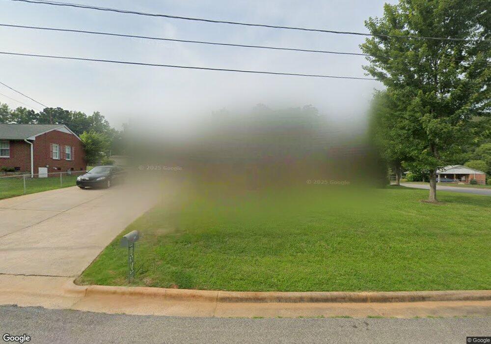
913 Brookwood Dr Kings Mountain, NC 28086
Estimated Value: $195,237 - $246,000
--
Bed
--
Bath
1,248
Sq Ft
$180/Sq Ft
Est. Value
About This Home
This home is located at 913 Brookwood Dr, Kings Mountain, NC 28086 and is currently estimated at $224,559, approximately $179 per square foot. 913 Brookwood Dr is a home located in Cleveland County with nearby schools including East Elementary School, Kings Mountain Middle, and Kings Mountain Intermediate School.
Ownership History
Date
Name
Owned For
Owner Type
Purchase Details
Closed on
Sep 3, 2009
Sold by
Cox Tony S and Cox Angela Early
Bought by
Griffin Sharon H
Current Estimated Value
Purchase Details
Closed on
Jul 31, 2006
Sold by
Gsellman Kenneth Lorenz and Gsellman Wanda Harding
Bought by
Cox Tony Shavne and Cox Angela Early
Home Financials for this Owner
Home Financials are based on the most recent Mortgage that was taken out on this home.
Original Mortgage
$92,600
Interest Rate
6.74%
Mortgage Type
New Conventional
Create a Home Valuation Report for This Property
The Home Valuation Report is an in-depth analysis detailing your home's value as well as a comparison with similar homes in the area
Home Values in the Area
Average Home Value in this Area
Purchase History
| Date | Buyer | Sale Price | Title Company |
|---|---|---|---|
| Griffin Sharon H | $60,000 | None Available | |
| Cox Tony Shavne | $93,000 | None Available |
Source: Public Records
Mortgage History
| Date | Status | Borrower | Loan Amount |
|---|---|---|---|
| Previous Owner | Cox Tony Shavne | $92,600 |
Source: Public Records
Tax History Compared to Growth
Tax History
| Year | Tax Paid | Tax Assessment Tax Assessment Total Assessment is a certain percentage of the fair market value that is determined by local assessors to be the total taxable value of land and additions on the property. | Land | Improvement |
|---|---|---|---|---|
| 2025 | $901 | $174,743 | $23,571 | $151,172 |
| 2024 | $1,405 | $118,233 | $21,999 | $96,234 |
| 2023 | $1,397 | $118,233 | $21,999 | $96,234 |
| 2022 | $1,340 | $118,233 | $21,999 | $96,234 |
| 2021 | $1,346 | $118,233 | $21,999 | $96,234 |
| 2020 | $1,091 | $92,976 | $21,999 | $70,977 |
| 2019 | $1,091 | $92,976 | $21,999 | $70,977 |
| 2018 | $1,090 | $92,976 | $21,999 | $70,977 |
| 2017 | $1,085 | $92,976 | $21,999 | $70,977 |
| 2016 | $1,088 | $92,976 | $21,999 | $70,977 |
| 2015 | $996 | $87,292 | $18,333 | $68,959 |
| 2014 | $996 | $87,292 | $18,333 | $68,959 |
Source: Public Records
Map
Nearby Homes
- 915 Brookwood Dr
- 519 Fallingwood Dr
- 516 Fallingwood Dr
- 916 Brookwood Dr
- 518 Fallingwood Dr
- 521 Fallingwood Dr
- 520 Rhodes Ave Unit 25
- 914 Brookwood Dr
- 518 Rhodes Ave
- 1000 Brookwood Dr
- 1003 Brookwood Dr
- 1002 Brookwood Dr
- 904 Woodside Dr
- 902 Woodside Dr
- 910 Woodside Dr
- 1005 Brookwood Dr
- 516 Rhodes Ave
- 806 Woodside Dr
- 912 Woodside Dr
- 1004 Brookwood Dr