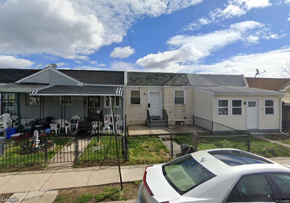
913 Burnside Rd Sharon Hill, PA 19079
Estimated Value: $104,000 - $117,000
2
Beds
1
Bath
655
Sq Ft
$168/Sq Ft
Est. Value
About This Home
This home is located at 913 Burnside Rd, Sharon Hill, PA 19079 and is currently estimated at $110,343, approximately $168 per square foot. 913 Burnside Rd is a home located in Delaware County with nearby schools including Darby Township School, Academy Park High School, and Liberty Baptist Academy.
Ownership History
Date
Name
Owned For
Owner Type
Purchase Details
Closed on
Nov 13, 1998
Sold by
Watson Madison and Watson Dennis Eva
Bought by
Frymaire Russell R
Current Estimated Value
Home Financials for this Owner
Home Financials are based on the most recent Mortgage that was taken out on this home.
Original Mortgage
$20,000
Outstanding Balance
$4,327
Interest Rate
6.49%
Estimated Equity
$106,016
Purchase Details
Closed on
Sep 24, 1998
Sold by
Va
Bought by
Watson Madison and Watson Eva E
Home Financials for this Owner
Home Financials are based on the most recent Mortgage that was taken out on this home.
Original Mortgage
$20,000
Outstanding Balance
$4,327
Interest Rate
6.49%
Estimated Equity
$106,016
Create a Home Valuation Report for This Property
The Home Valuation Report is an in-depth analysis detailing your home's value as well as a comparison with similar homes in the area
Home Values in the Area
Average Home Value in this Area
Purchase History
| Date | Buyer | Sale Price | Title Company |
|---|---|---|---|
| Frymaire Russell R | $16,300 | -- | |
| Watson Madison | $6,500 | -- |
Source: Public Records
Mortgage History
| Date | Status | Borrower | Loan Amount |
|---|---|---|---|
| Open | Frymaire Russell R | $20,000 |
Source: Public Records
Tax History Compared to Growth
Tax History
| Year | Tax Paid | Tax Assessment Tax Assessment Total Assessment is a certain percentage of the fair market value that is determined by local assessors to be the total taxable value of land and additions on the property. | Land | Improvement |
|---|---|---|---|---|
| 2025 | $2,511 | $56,650 | $15,970 | $40,680 |
| 2024 | $2,511 | $56,650 | $15,970 | $40,680 |
| 2023 | $1,941 | $56,650 | $15,970 | $40,680 |
| 2022 | $2,399 | $56,650 | $15,970 | $40,680 |
| 2021 | $3,285 | $56,650 | $15,970 | $40,680 |
| 2020 | $1,900 | $29,680 | $12,100 | $17,580 |
| 2019 | $1,810 | $29,680 | $12,100 | $17,580 |
| 2018 | $1,769 | $29,680 | $0 | $0 |
| 2017 | $1,707 | $29,680 | $0 | $0 |
| 2016 | $163 | $29,680 | $0 | $0 |
| 2015 | $166 | $29,680 | $0 | $0 |
| 2014 | $166 | $29,680 | $0 | $0 |
Source: Public Records
Map
Nearby Homes
- 1009 Laurel Rd
- 1001 Burnside Rd
- 930 Pine Rd
- 613 Sharon Ave
- 1044 Jackson Ave
- 1000 Elmwood Ave
- 441 Sharon Ave
- 921 Woodland Ave
- 732 Bonsall Ave
- 765 Academy Terrace
- 328 Clifton Ave
- 1519 Forrester Ave
- 1550 Hermesprota Dr
- 1513 Roosevelt Dr
- 711 Poplar St
- 943 Coates St
- 217 Foster Ave
- 1118 Tribbett Ave
- 1526 Clifton Ave
- 435 Willows Ave
- 915 Burnside Rd
- 911 Burnside Rd
- 909 Burnside Rd
- 917 Burnside Rd
- 907 Burnside Rd
- 919 Burnside Rd
- 912 Barker Rd
- 905 Burnside Rd
- 910 Barker Rd
- 921 Burnside Rd
- 914 Barker Rd
- 908 Barker Rd
- 916 Barker Rd
- 918 Barker Rd
- 906 Barker Rd
- 903 Burnside Rd
- 923 Burnside Rd
- 920 Barker Rd
- 904 Barker Rd
- 925 Burnside Rd