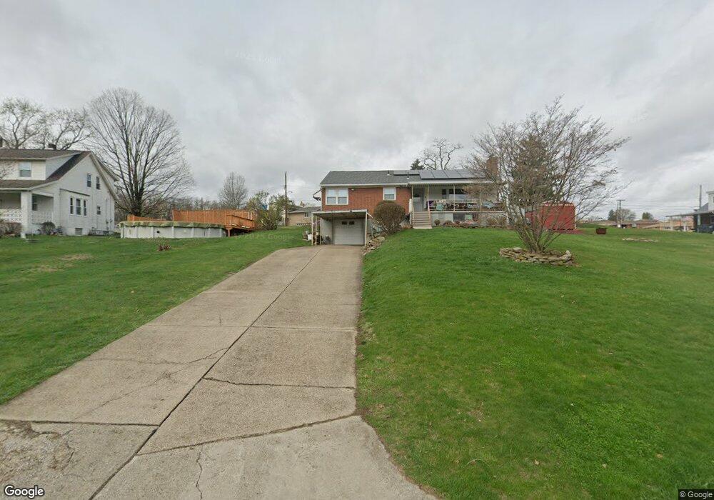
913 Haines Dr Mc Kees Rocks, PA 15136
Kennedy Township NeighborhoodEstimated Value: $237,000 - $290,000
3
Beds
2
Baths
1,261
Sq Ft
$214/Sq Ft
Est. Value
About This Home
This home is located at 913 Haines Dr, Mc Kees Rocks, PA 15136 and is currently estimated at $269,670, approximately $213 per square foot. 913 Haines Dr is a home located in Allegheny County with nearby schools including David E. Williams Middle School, Montour Elementary School, and Montour High School.
Ownership History
Date
Name
Owned For
Owner Type
Purchase Details
Closed on
Dec 1, 2010
Sold by
Korbak Michael
Bought by
Patton Ryan
Current Estimated Value
Home Financials for this Owner
Home Financials are based on the most recent Mortgage that was taken out on this home.
Original Mortgage
$124,700
Outstanding Balance
$82,429
Interest Rate
4.23%
Mortgage Type
FHA
Estimated Equity
$187,241
Create a Home Valuation Report for This Property
The Home Valuation Report is an in-depth analysis detailing your home's value as well as a comparison with similar homes in the area
Home Values in the Area
Average Home Value in this Area
Purchase History
| Date | Buyer | Sale Price | Title Company |
|---|---|---|---|
| Patton Ryan | $128,000 | -- |
Source: Public Records
Mortgage History
| Date | Status | Borrower | Loan Amount |
|---|---|---|---|
| Open | Patton Ryan | $124,700 |
Source: Public Records
Tax History Compared to Growth
Tax History
| Year | Tax Paid | Tax Assessment Tax Assessment Total Assessment is a certain percentage of the fair market value that is determined by local assessors to be the total taxable value of land and additions on the property. | Land | Improvement |
|---|---|---|---|---|
| 2025 | $2,867 | $113,800 | $35,300 | $78,500 |
| 2024 | $2,867 | $113,800 | $35,300 | $78,500 |
| 2023 | $2,850 | $113,800 | $35,300 | $78,500 |
| 2022 | $2,850 | $113,800 | $35,300 | $78,500 |
| 2021 | $2,850 | $113,800 | $35,300 | $78,500 |
| 2020 | $2,850 | $113,800 | $35,300 | $78,500 |
| 2019 | $2,839 | $113,800 | $35,300 | $78,500 |
| 2018 | $538 | $113,800 | $35,300 | $78,500 |
| 2017 | $2,810 | $113,800 | $35,300 | $78,500 |
| 2016 | $538 | $113,800 | $35,300 | $78,500 |
| 2015 | $538 | $113,800 | $35,300 | $78,500 |
| 2014 | $2,689 | $113,800 | $35,300 | $78,500 |
Source: Public Records
Map
Nearby Homes
- 86 Thorncrest Dr
- 104 Thorncrest Dr
- 214 Barbara Dr
- 8 Court Place
- 543 Elizabeth Ave
- 1408 Broadway Ave
- 1406 Broadway Ave
- 155 Roosevelt Ave
- 1212 Woodward Ave
- 1131 13th St
- 1140 12th St
- 270 Wheeler Ave
- 809 11th St
- 932 Ridge Ave
- 802 10th St
- 1017 Mccoy Rd
- 810 10th St
- 124 Pleasant Ridge Rd
- 813 10th St
- 815 10th St
- 154 Haines Dr
- 911 Mccoy Rd
- 915 Mccoy Rd
- 907 Mccoy Rd
- 920 Al Smith Dr
- 909 Mccoy Rd
- 919 Mccoy Rd
- 0 Rock Dr Unit S5065110
- 0 Rock Dr Unit S4693278
- 0 Rock Dr Unit S4696905
- 0 Rock Dr Unit S4697181
- 0 Rock Dr Unit S4698701
- 0 Rock Dr Unit S4710235
- 0 Rock Dr Unit S4716041
- 922 Al Smith Dr
- 917 Haines Dr
- 921 Mccoy Rd
- 900 lot 3 Mccoy Rd
- 900 lot 2 Mccoy Rd
- 00 Mccoy Rd