Estimated Value: $133,504 - $181,000
3
Beds
--
Bath
1,304
Sq Ft
$117/Sq Ft
Est. Value
About This Home
This home is located at 913 Lathrop Ave, Ava, MO 65608 and is currently estimated at $153,126, approximately $117 per square foot. 913 Lathrop Ave is a home with nearby schools including Ava Elementary School, Ava Middle School, and Ava High School.
Ownership History
Date
Name
Owned For
Owner Type
Purchase Details
Closed on
May 30, 2023
Sold by
Hart Misty
Bought by
Hart Misty
Current Estimated Value
Purchase Details
Closed on
Sep 16, 2021
Sold by
Null Jared and Null Niki
Bought by
Hart Misty and Hart Ever Timothy
Home Financials for this Owner
Home Financials are based on the most recent Mortgage that was taken out on this home.
Original Mortgage
$100,400
Interest Rate
2.7%
Mortgage Type
New Conventional
Purchase Details
Closed on
Feb 7, 2019
Sold by
Hart Niki and Hart Susie
Bought by
Null Niki and Null Jared
Purchase Details
Closed on
Nov 17, 2017
Sold by
Davis Jeffory V and Davis Gwen
Bought by
Dale Davis and Dale L
Purchase Details
Closed on
Nov 7, 2015
Sold by
Sherrod Dannie and Marvel Kery
Bought by
Chaffey William M
Purchase Details
Closed on
Oct 6, 2008
Sold by
Leighter Gordon R
Bought by
Leighter Gordon R and Revocable Tr Agreement Of Bille K Leight
Create a Home Valuation Report for This Property
The Home Valuation Report is an in-depth analysis detailing your home's value as well as a comparison with similar homes in the area
Home Values in the Area
Average Home Value in this Area
Purchase History
| Date | Buyer | Sale Price | Title Company |
|---|---|---|---|
| Hart Misty | -- | None Listed On Document | |
| Hart Misty | -- | None Listed On Document | |
| Null Niki | -- | None Available | |
| Dale Davis | -- | None Available | |
| Chaffey William M | -- | None Available | |
| Leighter Gordon R | -- | None Available |
Source: Public Records
Mortgage History
| Date | Status | Borrower | Loan Amount |
|---|---|---|---|
| Previous Owner | Hart Misty | $100,400 |
Source: Public Records
Tax History
| Year | Tax Paid | Tax Assessment Tax Assessment Total Assessment is a certain percentage of the fair market value that is determined by local assessors to be the total taxable value of land and additions on the property. | Land | Improvement |
|---|---|---|---|---|
| 2025 | $352 | $11,160 | $820 | $10,340 |
| 2024 | $4 | $10,180 | $700 | $9,480 |
| 2023 | $351 | $10,180 | $700 | $9,480 |
| 2022 | $321 | $9,330 | $700 | $8,630 |
| 2021 | $295 | $9,330 | $700 | $8,630 |
| 2020 | $295 | $8,450 | $700 | $7,750 |
| 2019 | $296 | $8,450 | $700 | $7,750 |
| 2018 | $295 | $8,450 | $700 | $7,750 |
| 2017 | $295 | $8,450 | $700 | $7,750 |
| 2016 | $277 | $7,880 | $640 | $7,240 |
| 2012 | -- | $7,880 | $0 | $0 |
Source: Public Records
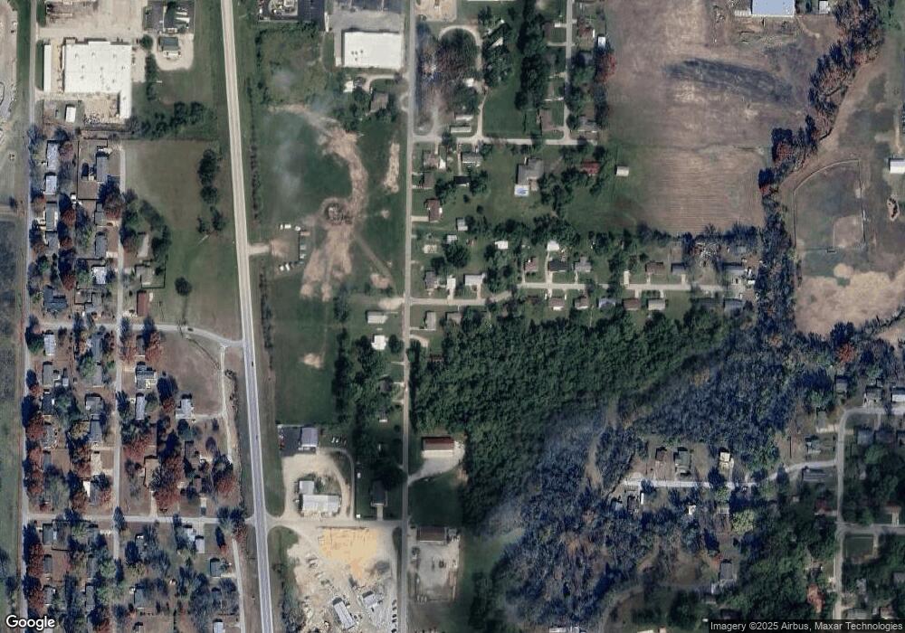
Map
Nearby Homes
- 806 Lathrop Ave
- 912 Posey St
- 35923 Missouri 14
- 34771 Missouri 14
- 000 Route Af
- 000 State Highway 76
- 15839 State Highway 76
- 502 Bunch Ave
- 205 N Fleetwood St
- 20093 State Highway 76
- 504 W Washington Ave
- 201 W Pennington Ave
- 000 N Jefferson St
- 000 Industrial Rd
- 15576 State Highway 76
- Tbd Brian
- 504 Brian
- 000 Brian Ave
- 208 E Ava Ave
- 506 Hill Ave
Your Personal Tour Guide
Ask me questions while you tour the home.