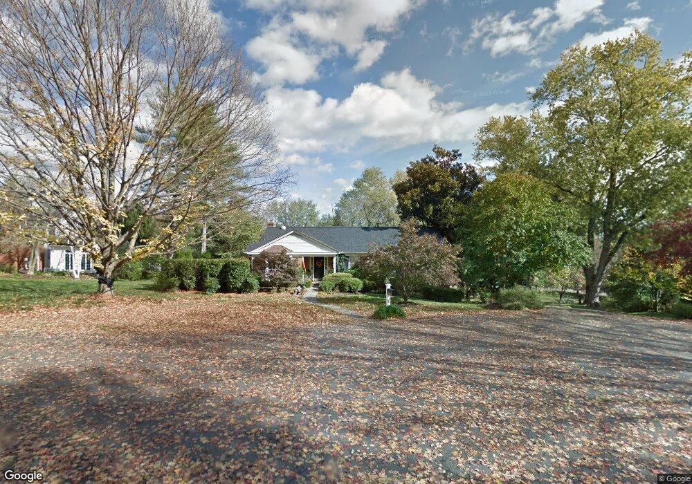
913 Rail Ct McLean, VA 22102
Greenway Heights NeighborhoodEstimated Value: $1,441,579 - $1,900,000
3
Beds
3
Baths
1,764
Sq Ft
$945/Sq Ft
Est. Value
About This Home
This home is located at 913 Rail Ct, McLean, VA 22102 and is currently estimated at $1,666,145, approximately $944 per square foot. 913 Rail Ct is a home located in Fairfax County with nearby schools including Spring Hill Elementary School, Cooper Middle School, and Langley High School.
Ownership History
Date
Name
Owned For
Owner Type
Purchase Details
Closed on
Aug 21, 1998
Sold by
Kreklau Robert J
Bought by
Lucas Matthew T
Current Estimated Value
Home Financials for this Owner
Home Financials are based on the most recent Mortgage that was taken out on this home.
Original Mortgage
$227,000
Outstanding Balance
$47,109
Interest Rate
6.86%
Mortgage Type
Purchase Money Mortgage
Estimated Equity
$1,619,036
Create a Home Valuation Report for This Property
The Home Valuation Report is an in-depth analysis detailing your home's value as well as a comparison with similar homes in the area
Home Values in the Area
Average Home Value in this Area
Purchase History
| Date | Buyer | Sale Price | Title Company |
|---|---|---|---|
| Lucas Matthew T | $375,000 | -- |
Source: Public Records
Mortgage History
| Date | Status | Borrower | Loan Amount |
|---|---|---|---|
| Open | Lucas Matthew T | $227,000 |
Source: Public Records
Tax History
| Year | Tax Paid | Tax Assessment Tax Assessment Total Assessment is a certain percentage of the fair market value that is determined by local assessors to be the total taxable value of land and additions on the property. | Land | Improvement |
|---|---|---|---|---|
| 2025 | $15,876 | $1,462,260 | $826,000 | $636,260 |
| 2024 | $15,876 | $1,343,700 | $756,000 | $587,700 |
| 2023 | $14,375 | $1,248,330 | $686,000 | $562,330 |
| 2022 | $13,901 | $1,191,670 | $676,000 | $515,670 |
| 2021 | $13,027 | $1,088,770 | $624,000 | $464,770 |
| 2020 | $12,755 | $1,057,230 | $606,000 | $451,230 |
| 2019 | $12,502 | $1,036,260 | $606,000 | $430,260 |
| 2018 | $10,652 | $926,300 | $566,000 | $360,300 |
| 2017 | $10,944 | $924,300 | $564,000 | $360,300 |
| 2016 | $10,197 | $863,040 | $537,000 | $326,040 |
Source: Public Records
Map
Nearby Homes
- 1002 Kimberwicke Rd
- 949 Bellview Rd
- 8111 Georgetown Pike
- 8340 Springhaven Garden Ln
- 8537 Old Dominion Dr
- 8355 Alvord St
- 8437 Sparger St
- 703 Potomac Knolls Dr
- 7818 Georgetown Pike
- 1013 Union Church Rd
- 1033 Union Church Rd
- 921 Towlston Rd
- 8634 Overlook Rd
- 1239 Daleview Dr
- 8757 Brook Rd
- 1109 Old Cedar Rd
- 1205 Towlston Rd
- 1207 Towlston Rd
- 1106 Mill Ridge
- 8011 Lewinsville Rd
- 911 Rail Ct
- 8301 Riding Ridge Place
- 915 Rail Ct
- 912 Kimberwicke Rd
- 912 Rail Ct
- 916 Rail Ct
- 914 Rail Ct
- 910 Rail Ct
- 8300 Riding Ridge Place
- 914 Kimberwicke Rd
- 8302 Riding Ridge Place
- 913 Saddleback Ct
- 911 Kimberwicke Rd
- 911 Saddleback Ct
- 8304 Riding Ridge Place
- 906 Kimberwicke Rd
- 929 Bellview Rd
- 905 Kimberwicke Rd
- 8229 Riding Ridge Place
- 914 Saddleback Ct
Your Personal Tour Guide
Ask me questions while you tour the home.