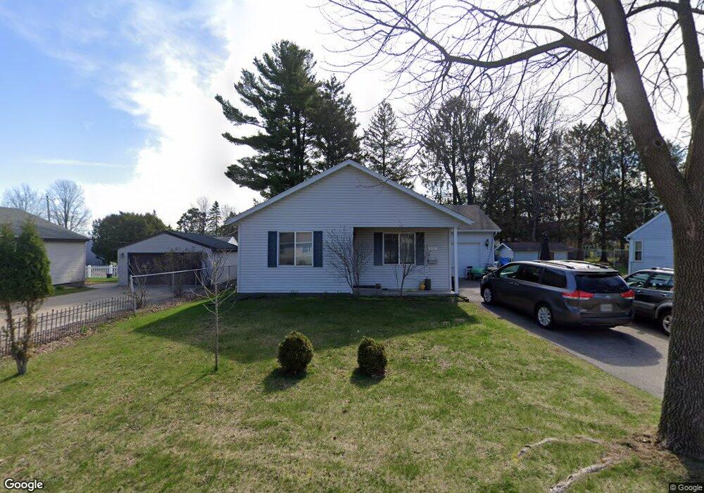
913 S 20th Ave Wausau, WI 54401
Southwest Jones NeighborhoodEstimated Value: $213,000 - $267,216
4
Beds
2
Baths
--
Sq Ft
9,235
Sq Ft Lot
About This Home
This home is located at 913 S 20th Ave, Wausau, WI 54401 and is currently estimated at $245,554. 913 S 20th Ave is a home located in Marathon County with nearby schools including G.D. Jones Elementary School, John Muir Middle School, and West High School.
Ownership History
Date
Name
Owned For
Owner Type
Purchase Details
Closed on
Aug 28, 2009
Sold by
Habitat For Humanity Of Wausau Inc
Bought by
Lor Shoua and Thao Chue
Current Estimated Value
Home Financials for this Owner
Home Financials are based on the most recent Mortgage that was taken out on this home.
Original Mortgage
$116,650
Outstanding Balance
$76,598
Interest Rate
5.27%
Mortgage Type
Seller Take Back
Estimated Equity
$168,956
Purchase Details
Closed on
Apr 6, 2009
Sold by
Lor Pao and Lor Houa Moua
Bought by
Habitat For Humanity Of Wausau Inc
Create a Home Valuation Report for This Property
The Home Valuation Report is an in-depth analysis detailing your home's value as well as a comparison with similar homes in the area
Home Values in the Area
Average Home Value in this Area
Purchase History
| Date | Buyer | Sale Price | Title Company |
|---|---|---|---|
| Lor Shoua | $116,900 | None Available | |
| Habitat For Humanity Of Wausau Inc | $19,500 | None Available |
Source: Public Records
Mortgage History
| Date | Status | Borrower | Loan Amount |
|---|---|---|---|
| Open | Lor Shoua | $116,650 |
Source: Public Records
Tax History Compared to Growth
Tax History
| Year | Tax Paid | Tax Assessment Tax Assessment Total Assessment is a certain percentage of the fair market value that is determined by local assessors to be the total taxable value of land and additions on the property. | Land | Improvement |
|---|---|---|---|---|
| 2024 | $4,308 | $237,100 | $25,000 | $212,100 |
| 2023 | $3,065 | $134,200 | $19,500 | $114,700 |
| 2022 | $3,099 | $134,200 | $19,500 | $114,700 |
| 2021 | $2,978 | $134,200 | $19,500 | $114,700 |
| 2020 | $3,120 | $134,200 | $19,500 | $114,700 |
| 2019 | $2,985 | $121,500 | $15,000 | $106,500 |
| 2018 | $3,152 | $121,500 | $15,000 | $106,500 |
| 2017 | $2,908 | $121,500 | $15,000 | $106,500 |
| 2016 | $2,817 | $121,500 | $15,000 | $106,500 |
| 2015 | $3,033 | $121,500 | $15,000 | $106,500 |
| 2014 | $3,078 | $129,400 | $19,500 | $109,900 |
Source: Public Records
Map
Nearby Homes
- 917 S 21st Place
- 2117 Sherman St
- 909 S 14th Ave
- 1438 Madison St
- 905 S 12th Ave
- 1708 Garfield Ave
- 819 S 12th Ave
- 1423 Lake St
- 1419 Lake St
- 1601 Chellis St Unit 1607,1611Chellis,142
- 913 S 8th Ave
- 409 S 12th Ave
- 915 S 6th Ave
- 640 S 6th Ave
- 1131 S 5th Ave
- 1126 S 4th Ave
- 2812 Hubbill Ave
- 213 N 17th Ave
- 702 S 1st Ave
- 318 S 5th Ave
- 909 S 20th Ave
- 915 S 20th Ave
- 924 S 19th Ave
- 926 S 19th Ave
- 914 S 19th Ave
- 928 S 19th Ave
- 905 S 20th Ave
- 912 S 20th Ave
- 914 S 20th Ave
- 1908 Rosecrans St
- 910 S 20th Ave
- 906 S 19th Ave
- 918 S 20th Ave
- 930 S 19th Ave
- 903 S 20th Ave
- 908 S 20th Ave
- 922 S 20th Ave
- 904 S 19th Ave
- 921 S 19th Ave
- 925 S 19th Ave