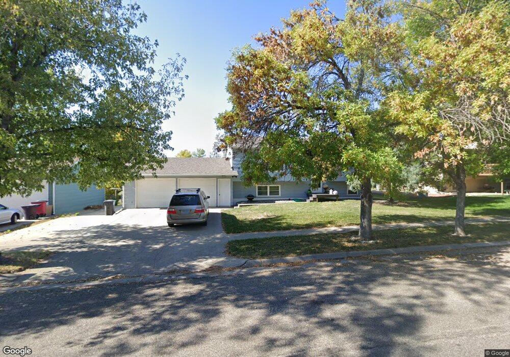
913 S Cleveland Ave Pierre, SD 57501
Estimated Value: $259,000 - $284,000
3
Beds
1
Bath
1,040
Sq Ft
$257/Sq Ft
Est. Value
About This Home
This home is located at 913 S Cleveland Ave, Pierre, SD 57501 and is currently estimated at $267,798, approximately $257 per square foot. 913 S Cleveland Ave is a home with nearby schools including T.F. Riggs High School and Pierre SDA School.
Ownership History
Date
Name
Owned For
Owner Type
Purchase Details
Closed on
Oct 30, 2009
Sold by
Coverdale Robert A and Coverdale Cheryl A
Bought by
Robinson Chad L and Robinson Kimberly J
Current Estimated Value
Home Financials for this Owner
Home Financials are based on the most recent Mortgage that was taken out on this home.
Original Mortgage
$124,135
Outstanding Balance
$80,889
Interest Rate
4.96%
Estimated Equity
$186,909
Create a Home Valuation Report for This Property
The Home Valuation Report is an in-depth analysis detailing your home's value as well as a comparison with similar homes in the area
Home Values in the Area
Average Home Value in this Area
Purchase History
| Date | Buyer | Sale Price | Title Company |
|---|---|---|---|
| Robinson Chad L | $144,000 | -- |
Source: Public Records
Mortgage History
| Date | Status | Borrower | Loan Amount |
|---|---|---|---|
| Open | Robinson Chad L | $124,135 | |
| Closed | Robinson Chad L | $6,000 |
Source: Public Records
Tax History Compared to Growth
Tax History
| Year | Tax Paid | Tax Assessment Tax Assessment Total Assessment is a certain percentage of the fair market value that is determined by local assessors to be the total taxable value of land and additions on the property. | Land | Improvement |
|---|---|---|---|---|
| 2025 | $2,668 | $221,582 | $21,785 | $199,797 |
| 2024 | $2,666 | $212,068 | $21,785 | $190,283 |
| 2023 | $2,397 | $206,489 | $20,847 | $185,642 |
| 2022 | $2,258 | $174,556 | $19,854 | $154,702 |
| 2021 | $2,213 | $155,854 | $17,727 | $138,127 |
| 2020 | $2,264 | $151,315 | $17,211 | $134,104 |
| 2019 | $2,260 | $151,315 | $17,211 | $134,104 |
| 2018 | $2,166 | $146,908 | $16,710 | $130,198 |
| 2017 | -- | $139,912 | $15,914 | $123,998 |
| 2016 | $2,265 | $139,912 | $15,914 | $123,998 |
| 2015 | -- | $135,836 | $15,450 | $120,386 |
| 2014 | -- | $131,880 | $15,000 | $116,880 |
| 2013 | -- | $131,880 | $15,000 | $116,880 |
| 2011 | -- | $120,976 | $13,932 | $107,044 |
Source: Public Records
Map
Nearby Homes
- 2800 E Green St
- 2827 E Irwin St
- 519 S Lincoln Ave
- 320 S Lincoln Ave
- 504 S Filmore Ave
- 417 S Polk Ave
- 302 S Taylor Ave
- 4305 Sandwedge Dr
- 2009 E Capitol Ave
- 216 N Fir St
- 1300 E Park St
- 0 Tbd Unit 25-477
- 1515 E Capitol Ave
- 1227 E Dakota Ave
- 111 N Harrison Ave
- 203 N Tyler Ave
- 109 Baja Dr
- 1623 E Robinson Ave
- 306 N Tyler Ave
- 2106 Antelope St
- 915 S Cleveland Ave
- 909 S Cleveland Ave
- 912 Arthur Ave
- 910 Arthur Ave
- 911 S Mckinley Ave
- 908 Arthur Ave
- 907 S Cleveland Ave
- 914 S Cleveland Ave
- 917 S Cleveland Ave
- 908 S Cleveland Ave
- 916 S Cleveland Ave
- 913 S Mckinley Ave
- 2705 E Sully Ave
- 915 S Mckinley Ave
- 2701 E Sully Ave
- 916 Arthur Ave
- 914 Arthur Ave
- 909 S Arthur St
- 2801 E Sully Ave
- 913 Arthur Ave