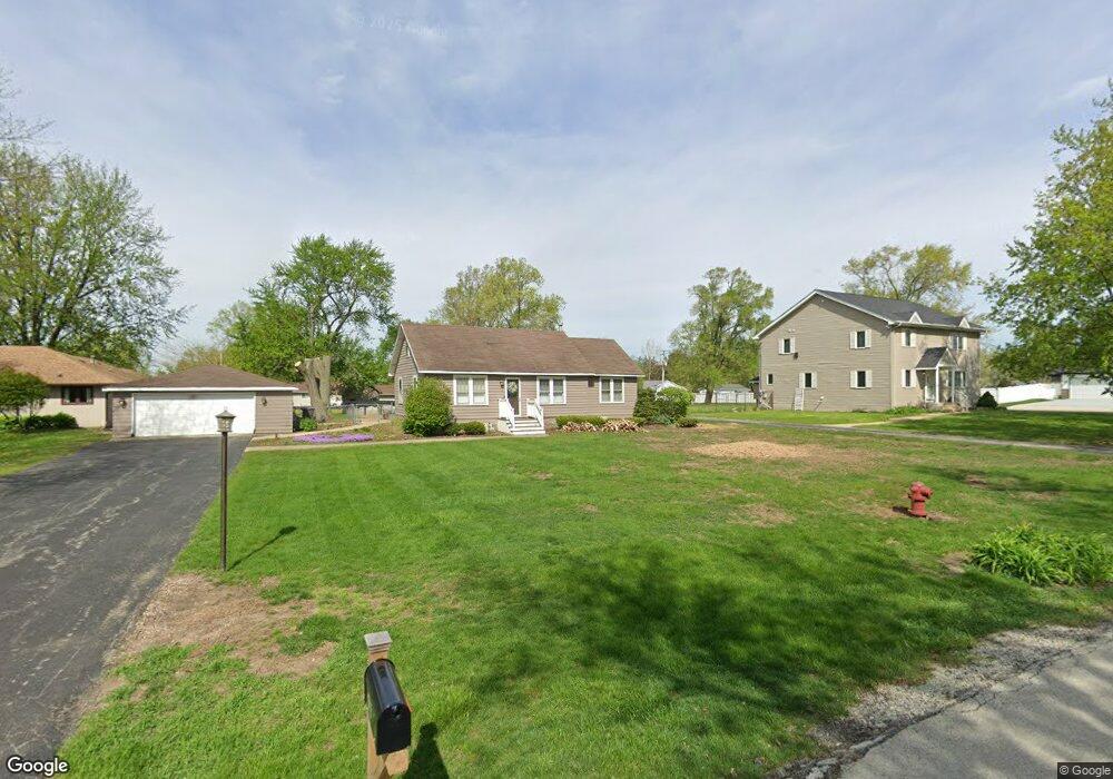
913 S Pine St New Lenox, IL 60451
Estimated Value: $287,017 - $348,000
--
Bed
--
Bath
--
Sq Ft
0.68
Acres
About This Home
This home is located at 913 S Pine St, New Lenox, IL 60451 and is currently estimated at $323,004. 913 S Pine St is a home located in Will County with nearby schools including Bentley Elementary School, Arnold J Tyler School, and Alex M Martino Jr High School.
Ownership History
Date
Name
Owned For
Owner Type
Purchase Details
Closed on
Jun 30, 1999
Sold by
Pearson Craig A and Pearson Vanessa A
Bought by
Dietz Lisa M
Current Estimated Value
Home Financials for this Owner
Home Financials are based on the most recent Mortgage that was taken out on this home.
Original Mortgage
$113,550
Outstanding Balance
$31,480
Interest Rate
7.43%
Estimated Equity
$291,524
Purchase Details
Closed on
Mar 26, 1999
Sold by
Nlsb
Bought by
Pearson Craig A and Pearson Vanessa A
Home Financials for this Owner
Home Financials are based on the most recent Mortgage that was taken out on this home.
Original Mortgage
$38,800
Interest Rate
7.1%
Mortgage Type
Credit Line Revolving
Create a Home Valuation Report for This Property
The Home Valuation Report is an in-depth analysis detailing your home's value as well as a comparison with similar homes in the area
Home Values in the Area
Average Home Value in this Area
Purchase History
| Date | Buyer | Sale Price | Title Company |
|---|---|---|---|
| Dietz Lisa M | $123,500 | -- | |
| Pearson Craig A | -- | -- |
Source: Public Records
Mortgage History
| Date | Status | Borrower | Loan Amount |
|---|---|---|---|
| Open | Dietz Lisa M | $113,550 | |
| Previous Owner | Pearson Craig A | $38,800 |
Source: Public Records
Tax History Compared to Growth
Tax History
| Year | Tax Paid | Tax Assessment Tax Assessment Total Assessment is a certain percentage of the fair market value that is determined by local assessors to be the total taxable value of land and additions on the property. | Land | Improvement |
|---|---|---|---|---|
| 2024 | $6,264 | $88,056 | $32,383 | $55,673 |
| 2023 | $6,264 | $80,270 | $29,520 | $50,750 |
| 2022 | $5,668 | $73,948 | $27,195 | $46,753 |
| 2021 | $5,370 | $69,546 | $25,576 | $43,970 |
| 2020 | $5,209 | $67,064 | $24,663 | $42,401 |
| 2019 | $4,976 | $64,984 | $23,898 | $41,086 |
| 2018 | $4,854 | $62,744 | $23,074 | $39,670 |
| 2017 | $4,601 | $60,941 | $22,411 | $38,530 |
| 2016 | $4,461 | $59,310 | $21,811 | $37,499 |
| 2015 | $4,310 | $57,443 | $21,124 | $36,319 |
| 2014 | $4,310 | $56,734 | $20,863 | $35,871 |
| 2013 | $4,310 | $57,499 | $21,144 | $36,355 |
Source: Public Records
Map
Nearby Homes
- 329 Hancock Dr
- 718 S Prairie Rd
- 1000 S Cedar Rd
- 400 W Joliet Hwy
- 00 NE Corner Cherry Hill Road and Moss Lane Rd
- 315 S Pine St
- 709 Young Dr
- 235 Roberts Rd
- 574 Prairie Crossing Dr
- 202 Hickory St
- 1007 Nelson Rd
- 416 Manor Ct Unit B
- 920 Barnside Rd
- 203 Tonell Ave
- 328 E Lincoln Hwy
- 14620 W Laraway Rd
- 13255 W Laraway Rd
- LOT 8 W Laraway Rd
- 117 Walona Ave
- 1914 Heatherway Ln Unit 27