Estimated Value: $272,283 - $294,000
3
Beds
2
Baths
1,952
Sq Ft
$146/Sq Ft
Est. Value
About This Home
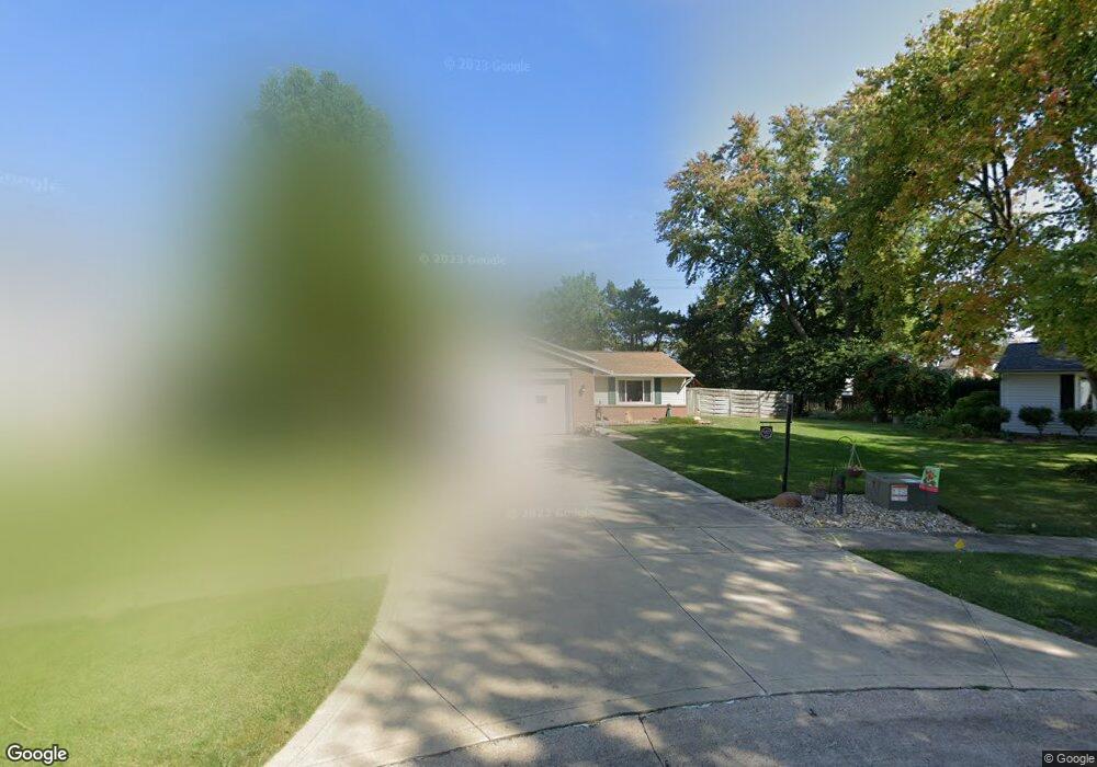
This home is located at 913 Salem Dr, Huron, OH 44839 and is currently estimated at $285,071, approximately $146 per square foot. 913 Salem Dr is a home located in Erie County with nearby schools including Woodlands Intermediate School, Shawnee Elementary School, and McCormick Junior High School.
Ownership History
Date
Name
Owned For
Owner Type
Purchase Details
Closed on
May 17, 2012
Sold by
Knauer Gary L and Knauer Karen S
Bought by
Dingus Brandon K and Dingus Elizabeth A
Current Estimated Value
Home Financials for this Owner
Home Financials are based on the most recent Mortgage that was taken out on this home.
Original Mortgage
$119,900
Outstanding Balance
$83,461
Interest Rate
4%
Mortgage Type
New Conventional
Estimated Equity
$201,610
Create a Home Valuation Report for This Property
The Home Valuation Report is an in-depth analysis detailing your home's value as well as a comparison with similar homes in the area
Home Values in the Area
Average Home Value in this Area
Purchase History
| Date | Buyer | Sale Price | Title Company |
|---|---|---|---|
| Dingus Brandon K | $149,900 | First American Title |
Source: Public Records
Mortgage History
| Date | Status | Borrower | Loan Amount |
|---|---|---|---|
| Open | Dingus Brandon K | $119,900 |
Source: Public Records
Tax History Compared to Growth
Tax History
| Year | Tax Paid | Tax Assessment Tax Assessment Total Assessment is a certain percentage of the fair market value that is determined by local assessors to be the total taxable value of land and additions on the property. | Land | Improvement |
|---|---|---|---|---|
| 2024 | $3,014 | $73,227 | $14,217 | $59,010 |
| 2023 | $3,014 | $57,182 | $12,582 | $44,600 |
| 2022 | $2,374 | $57,186 | $12,582 | $44,604 |
| 2021 | $2,367 | $57,180 | $12,580 | $44,600 |
| 2020 | $2,198 | $51,730 | $12,580 | $39,150 |
| 2019 | $1,917 | $51,730 | $12,580 | $39,150 |
| 2018 | $1,927 | $51,730 | $12,580 | $39,150 |
| 2017 | $1,847 | $48,790 | $10,940 | $37,850 |
| 2016 | $1,779 | $48,790 | $10,940 | $37,850 |
| 2015 | $1,784 | $48,790 | $10,940 | $37,850 |
| 2014 | $1,804 | $48,790 | $10,940 | $37,850 |
| 2013 | $1,779 | $48,790 | $10,940 | $37,850 |
Source: Public Records
Map
Nearby Homes
- 1003 Cleveland Rd W
- 720 Strowbridge Dr
- 416 Wexford Dr
- 748 Chestnut Ln
- 1311 Cleveland Rd W Unit 6
- 11 Turtle Bay
- 620 Cleveland Rd W
- 505 Liberty Dr Unit 9B
- 319 Ironwood Rd
- 301 Gumwood Rd
- 932 Glenview Dr
- 919 Glenview Dr
- 216 Marion Ave
- 346 Main St
- 2016 Cleveland Rd W
- 803 Bogart Rd
- 40 Poplar St
- 41 Poplar St
- 0 Main St
- 224 Atwood Place
- 914 Salem Dr
- 911 Salem Dr
- 304 Concord Ct
- 303 Concord Ct
- 912 Salem Dr
- 306 Concord Ct
- 222 Perry Ave
- 219 Perry Ave
- 907 Salem Dr
- 910 Salem Dr
- 220 Perry Ave
- 913 Strowbridge Dr
- 305 Concord Ct
- 915 Strowbridge Dr
- 911 Strowbridge Dr
- 920 Superior Dr
- 215 Perry Ave
- 908 Salem Dr
- 222 Ashland Ave
- 902 Cleveland Rd W