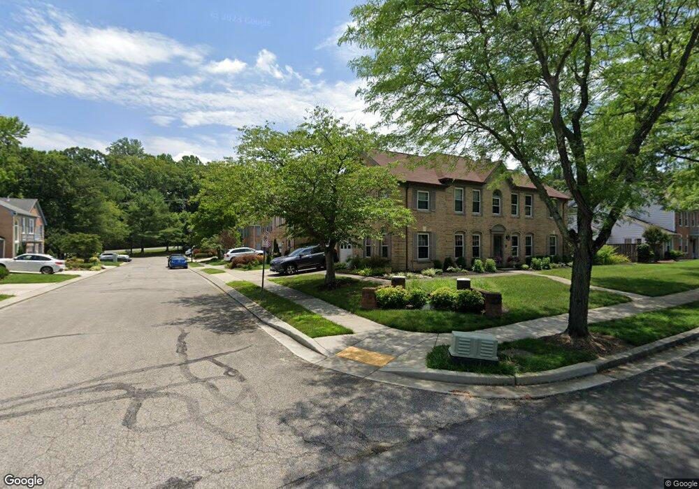
913 Sextant Way Annapolis, MD 21401
Parole NeighborhoodEstimated Value: $450,000 - $504,000
--
Bed
3
Baths
2,092
Sq Ft
$230/Sq Ft
Est. Value
About This Home
This home is located at 913 Sextant Way, Annapolis, MD 21401 and is currently estimated at $482,120, approximately $230 per square foot. 913 Sextant Way is a home located in Anne Arundel County with nearby schools including Rolling Knolls Elementary School, Wiley H. Bates Middle School, and Annapolis High School.
Ownership History
Date
Name
Owned For
Owner Type
Purchase Details
Closed on
Aug 15, 2008
Sold by
Reb Richard
Bought by
Reb Richard E
Current Estimated Value
Purchase Details
Closed on
Aug 6, 2008
Sold by
Reb Richard
Bought by
Reb Richard E
Purchase Details
Closed on
Sep 30, 2003
Sold by
Doersam Harold A
Bought by
Reb Richard
Purchase Details
Closed on
Aug 14, 1996
Sold by
Ryan Edward N
Bought by
Doersam Harold A
Create a Home Valuation Report for This Property
The Home Valuation Report is an in-depth analysis detailing your home's value as well as a comparison with similar homes in the area
Home Values in the Area
Average Home Value in this Area
Purchase History
| Date | Buyer | Sale Price | Title Company |
|---|---|---|---|
| Reb Richard E | -- | -- | |
| Reb Richard E | -- | -- | |
| Reb Richard | $268,000 | -- | |
| Doersam Harold A | $175,000 | -- |
Source: Public Records
Mortgage History
| Date | Status | Borrower | Loan Amount |
|---|---|---|---|
| Closed | Reb Richard | -- |
Source: Public Records
Tax History Compared to Growth
Tax History
| Year | Tax Paid | Tax Assessment Tax Assessment Total Assessment is a certain percentage of the fair market value that is determined by local assessors to be the total taxable value of land and additions on the property. | Land | Improvement |
|---|---|---|---|---|
| 2025 | $3,796 | $410,333 | -- | -- |
| 2024 | $3,796 | $375,867 | $0 | $0 |
| 2023 | $3,666 | $341,400 | $160,000 | $181,400 |
| 2022 | $3,427 | $334,700 | $0 | $0 |
| 2021 | $3,268 | $328,000 | $0 | $0 |
| 2020 | $3,268 | $321,300 | $140,000 | $181,300 |
| 2019 | $3,206 | $309,133 | $0 | $0 |
| 2018 | $3,011 | $296,967 | $0 | $0 |
| 2017 | $3,007 | $284,800 | $0 | $0 |
| 2016 | -- | $271,500 | $0 | $0 |
| 2015 | -- | $258,200 | $0 | $0 |
| 2014 | -- | $244,900 | $0 | $0 |
Source: Public Records
Map
Nearby Homes
- 916 Sextant Way
- 1007 Boom Ct
- 1909 Marconi Cir
- 2664 Compass Dr
- 1012 Mastline Dr
- 2507 Tudo Ct
- 2600 Compass Dr
- 2601 Compass Dr
- 1945 Marconi Cir
- 2671 Cunningham Hole Rd
- 1003 Mastline Dr
- 2737 Yeomans Lantern Ct
- 940 Astern Way Unit 604
- 940 Astern Way Unit 309
- 930 Astern Way Unit 609
- 930 Astern Way Unit 502
- 930 Astern Way Unit 405
- 930 Astern Way Unit 511
- 932 Riversedge Cir
- 772 Ballast Way
- 911 Sextant Way
- 915 Sextant Way
- 909 Sextant Way
- 1022 Sextant Ct
- 1020 Sextant Ct
- 1024 Sextant Ct
- 1018 Sextant Ct
- 1016 Sextant Ct
- 905 Sextant Way
- 912 Sextant Way
- 1014 Sextant Ct
- 910 Sextant Way
- 903 Sextant Way
- 908 Sextant Way
- 901 Boom Way
- 906 Sextant Way
- 901 Sextant Way
- 903 Boom Way
- 1000 Boom Ct
- 905 Boom Way