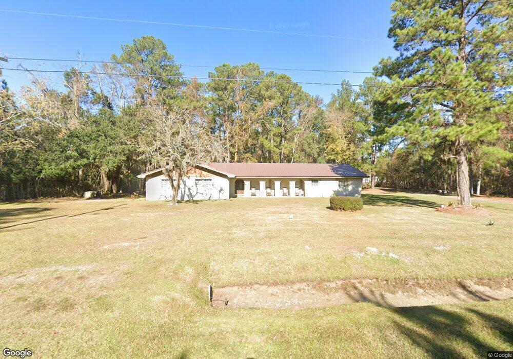
913 Shell Rd Riceboro, GA 31323
Estimated Value: $234,128 - $332,000
3
Beds
2
Baths
2,274
Sq Ft
$131/Sq Ft
Est. Value
About This Home
This home is located at 913 Shell Rd, Riceboro, GA 31323 and is currently estimated at $297,032, approximately $130 per square foot. 913 Shell Rd is a home located in Liberty County with nearby schools including Frank Long Elementary School, Midway Middle School, and Liberty County High School.
Ownership History
Date
Name
Owned For
Owner Type
Purchase Details
Closed on
Jun 14, 2018
Sold by
Tyson Lester
Bought by
Tyson-Pollard Katrelle Alisa
Current Estimated Value
Purchase Details
Closed on
Oct 31, 2001
Sold by
Tyson Lester
Bought by
Tyson Sharon D
Purchase Details
Closed on
Mar 27, 1965
Bought by
Tyson Lester
Create a Home Valuation Report for This Property
The Home Valuation Report is an in-depth analysis detailing your home's value as well as a comparison with similar homes in the area
Purchase History
| Date | Buyer | Sale Price | Title Company |
|---|---|---|---|
| Tyson-Pollard Katrelle Alisa | -- | -- | |
| Tyson Sharon D | -- | -- | |
| Tyson Lester | -- | -- |
Source: Public Records
Tax History
| Year | Tax Paid | Tax Assessment Tax Assessment Total Assessment is a certain percentage of the fair market value that is determined by local assessors to be the total taxable value of land and additions on the property. | Land | Improvement |
|---|---|---|---|---|
| 2024 | $1,455 | $64,859 | $2,340 | $62,519 |
| 2023 | $1,546 | $57,486 | $2,340 | $55,146 |
| 2022 | $1,290 | $47,015 | $2,127 | $44,888 |
| 2021 | $1,114 | $42,734 | $2,127 | $40,607 |
| 2020 | $1,127 | $43,340 | $2,127 | $41,213 |
| 2019 | $1,122 | $43,946 | $2,127 | $41,819 |
| 2018 | $1,130 | $44,552 | $2,127 | $42,425 |
| 2017 | $1,487 | $45,158 | $2,127 | $43,031 |
| 2016 | $989 | $45,764 | $2,127 | $43,637 |
| 2015 | $985 | $45,274 | $1,636 | $43,637 |
| 2014 | $985 | $47,840 | $1,636 | $46,204 |
| 2013 | -- | $39,708 | $572 | $39,136 |
Source: Public Records
Map
Nearby Homes
- 0 Barrington Ferry Rd Unit SA348790
- none Barrington Ferry Rd
- 8434 E B Cooper Hwy
- 8578 E B Cooper Hwy
- 0 Sandy Run Rd Unit 10592196
- 155 Barrington Ferry Rd
- lot 1 Frazier Dr
- lot 2 Frazier Dr
- 176 Dave Williams Rd
- 72 Big Oak Rd
- 3 and M3 Big Oak Rd
- 3 & M3 Big Oak Rd
- 5.8 ACRES S Coastal Hwy
- 6078 S Coastal Hwy
- 39.38 Branson Place Rd
- 2111 Smiley Loop Rd
- 211 Smiley Loop Rd
- 8701 E Oglethorpe Hwy
- 0 E Oglethorpe Unit SA341930
- 0 E Oglethorpe Unit 153327
Your Personal Tour Guide
Ask me questions while you tour the home.