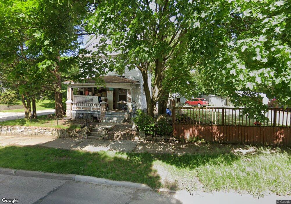
913 Snyder St Akron, OH 44307
Sherbondy Hill NeighborhoodEstimated Value: $54,786 - $97,000
3
Beds
1
Bath
1,344
Sq Ft
$54/Sq Ft
Est. Value
About This Home
This home is located at 913 Snyder St, Akron, OH 44307 and is currently estimated at $72,947, approximately $54 per square foot. 913 Snyder St is a home located in Summit County with nearby schools including St. Bernard-St. Mary Elementary School.
Ownership History
Date
Name
Owned For
Owner Type
Purchase Details
Closed on
Apr 21, 2023
Sold by
Meyn Kenneth W
Bought by
Montgomery Marilyn
Current Estimated Value
Purchase Details
Closed on
Aug 1, 2008
Sold by
Meyn Kenneth W
Bought by
Montgomery Marilyn
Home Financials for this Owner
Home Financials are based on the most recent Mortgage that was taken out on this home.
Original Mortgage
$54,000
Interest Rate
4.75%
Mortgage Type
Seller Take Back
Purchase Details
Closed on
Aug 29, 2006
Sold by
Walker Charles A and Walker Edith
Bought by
Meyn Kenneth W
Create a Home Valuation Report for This Property
The Home Valuation Report is an in-depth analysis detailing your home's value as well as a comparison with similar homes in the area
Home Values in the Area
Average Home Value in this Area
Purchase History
| Date | Buyer | Sale Price | Title Company |
|---|---|---|---|
| Montgomery Marilyn | -- | None Listed On Document | |
| Montgomery Marilyn | $54,900 | None Available | |
| Meyn Kenneth W | $10,000 | None Available |
Source: Public Records
Mortgage History
| Date | Status | Borrower | Loan Amount |
|---|---|---|---|
| Previous Owner | Montgomery Marilyn | $54,000 |
Source: Public Records
Tax History Compared to Growth
Tax History
| Year | Tax Paid | Tax Assessment Tax Assessment Total Assessment is a certain percentage of the fair market value that is determined by local assessors to be the total taxable value of land and additions on the property. | Land | Improvement |
|---|---|---|---|---|
| 2025 | $766 | $10,700 | $2,776 | $7,924 |
| 2024 | $729 | $10,700 | $2,776 | $7,924 |
| 2023 | $766 | $10,700 | $2,776 | $7,924 |
| 2022 | $588 | $6,293 | $1,631 | $4,662 |
| 2021 | $588 | $6,293 | $1,631 | $4,662 |
| 2020 | $582 | $6,290 | $1,630 | $4,660 |
| 2019 | $549 | $5,280 | $2,240 | $3,040 |
| 2018 | $824 | $5,280 | $2,240 | $3,040 |
| 2017 | $605 | $5,280 | $2,240 | $3,040 |
| 2016 | $605 | $5,370 | $2,240 | $3,130 |
| 2015 | $605 | $5,370 | $2,240 | $3,130 |
| 2014 | $601 | $5,370 | $2,240 | $3,130 |
| 2013 | $632 | $5,880 | $2,240 | $3,640 |
Source: Public Records
Map
Nearby Homes
- 949 Raymond St
- 364 Campbell St
- 817 Raymond St
- 677 Vernon Odom Blvd
- 1063 Raymond St
- 1001 Celina Ave
- 721 Vernon Odom Blvd
- 1132 Bristol Terrace
- 794 Ruth Ave
- 737 Vernon Odom Blvd
- 639 Bellevue Ave
- 564 Euclid Ave
- 834 Kenyon St
- 670 Euclid Ave
- 776 Krause Ct
- 985 Diana Ave
- 810 Amherst St
- 1174 La Croix Ave
- 963 Penn Ave
- 595 Rhodes Ave