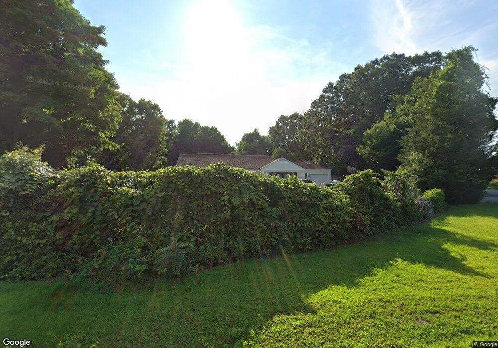
913 Upper Maple St Dayville, CT 06241
Estimated Value: $332,000 - $415,000
4
Beds
2
Baths
1,712
Sq Ft
$224/Sq Ft
Est. Value
About This Home
This home is located at 913 Upper Maple St, Dayville, CT 06241 and is currently estimated at $384,054, approximately $224 per square foot. 913 Upper Maple St is a home located in Windham County with nearby schools including Killingly Central School, Killingly Memorial School, and Killingly Intermediate School.
Ownership History
Date
Name
Owned For
Owner Type
Purchase Details
Closed on
Aug 10, 1995
Sold by
Thompson Robert R and Thompson Sandra
Bought by
Durand Leonard E and Durand Kathleen
Current Estimated Value
Home Financials for this Owner
Home Financials are based on the most recent Mortgage that was taken out on this home.
Original Mortgage
$98,500
Interest Rate
7.48%
Mortgage Type
Unknown
Create a Home Valuation Report for This Property
The Home Valuation Report is an in-depth analysis detailing your home's value as well as a comparison with similar homes in the area
Home Values in the Area
Average Home Value in this Area
Purchase History
| Date | Buyer | Sale Price | Title Company |
|---|---|---|---|
| Durand Leonard E | $98,500 | -- | |
| Durand Leonard E | $98,500 | -- |
Source: Public Records
Mortgage History
| Date | Status | Borrower | Loan Amount |
|---|---|---|---|
| Open | Durand Leonard E | $106,000 | |
| Closed | Durand Leonard E | $123,000 | |
| Closed | Durand Leonard E | $13,000 | |
| Closed | Durand Leonard E | $98,500 |
Source: Public Records
Tax History Compared to Growth
Tax History
| Year | Tax Paid | Tax Assessment Tax Assessment Total Assessment is a certain percentage of the fair market value that is determined by local assessors to be the total taxable value of land and additions on the property. | Land | Improvement |
|---|---|---|---|---|
| 2025 | $4,745 | $204,720 | $43,830 | $160,890 |
| 2024 | $4,510 | $204,720 | $43,830 | $160,890 |
| 2023 | $3,901 | $134,240 | $34,420 | $99,820 |
| 2022 | $3,672 | $134,820 | $35,000 | $99,820 |
| 2021 | $3,672 | $134,820 | $35,000 | $99,820 |
| 2020 | $3,605 | $134,820 | $35,000 | $99,820 |
| 2019 | $3,648 | $134,820 | $35,000 | $99,820 |
| 2017 | $3,585 | $120,470 | $35,000 | $85,470 |
| 2016 | $3,585 | $120,470 | $35,000 | $85,470 |
| 2015 | $3,585 | $120,470 | $35,000 | $85,470 |
| 2014 | $3,489 | $120,470 | $35,000 | $85,470 |
Source: Public Records
Map
Nearby Homes
- 11 Kenneth Dr
- 3 Ferland Dr
- 4 Bluebird Ln
- 7 Shelby Cir
- 98 Williamsville Rd
- 1032 N Main St Unit 9
- 1067 N Main St
- 10 Conrad's Park
- 14 Valley View Dr
- 18 Valley View Dr
- 16 Valley View Dr
- 140 Woodward St
- 860 N Main St
- 85 Soap St
- 415 Maple St
- 17 Hillside Terrace
- 48 Athol St Unit 48
- 65 Stone St
- 61 Deerwood Dr
- 16 James St
- 909 Upper Maple St
- 11 State Ave
- 925 Upper Maple St
- 912 Upper Maple St
- 905 Upper Maple St
- 16 State Ave
- 901 Upper Maple St
- 924 Upper Maple St
- 931 Upper Maple St
- 935 Upper Maple St
- 895 Upper Maple St
- 939 Upper Maple St
- 941 Upper Maple St
- 889 Upper Maple St
- 930 Upper Maple St
- 940 Upper Maple St
- 890 Upper Maple St
- 945 Upper Maple St
- 880 Upper Maple St