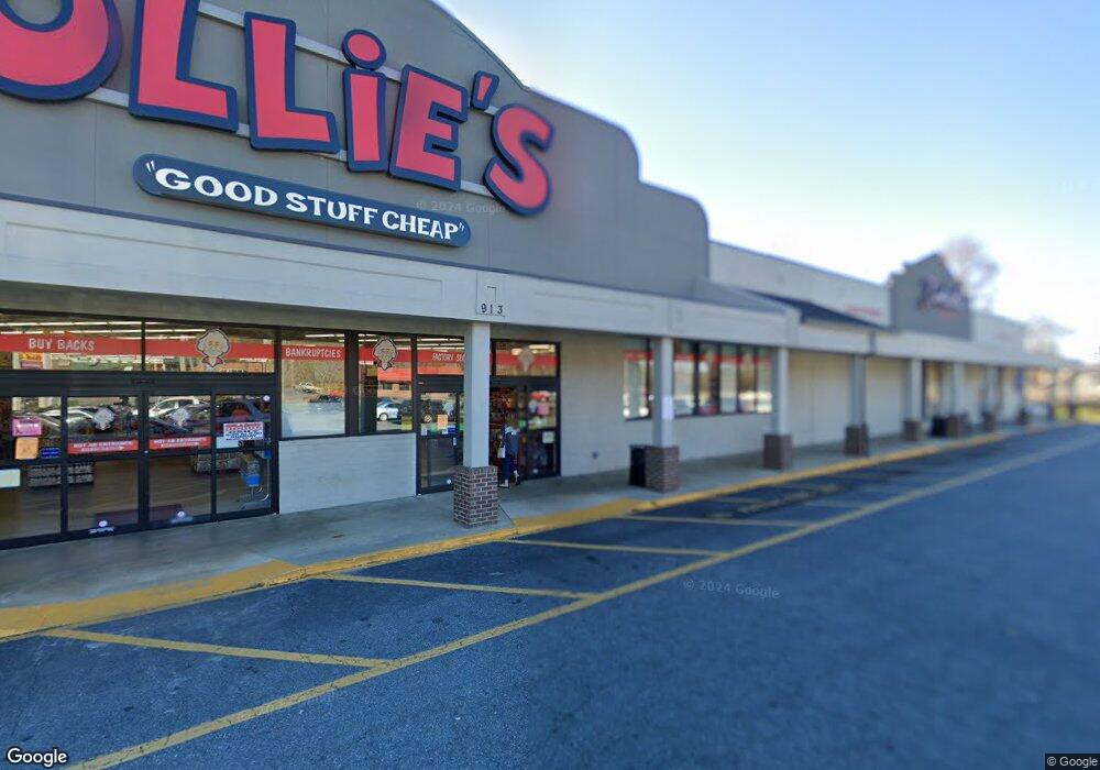
913 W Union St Morganton, NC 28655
Estimated Value: $651,000
--
Bed
--
Bath
43,208
Sq Ft
$15/Sq Ft
Est. Value
About This Home
This home is located at 913 W Union St, Morganton, NC 28655 and is currently priced at $651,000, approximately $15 per square foot. 913 W Union St is a home located in Burke County with nearby schools including Forest Hill Elementary School, Liberty Middle School, and Robert L. Patton High School.
Ownership History
Date
Name
Owned For
Owner Type
Purchase Details
Closed on
Dec 22, 2021
Sold by
Mw Morganton Llc
Bought by
Lt Mimosa Hills Llc
Current Estimated Value
Purchase Details
Closed on
May 10, 2021
Sold by
Mw Morganton Llc
Bought by
Fulenwider Properties Ii Llc
Create a Home Valuation Report for This Property
The Home Valuation Report is an in-depth analysis detailing your home's value as well as a comparison with similar homes in the area
Home Values in the Area
Average Home Value in this Area
Purchase History
| Date | Buyer | Sale Price | Title Company |
|---|---|---|---|
| Lt Mimosa Hills Llc | $5,425,000 | First National Financial Title | |
| Lt Mimosa Hills Llc | $5,425,000 | First National Financial Title | |
| Fulenwider Properties Ii Llc | $400,000 | None Available |
Source: Public Records
Mortgage History
| Date | Status | Borrower | Loan Amount |
|---|---|---|---|
| Closed | Lt Mimosa Hills Llc | $0 |
Source: Public Records
Tax History Compared to Growth
Tax History
| Year | Tax Paid | Tax Assessment Tax Assessment Total Assessment is a certain percentage of the fair market value that is determined by local assessors to be the total taxable value of land and additions on the property. | Land | Improvement |
|---|---|---|---|---|
| 2025 | $6,255 | $1,126,955 | $798,590 | $328,365 |
| 2024 | $28,101 | $5,018,111 | $798,590 | $4,219,521 |
| 2023 | -- | $5,329,687 | $798,590 | $4,531,097 |
| 2022 | $13,960 | $2,008,641 | $501,590 | $1,507,051 |
| 2021 | $12,540 | $1,804,267 | $540,090 | $1,264,177 |
| 2020 | $12,289 | $1,179,979 | $540,090 | $639,889 |
| 2019 | $8,201 | $1,179,979 | $540,090 | $639,889 |
| 2018 | $17,052 | $2,453,526 | $876,847 | $1,576,679 |
| 2017 | $17,052 | $2,453,526 | $876,847 | $1,576,679 |
| 2016 | $16,684 | $2,453,526 | $876,847 | $1,576,679 |
| 2015 | $16,713 | $2,685,470 | $876,847 | $1,808,623 |
Source: Public Records
Map
Nearby Homes
- 0 Poplar Ridge Ln
- 223 W Park Dr
- 213 W Park Dr
- 220 W Park Dr
- 507 Riverside Dr
- 404 Patton St
- 115 Riverside Ct
- 300 Patton St
- 115 Kinwood St
- 113 Falls St
- 101 Edgewood Ave
- 406 Burkemont Ave
- 410 Burkemont Ave Unit A-D
- 231 Davis Dr
- 218 Davis Dr
- 606 Collett St
- 244 N Anderson St
- 0 N Green St
- 00 S Anderson St
- 0 N Carolina 126 Unit 10123934
- 104 Creekside Dr
- 106 Creekside Dr
- 108 Creekside Dr
- 110 Creekside Dr
- 103 Creekside Dr
- 105 Creekside Dr
- 101 Creekside Dr
- V/L Creekside Dr
- 107 Creekside Dr
- 112 Creekside Dr
- 109 Creekside Dr
- 100 Mimosa Hills Dr
- 102 Mimosa Hills Dr
- 103 Sanford Dr
- 114 Creekside Dr
- 111 Creekside Dr
- 106 Mimosa Hills Dr
- 104 Mimosa Hills Dr
- 113 Creekside Dr
- 116 Creekside Dr