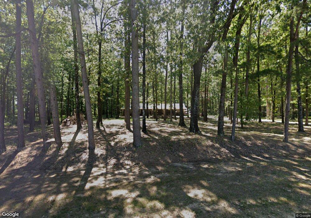
9131 Highway 80 Simsboro, LA 71275
Estimated Value: $205,000 - $226,000
--
Bed
--
Bath
2,339
Sq Ft
$94/Sq Ft
Est. Value
About This Home
This home is located at 9131 Highway 80, Simsboro, LA 71275 and is currently estimated at $219,569, approximately $93 per square foot. 9131 Highway 80 is a home located in Lincoln Parish with nearby schools including Simsboro High School.
Ownership History
Date
Name
Owned For
Owner Type
Purchase Details
Closed on
Apr 28, 2014
Sold by
Upshaw Debra Bowers and Upshaw Thomas Wayne
Bought by
Smith Joey Mark
Current Estimated Value
Home Financials for this Owner
Home Financials are based on the most recent Mortgage that was taken out on this home.
Original Mortgage
$142,373
Outstanding Balance
$108,627
Interest Rate
4.36%
Mortgage Type
FHA
Estimated Equity
$110,942
Create a Home Valuation Report for This Property
The Home Valuation Report is an in-depth analysis detailing your home's value as well as a comparison with similar homes in the area
Home Values in the Area
Average Home Value in this Area
Purchase History
| Date | Buyer | Sale Price | Title Company |
|---|---|---|---|
| Smith Joey Mark | $145,000 | None Available |
Source: Public Records
Mortgage History
| Date | Status | Borrower | Loan Amount |
|---|---|---|---|
| Open | Smith Joey Mark | $142,373 |
Source: Public Records
Tax History Compared to Growth
Tax History
| Year | Tax Paid | Tax Assessment Tax Assessment Total Assessment is a certain percentage of the fair market value that is determined by local assessors to be the total taxable value of land and additions on the property. | Land | Improvement |
|---|---|---|---|---|
| 2024 | $1,379 | $15,318 | $1,212 | $14,106 |
| 2023 | $1,364 | $14,669 | $1,124 | $13,545 |
| 2022 | $1,274 | $14,669 | $1,124 | $13,545 |
| 2021 | $1,262 | $14,669 | $1,124 | $13,545 |
| 2020 | $1,118 | $12,662 | $1,124 | $11,538 |
| 2019 | $1,112 | $12,661 | $1,123 | $11,538 |
| 2018 | $1,091 | $12,661 | $1,123 | $11,538 |
| 2017 | $1,093 | $12,661 | $1,123 | $11,538 |
| 2016 | $1,096 | $0 | $0 | $0 |
| 2015 | $1,133 | $12,153 | $1,045 | $11,108 |
| 2013 | $1,030 | $11,575 | $1,064 | $10,511 |
Source: Public Records
Map
Nearby Homes
- 9459 U S 80
- 0 Best Rd
- 119 Walnut Creek Rd
- 5325 Louisiana 563
- 136 Louisa St
- 1892 Highway 507
- 0 Bennett Rd
- 119 Cove View Rd
- 0 Louisiana 3074 Unit Tract 1
- 359 Madden Rd
- 130 Doyston Rd
- 1021 Rwe Jones Dr
- 1140 Rwe Jones Dr
- 136 Carver Ave
- 1207 Martha Dr
- 136 Rwe Jones Dr
- 583 Main St
- 102 Park St Unit 104
- 133 Church St
- 158 Lee St
- 9155 Highway 80
- 9155 Highway 80
- 9109 Highway 80
- 4859 Highway 563
- 9106 Highway 80
- 4867 Highway 563
- 9144 Highway 80
- 9144 U S 80
- 9092 Highway 80
- 9082 Highway 80
- 9167 Highway 80
- 9156 Highway 80
- 9156 Highway 80
- 9156 Highway 80
- 9184 Highway 80
- 4911 Highway 563
- 4850 Highway 563
- 10697 U S 80
- 000 U S 80 Unit 30 acres
- 3617 Highway 150