9132 Us Highway 52 S Lafayette, IN 47905
Estimated Value: $189,000 - $357,000
--
Bed
--
Bath
1,584
Sq Ft
$171/Sq Ft
Est. Value
About This Home
This home is located at 9132 Us Highway 52 S, Lafayette, IN 47905 and is currently estimated at $271,463, approximately $171 per square foot. 9132 Us Highway 52 S is a home located in Tippecanoe County with nearby schools including James Cole Elementary School, Wainwright Middle School, and McCutcheon High School.
Ownership History
Date
Name
Owned For
Owner Type
Purchase Details
Closed on
Jan 31, 2006
Sold by
Rodgers Kenneth D
Bought by
Brown Timothy B and Brown Wanda S
Current Estimated Value
Home Financials for this Owner
Home Financials are based on the most recent Mortgage that was taken out on this home.
Original Mortgage
$80,000
Outstanding Balance
$45,489
Interest Rate
6.37%
Mortgage Type
Fannie Mae Freddie Mac
Estimated Equity
$225,974
Create a Home Valuation Report for This Property
The Home Valuation Report is an in-depth analysis detailing your home's value as well as a comparison with similar homes in the area
Home Values in the Area
Average Home Value in this Area
Purchase History
| Date | Buyer | Sale Price | Title Company |
|---|---|---|---|
| Brown Timothy B | -- | None Available |
Source: Public Records
Mortgage History
| Date | Status | Borrower | Loan Amount |
|---|---|---|---|
| Open | Brown Timothy B | $80,000 |
Source: Public Records
Tax History Compared to Growth
Tax History
| Year | Tax Paid | Tax Assessment Tax Assessment Total Assessment is a certain percentage of the fair market value that is determined by local assessors to be the total taxable value of land and additions on the property. | Land | Improvement |
|---|---|---|---|---|
| 2024 | $803 | $145,900 | $46,500 | $99,400 |
| 2023 | $752 | $138,300 | $46,500 | $91,800 |
| 2022 | $462 | $101,600 | $19,800 | $81,800 |
| 2021 | $347 | $88,000 | $19,800 | $68,200 |
| 2020 | $276 | $80,700 | $19,800 | $60,900 |
| 2019 | $249 | $77,600 | $19,800 | $57,800 |
| 2018 | $249 | $77,600 | $19,800 | $57,800 |
| 2017 | $247 | $76,400 | $19,800 | $56,600 |
| 2016 | $242 | $75,900 | $19,800 | $56,100 |
| 2014 | $240 | $75,700 | $19,800 | $55,900 |
| 2013 | $250 | $74,800 | $19,800 | $55,000 |
Source: Public Records
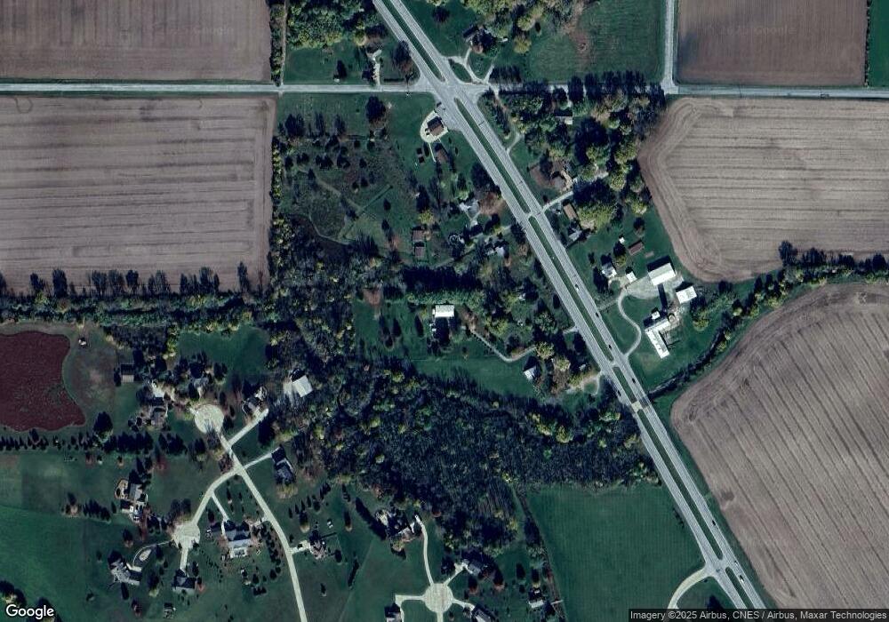
Map
Nearby Homes
- 8900 Cornell Ct
- 7858 E 800 S
- 9205 Yorktown St
- 7916 E 700 S
- 9305 Main St
- 11818 Madison St
- 9315 High St
- 0 S 800 E Unit 202536919
- 4927 E 900 Rd S
- 4875 E 900 Rd S
- 4851 E 900 Rd S
- 4801 E 900 Rd S
- 4486 Zanik Ln
- 9600 E 450 S
- 7660 Beth Ann Ln
- 8553 Valley Farm Rd
- 10870 E State Road 38
- 7255 W Mulberry Jefferson Rd
- 504 Funk St
- 409 S Main St
- 9041 Us Highway 52 S
- 9040 Us Highway 52 S
- 9136 Us Highway 52 S
- 9420 Us Highway 52 S
- 9440 Us Highway 52 S
- 9440 Us Highway 52 S
- 9024 Us Highway 52 S
- 9008 Us Highway 52 S
- 9047 Us Highway 52 S
- 9035 Us Highway 52 S
- 9017 Us Highway 52 S
- 9033 S U S 52
- 9033 U S 52
- 9033 Us Highway 52 S
- 9205 Mccombs Ct
- 8951 E 900 S
- 8906 Cobbler Ln
- 9215 Mccombs Ct
- 9201 Mccombs Ct
- 8908 Cobbler Ln