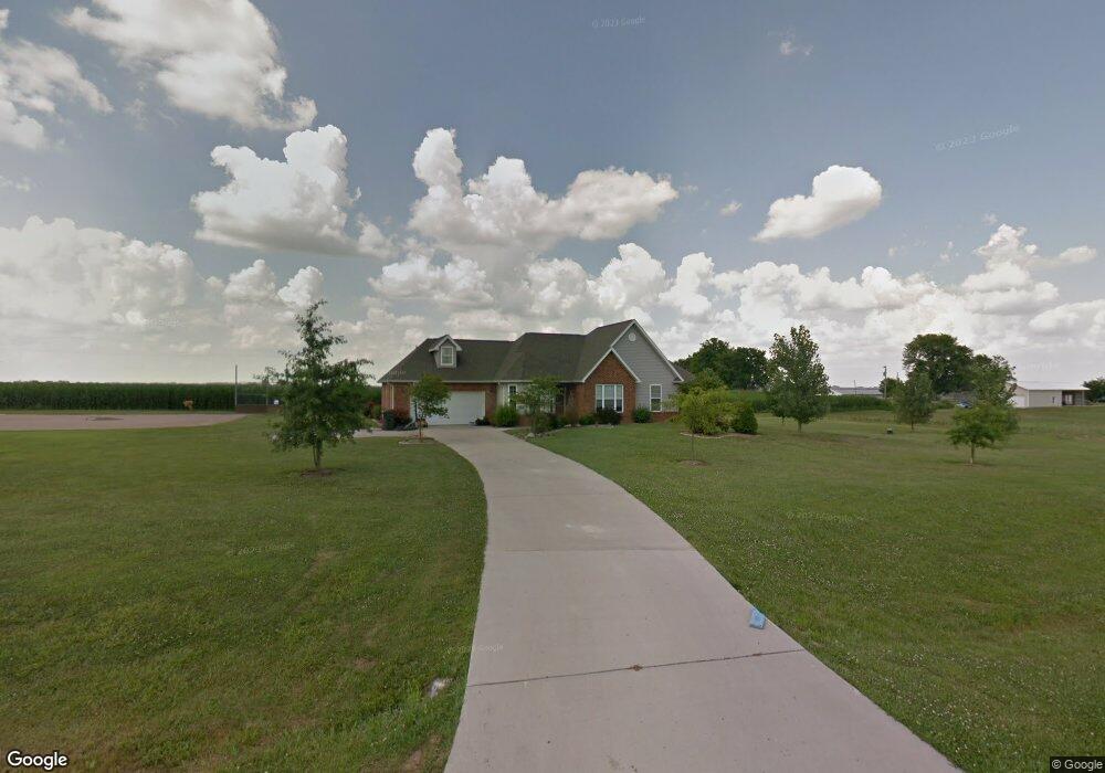
9133 Range Dr New Athens, IL 62264
Estimated Value: $369,000 - $502,000
Studio
--
Bath
1,756
Sq Ft
$239/Sq Ft
Est. Value
About This Home
This home is located at 9133 Range Dr, New Athens, IL 62264 and is currently estimated at $419,867, approximately $239 per square foot. 9133 Range Dr is a home located in St. Clair County with nearby schools including New Athens Elementary School and New Athens High School.
Create a Home Valuation Report for This Property
The Home Valuation Report is an in-depth analysis detailing your home's value as well as a comparison with similar homes in the area
Tax History
| Year | Tax Paid | Tax Assessment Tax Assessment Total Assessment is a certain percentage of the fair market value that is determined by local assessors to be the total taxable value of land and additions on the property. | Land | Improvement |
|---|---|---|---|---|
| 2024 | $7,249 | $111,472 | $9,949 | $101,523 |
| 2023 | $6,778 | $104,414 | $9,319 | $95,095 |
| 2022 | $6,723 | $96,742 | $8,634 | $88,108 |
| 2021 | $6,526 | $91,309 | $8,149 | $83,160 |
| 2020 | $5,949 | $79,035 | $7,923 | $71,112 |
| 2019 | $5,671 | $79,035 | $7,923 | $71,112 |
| 2018 | $5,405 | $75,272 | $7,546 | $67,726 |
| 2017 | $5,331 | $73,712 | $7,390 | $66,322 |
| 2016 | $5,373 | $74,228 | $7,412 | $66,816 |
| 2014 | $2,497 | $73,305 | $7,320 | $65,985 |
| 2013 | $4,413 | $76,622 | $7,651 | $68,971 |
Source: Public Records
Map
Nearby Homes
- 2266 Kaiser Rd
- 2230 Kaiser Rd
- 2420 Doe Ln
- 110 N Park St
- Lot 1 E Back St
- Lot 2 E Back St
- 000 Hidden Prairie Ln
- 5511 Cedar Ridge Ln
- 5451 Club Congress Rd
- 13 Sandridge Dr
- 213 N Van Buren St
- 904 S Mill St
- 2805 Scenic Lake Dr
- 2812 Scenic Lake Dr
- 7057 State Route 156
- 4057 Bur Oak Dr
- 8847 New Athens Darmstadt Rd
- 0 Unknown Unit 22065045
- 4200 Laurel Oak Ln
- 4017 Autumn Oak Dr
Your Personal Tour Guide
Ask me questions while you tour the home.