9135 Benson Rd Lynden, WA 98264
Estimated Value: $884,000
3
Beds
2
Baths
2,000
Sq Ft
$442/Sq Ft
Est. Value
About This Home
This home is located at 9135 Benson Rd, Lynden, WA 98264 and is currently estimated at $884,000, approximately $442 per square foot. 9135 Benson Rd is a home located in Whatcom County with nearby schools including Lynden High School, Lynden Christian School, and Ebenezer Christian School.
Ownership History
Date
Name
Owned For
Owner Type
Purchase Details
Closed on
May 27, 2005
Sold by
Stuit Ray L and Stuit Nelda M
Bought by
Vander Veen Rick and Vander Veen Michelle
Current Estimated Value
Home Financials for this Owner
Home Financials are based on the most recent Mortgage that was taken out on this home.
Original Mortgage
$150,000
Interest Rate
5.84%
Mortgage Type
Purchase Money Mortgage
Create a Home Valuation Report for This Property
The Home Valuation Report is an in-depth analysis detailing your home's value as well as a comparison with similar homes in the area
Purchase History
| Date | Buyer | Sale Price | Title Company |
|---|---|---|---|
| Vander Veen Rick | $200,000 | Chicago Title Insurance |
Source: Public Records
Mortgage History
| Date | Status | Borrower | Loan Amount |
|---|---|---|---|
| Closed | Vander Veen Rick | $150,000 |
Source: Public Records
Tax History
| Year | Tax Paid | Tax Assessment Tax Assessment Total Assessment is a certain percentage of the fair market value that is determined by local assessors to be the total taxable value of land and additions on the property. | Land | Improvement |
|---|---|---|---|---|
| 2025 | $3,979 | $690,418 | $442,684 | $247,734 |
| 2024 | $3,156 | $679,993 | $438,301 | $241,692 |
| 2023 | $3,156 | $701,942 | $374,852 | $327,090 |
| 2022 | $2,931 | $643,971 | $343,895 | $300,076 |
| 2021 | $2,647 | $503,096 | $268,664 | $234,432 |
| 2020 | $2,299 | $225,059 | $32,903 | $192,156 |
| 2019 | $2,233 | $363,330 | $194,026 | $169,304 |
| 2018 | $2,544 | $194,941 | $28,500 | $166,441 |
| 2017 | $2,270 | $182,863 | $30,050 | $152,813 |
| 2016 | $2,261 | $172,213 | $28,300 | $143,913 |
| 2015 | $2,002 | $172,213 | $28,300 | $143,913 |
| 2014 | -- | $184,248 | $44,276 | $139,972 |
| 2013 | -- | $167,436 | $40,304 | $127,132 |
Source: Public Records
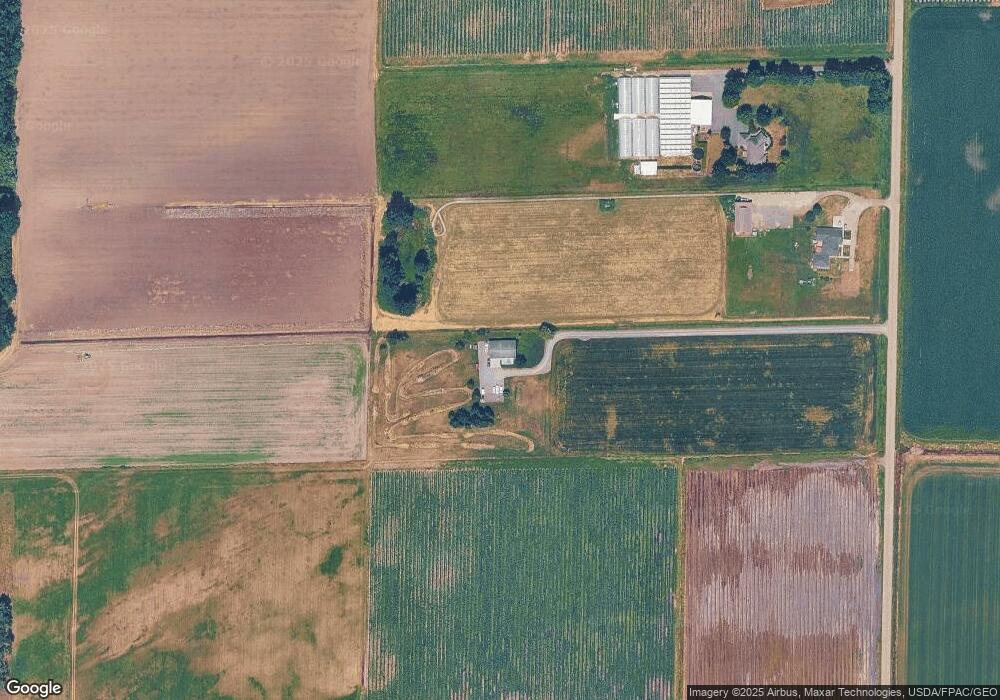
Map
Nearby Homes
- 2200 Greenview Cir Unit 17
- 0 Island Green Way
- 1877 Emerald Way
- 8872 Depot Rd Unit 203
- 1739 Emerald Way
- 885 Sunrise Dr
- 8780 Depot Rd Unit 207
- 761 Sunrise Dr
- 600 Sunrise Dr
- 114 Twin Sister Loop
- 212 W Maberry Dr Unit 302
- 816 Cedar Dr
- 805 Cedar Dr
- 102 W Maberry Dr Unit D
- 167 Cambridge Dr
- 603 Visser Rd
- 107 Springview Dr
- 137 E Cedar Dr
- 735 Ivy St
- 301 S Park St
- 9175 Benson Rd
- 9147 Benson Rd
- 9199 Benson Rd
- 9207 Benson Rd
- 9146 Double Ditch Rd
- 9062 Double Ditch Rd
- 9005 Benson Rd
- 9127 Double Ditch Rd
- 9222 Benson Rd
- 9262 Benson Rd
- 8966 Benson Rd
- 9271 Benson Rd
- 9021 Double Ditch Rd
- 511 Pangborn Rd
- 8993 Double Ditch Rd
- 9284 Double Ditch Rd
- 9265 Double Ditch Rd
- 510 Pangborn Rd
- 575 Pangborn Rd
- 528 Pangborn Rd
Your Personal Tour Guide
Ask me questions while you tour the home.