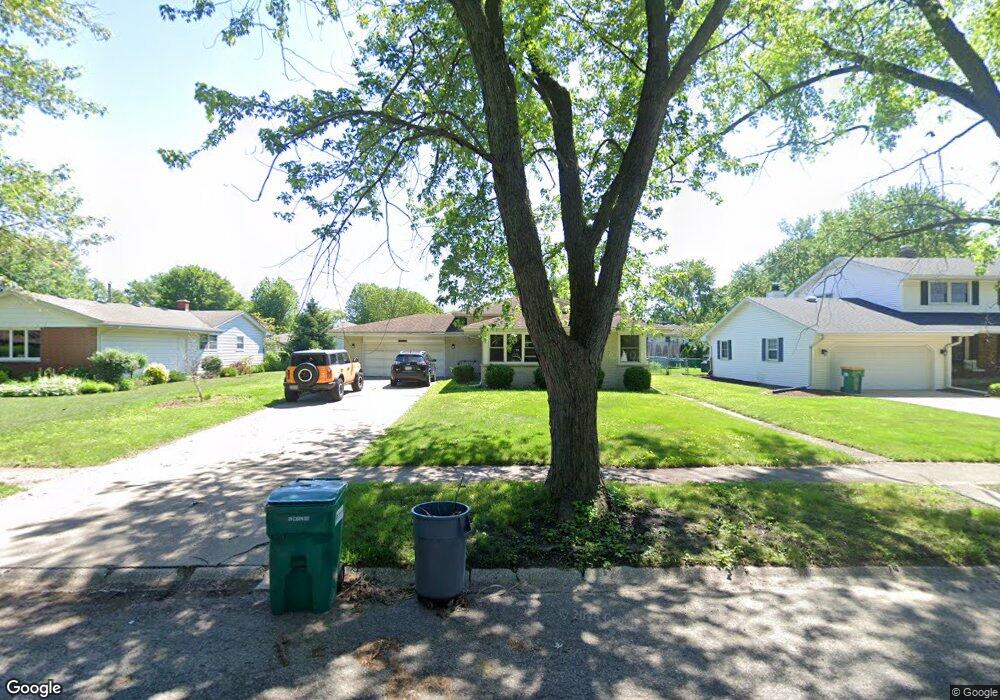
9135 Birch Dr Munster, IN 46321
Estimated Value: $363,187 - $407,000
3
Beds
2
Baths
2,000
Sq Ft
$192/Sq Ft
Est. Value
About This Home
This home is located at 9135 Birch Dr, Munster, IN 46321 and is currently estimated at $383,797, approximately $191 per square foot. 9135 Birch Dr is a home located in Lake County with nearby schools including Munster High School, St. Thomas More School, and Our Lady Of Grace School.
Ownership History
Date
Name
Owned For
Owner Type
Purchase Details
Closed on
Jul 13, 2007
Sold by
Baker Florence M and Baker Living Trust
Bought by
Presutti Wayne and Presutti Esther
Current Estimated Value
Home Financials for this Owner
Home Financials are based on the most recent Mortgage that was taken out on this home.
Original Mortgage
$229,900
Outstanding Balance
$143,607
Interest Rate
6.76%
Mortgage Type
Purchase Money Mortgage
Estimated Equity
$240,190
Create a Home Valuation Report for This Property
The Home Valuation Report is an in-depth analysis detailing your home's value as well as a comparison with similar homes in the area
Home Values in the Area
Average Home Value in this Area
Purchase History
| Date | Buyer | Sale Price | Title Company |
|---|---|---|---|
| Presutti Wayne | -- | Chicago Title Insurance Co | |
| Presutti Wayne | -- | Chicago Title Insurance Co |
Source: Public Records
Mortgage History
| Date | Status | Borrower | Loan Amount |
|---|---|---|---|
| Open | Presutti Wayne | $229,900 | |
| Closed | Presutti Wayne | $229,900 |
Source: Public Records
Tax History
| Year | Tax Paid | Tax Assessment Tax Assessment Total Assessment is a certain percentage of the fair market value that is determined by local assessors to be the total taxable value of land and additions on the property. | Land | Improvement |
|---|---|---|---|---|
| 2025 | $4,112 | $347,100 | $62,000 | $285,100 |
| 2024 | $9,553 | $326,100 | $62,000 | $264,100 |
| 2023 | $3,895 | $312,500 | $63,800 | $248,700 |
| 2022 | $3,895 | $294,200 | $63,800 | $230,400 |
| 2021 | $3,571 | $269,900 | $35,400 | $234,500 |
| 2020 | $3,511 | $264,900 | $35,400 | $229,500 |
| 2019 | $3,308 | $253,700 | $35,400 | $218,300 |
| 2018 | $3,699 | $244,000 | $35,400 | $208,600 |
| 2017 | $3,622 | $238,700 | $35,400 | $203,300 |
| 2016 | $3,347 | $230,400 | $35,400 | $195,000 |
| 2014 | $3,299 | $225,200 | $35,300 | $189,900 |
| 2013 | $3,000 | $210,200 | $35,400 | $174,800 |
Source: Public Records
Map
Nearby Homes
- 9200 Birch Ave
- 1608 Tulip Ln
- 1531 Fran-Lin Pkwy
- 1645 Tulip Ln
- 9133 Foliage Ln
- 9212 Greenwood Ave
- 9401 Fran Lin Pkwy
- 1400 Fran Lin Pkwy
- 9439 Walnut Dr
- 1825 Oriole Dr
- 9123 Crestwood Ct
- 9000 Chestnut Ln
- 9220 Wildwood Dr
- 1938 Magnolia Ln
- 1118 Fran-Lin Pkwy
- 2022 38th St
- 1841 Lambert Ln
- 9449 Primrose Ln
- 9421 Cottonwood Dr
- 9604 Hawthorne Dr
- 9135 Birch Ave
- 9139 Birch Dr
- 9129 Birch Dr
- 9134 White Oak Ave
- 9138 White Oak Ave
- 9123 Birch Dr
- 9145 Birch Dr
- 9128 White Oak Ave
- 9134 Birch Dr
- 9134 Birch Ave
- 9128 Birch Dr
- 9144 White Oak Ave
- 9122 White Oak Ave
- 9138 Birch Dr
- 9122 Birch Dr
- 1530 Tulip Ln
- 9201 Birch Ave
- 1540 Tulip Ln
- 9144 Birch Dr
- 9200 White Oak Ave
Your Personal Tour Guide
Ask me questions while you tour the home.