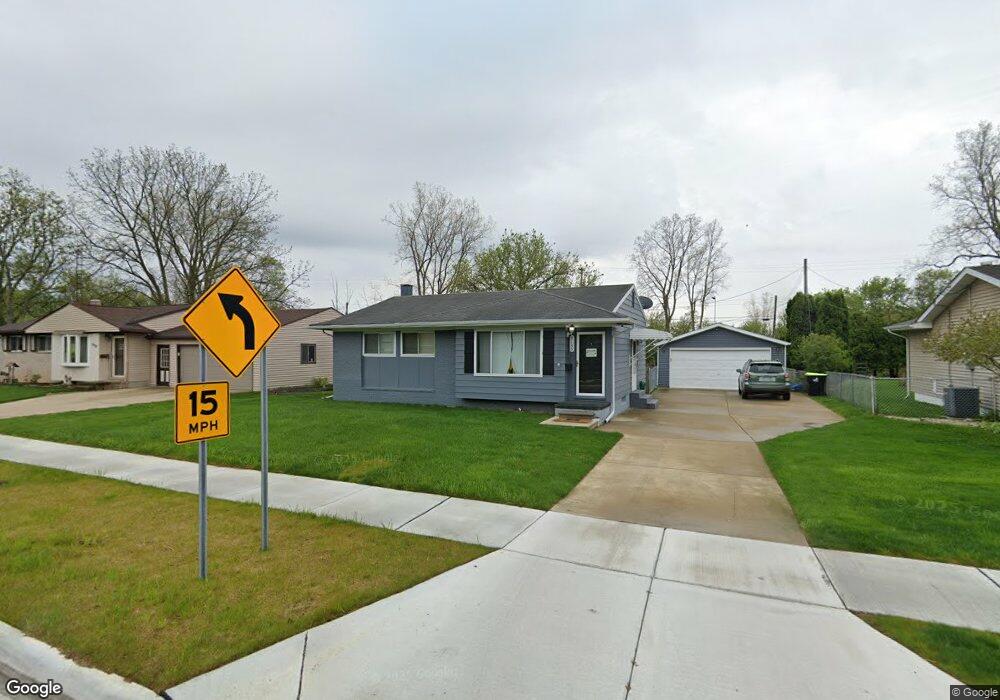
9135 Norbury Dr Swartz Creek, MI 48473
Estimated Value: $168,000 - $192,123
--
Bed
--
Bath
940
Sq Ft
$192/Sq Ft
Est. Value
About This Home
This home is located at 9135 Norbury Dr, Swartz Creek, MI 48473 and is currently estimated at $180,031, approximately $191 per square foot. 9135 Norbury Dr is a home located in Genesee County with nearby schools including Syring Elementary School, Elms Road Elementary School, and Dieck Elementary School.
Ownership History
Date
Name
Owned For
Owner Type
Purchase Details
Closed on
Jul 25, 2023
Sold by
Brittain Kathleen A
Bought by
Lewis Shawn M and Gorzenski Kelly N
Current Estimated Value
Home Financials for this Owner
Home Financials are based on the most recent Mortgage that was taken out on this home.
Original Mortgage
$74,690
Outstanding Balance
$70,155
Interest Rate
5.88%
Mortgage Type
New Conventional
Estimated Equity
$109,876
Purchase Details
Closed on
Sep 23, 1998
Sold by
Lynch Thomas E
Bought by
Lewis Lynch Kathleen A
Create a Home Valuation Report for This Property
The Home Valuation Report is an in-depth analysis detailing your home's value as well as a comparison with similar homes in the area
Home Values in the Area
Average Home Value in this Area
Purchase History
| Date | Buyer | Sale Price | Title Company |
|---|---|---|---|
| Lewis Shawn M | $77,000 | First American Title | |
| Lewis Lynch Kathleen A | -- | Titlequest Agency |
Source: Public Records
Mortgage History
| Date | Status | Borrower | Loan Amount |
|---|---|---|---|
| Open | Lewis Shawn M | $74,690 |
Source: Public Records
Tax History Compared to Growth
Tax History
| Year | Tax Paid | Tax Assessment Tax Assessment Total Assessment is a certain percentage of the fair market value that is determined by local assessors to be the total taxable value of land and additions on the property. | Land | Improvement |
|---|---|---|---|---|
| 2025 | $2,728 | $76,700 | $0 | $0 |
| 2024 | $2,207 | $73,700 | $0 | $0 |
| 2023 | $2,193 | $68,100 | $0 | $0 |
| 2022 | $2,421 | $58,000 | $0 | $0 |
| 2021 | $2,360 | $56,100 | $0 | $0 |
| 2020 | $2,007 | $54,700 | $0 | $0 |
| 2019 | $1,977 | $50,600 | $0 | $0 |
| 2018 | $2,081 | $45,800 | $0 | $0 |
| 2017 | $2,008 | $45,800 | $0 | $0 |
| 2016 | $1,990 | $44,200 | $0 | $0 |
| 2015 | $1,663 | $40,600 | $0 | $0 |
| 2014 | $1,400 | $37,500 | $0 | $0 |
| 2012 | -- | $31,600 | $31,600 | $0 |
Source: Public Records
Map
Nearby Homes
- 5409 Durwood Dr
- 5380 Durwood Dr
- 9307 Hill Rd
- 5328 Don Shenk Dr
- 5150 Oxford Ct
- 9091 Miller Rd
- 6260 Hidden Forrest Dr
- 6265 Hidden Forrest Dr
- 9312 Sue Ct
- 5050 Fairchild St
- 57 Ashley Cir
- 8247 Miller Rd
- 72 Ashley Cir
- 5032 Brady St
- 138 Ashley Cir
- 4320 Seymour Rd
- 6434 Bristol Rd
- 4144 Seymour Rd
- 0 S Seymour Rd
- 5402 Raubinger Rd
- 9127 Norbury Dr
- 9143 Norbury Dr
- 9138 Norbury Dr
- 9119 Norbury Dr
- 9151 Norbury Dr
- 9132 Norbury Dr
- 9160 Norbury Dr
- 9152 Norbury Dr
- 9111 Norbury Dr
- 9159 Norbury Dr
- 5401 Greenleaf Dr
- 9165 Norbury Dr
- 5404 Durwood Dr
- 9168 Norbury Dr
- 5395 Greenleaf Dr
- 5404 Greenleaf Dr
- 9176 Norbury Dr
- 5396 Durwood Dr
- 5403 Durwood Dr
- 5396 Greenleaf Dr