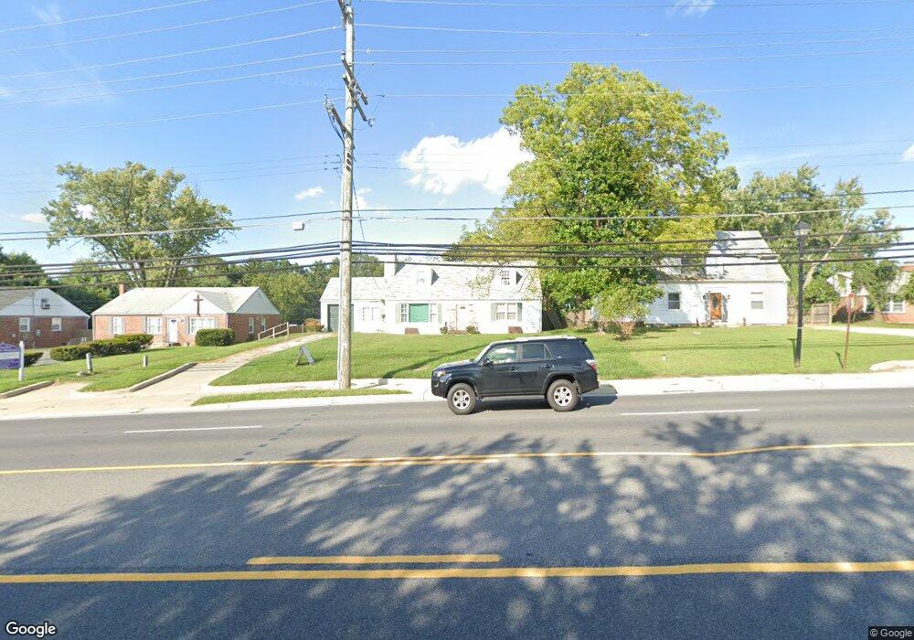
9136 Liberty Rd Randallstown, MD 21133
--
Bed
--
Bath
1,599
Sq Ft
1.6
Acres
About This Home
This home is located at 9136 Liberty Rd, Randallstown, MD 21133. 9136 Liberty Rd is a home located in Baltimore County with nearby schools including Randallstown Elementary School, Deer Park Middle Magnet School, and Randallstown High School.
Ownership History
Date
Name
Owned For
Owner Type
Purchase Details
Closed on
Mar 26, 2019
Sold by
Trustee Of Collective Crstn Ministries I
Bought by
P & S Development Inc
Purchase Details
Closed on
Apr 15, 2004
Sold by
Ez Fern and Ez Orl
Bought by
Collective Christian
Purchase Details
Closed on
Feb 13, 2004
Sold by
Ez Fern and Ez Orl
Bought by
Collective Christian and Ministries Inc
Purchase Details
Closed on
Jun 7, 2000
Sold by
Kendrick Melvin R and Kendrick Mildred F
Bought by
Fernandez Orlando John
Purchase Details
Closed on
May 29, 1998
Sold by
Kendrick Melvin R
Bought by
Kendrick Melvin R and Kendrick Mildred F
Create a Home Valuation Report for This Property
The Home Valuation Report is an in-depth analysis detailing your home's value as well as a comparison with similar homes in the area
Home Values in the Area
Average Home Value in this Area
Purchase History
| Date | Buyer | Sale Price | Title Company |
|---|---|---|---|
| P & S Development Inc | $265,000 | Residential T&E Co | |
| Collective Christian | $140,000 | -- | |
| Collective Christian | $140,000 | -- | |
| Collective Christian | $140,000 | -- | |
| Collective Christian | $140,000 | -- | |
| Fernandez Orlando John | $138,500 | -- | |
| Kendrick Melvin R | -- | -- |
Source: Public Records
Tax History Compared to Growth
Tax History
| Year | Tax Paid | Tax Assessment Tax Assessment Total Assessment is a certain percentage of the fair market value that is determined by local assessors to be the total taxable value of land and additions on the property. | Land | Improvement |
|---|---|---|---|---|
| 2025 | $483 | $188,900 | -- | -- |
| 2024 | $483 | $181,100 | $105,100 | $76,000 |
| 2023 | $232 | $181,100 | $105,100 | $76,000 |
| 2022 | $445 | $181,100 | $105,100 | $76,000 |
| 2021 | $427 | $195,600 | $120,000 | $75,600 |
| 2020 | $402 | $195,600 | $120,000 | $75,600 |
| 2019 | $2,371 | $195,600 | $120,000 | $75,600 |
| 2018 | $422 | $214,800 | $143,300 | $71,500 |
| 2017 | $319 | $212,967 | $0 | $0 |
| 2016 | $198 | $211,133 | $0 | $0 |
| 2015 | $198 | $209,300 | $0 | $0 |
| 2014 | $198 | $209,300 | $0 | $0 |
Source: Public Records
Map
Nearby Homes
- 9124 Liberty Rd
- 9202 Samoset Rd
- 9303 Samoset Rd
- 3506 Bayer Ave
- 3402 Offutt Rd
- 3418 Carroll Ave
- 3332 Offutt Rd
- 3705 Allenswood Ct
- 3320 Offutt Rd
- 9302 Silver Charm Dr
- 9401 Summer Squal Dr
- 9044 Allenswood Rd
- 3816 Cassandra Rd
- 3805 Terka Cir
- 8948 Harkate Way
- 9311 Colorado Ave
- 8908 Meadow Heights Rd
- 9112 Meadow Heights Rd
- 3671 Waterwheel Square
- 8808 Church Ln