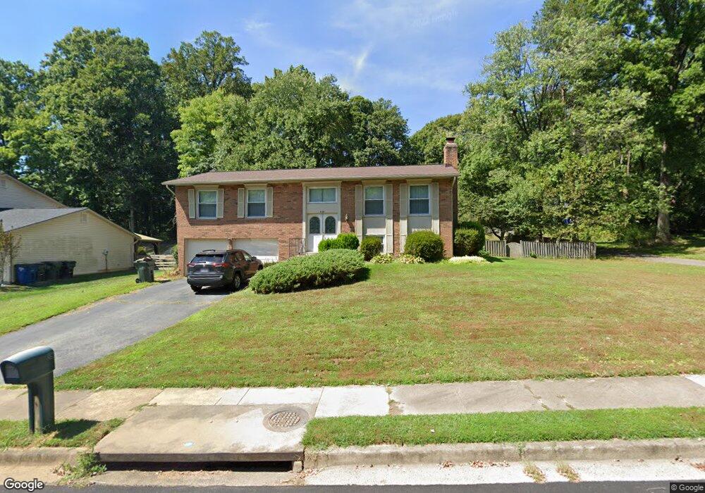
9138 Rockefeller Ln Springfield, VA 22153
Estimated Value: $742,633 - $850,000
3
Beds
2
Baths
1,544
Sq Ft
$519/Sq Ft
Est. Value
About This Home
This home is located at 9138 Rockefeller Ln, Springfield, VA 22153 and is currently estimated at $801,658, approximately $519 per square foot. 9138 Rockefeller Ln is a home located in Fairfax County with nearby schools including Orange Hunt Elementary School, Irving Middle School, and West Springfield High School.
Ownership History
Date
Name
Owned For
Owner Type
Purchase Details
Closed on
Jul 26, 1994
Sold by
Warcholak Marie A
Bought by
Samuels Robert L
Current Estimated Value
Home Financials for this Owner
Home Financials are based on the most recent Mortgage that was taken out on this home.
Original Mortgage
$172,900
Interest Rate
8.19%
Create a Home Valuation Report for This Property
The Home Valuation Report is an in-depth analysis detailing your home's value as well as a comparison with similar homes in the area
Home Values in the Area
Average Home Value in this Area
Purchase History
| Date | Buyer | Sale Price | Title Company |
|---|---|---|---|
| Samuels Robert L | $182,000 | -- |
Source: Public Records
Mortgage History
| Date | Status | Borrower | Loan Amount |
|---|---|---|---|
| Closed | Samuels Robert L | $172,900 |
Source: Public Records
Tax History
| Year | Tax Paid | Tax Assessment Tax Assessment Total Assessment is a certain percentage of the fair market value that is determined by local assessors to be the total taxable value of land and additions on the property. | Land | Improvement |
|---|---|---|---|---|
| 2025 | $8,398 | $757,840 | $321,000 | $436,840 |
| 2024 | $8,398 | $724,910 | $311,000 | $413,910 |
| 2023 | $7,777 | $689,160 | $296,000 | $393,160 |
| 2022 | $7,637 | $667,820 | $286,000 | $381,820 |
| 2021 | $6,978 | $594,670 | $256,000 | $338,670 |
| 2020 | $6,583 | $556,200 | $241,000 | $315,200 |
| 2019 | $6,222 | $525,750 | $231,000 | $294,750 |
| 2018 | $5,928 | $515,510 | $231,000 | $284,510 |
| 2017 | $5,811 | $500,510 | $216,000 | $284,510 |
| 2016 | $5,890 | $508,380 | $221,000 | $287,380 |
| 2015 | $5,295 | $474,460 | $206,000 | $268,460 |
| 2014 | $5,055 | $454,010 | $196,000 | $258,010 |
Source: Public Records
Map
Nearby Homes
- 7121 Red Horse Tavern Ln
- 7140 Hamor Ln
- 9202 Rockefeller Ln
- 9121 Donna Dean Dr
- 9022 Gavelwood Ct
- 7400 Dorothy Ct
- 9451 Lapstrake Ln
- 6901 Huntsman Blvd
- 6644 Green Ash Dr
- 7300 Reservation Dr
- 7001 Ebbtide Ln
- 9429 Goldfield Ln
- 8816 Arley Dr
- 7115 Hundsford Ln
- 7405 Willshire Hunt Ct
- 7201 Neaptide Ln
- 9101 Old Keene Mill Rd
- 9424 Park Hunt Ct
- 8739 Arley Dr
- 7316 Lightship Ct
- 9140 Rockefeller Ln
- 9136 Rockefeller Ln
- 9132 Rockefeller Ln
- 9134 Rockefeller Ln
- 9137 Rockefeller Ln
- 9139 Rockefeller Ln
- 9142 Rockefeller Ln
- 9131 Rockefeller Ln
- 9141 Rockefeller Ln
- 7025 Spaniel Rd
- 9130 Rockefeller Ln
- 7027 Spaniel Rd
- 9205 Shotgun Ct
- 9109 Rothery Ct
- 9144 Rockefeller Ln
- 9129 Rockefeller Ln
- 9207 Shotgun Ct
- 7023 Spaniel Rd
- 9145 Rockefeller Ln
- 9108 Rothery Ct
Your Personal Tour Guide
Ask me questions while you tour the home.