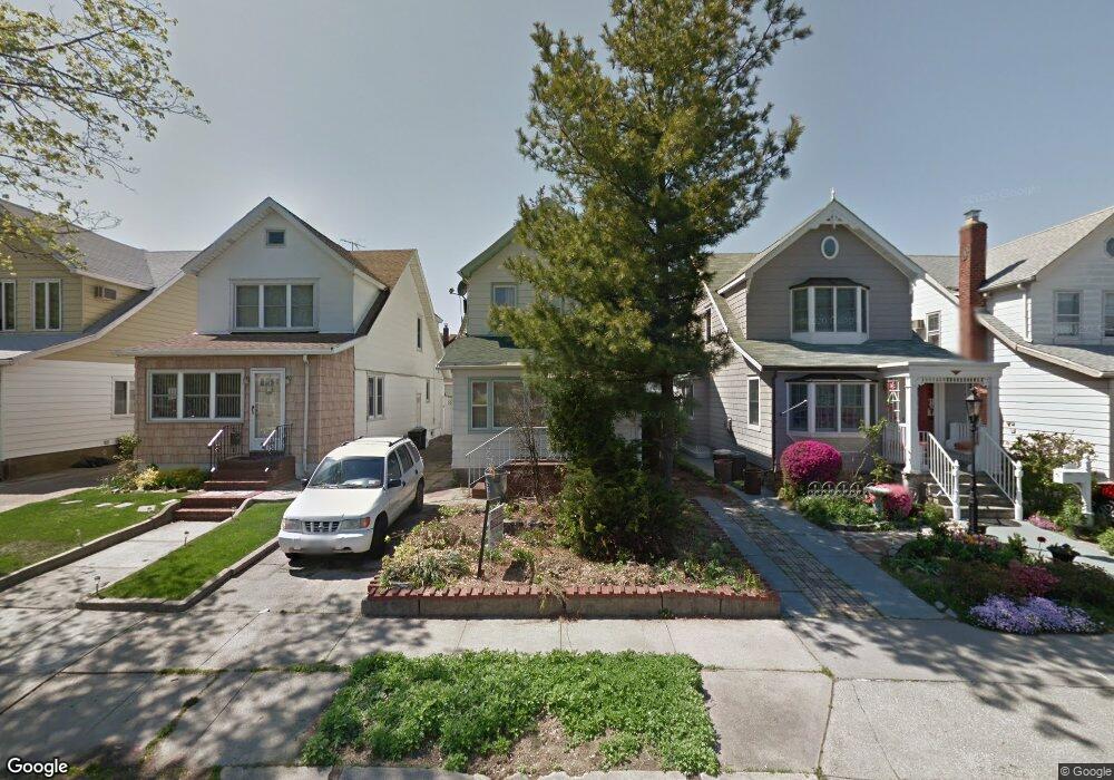
9139 71st Rd Forest Hills, NY 11375
Forest Hills NeighborhoodEstimated Value: $1,043,000 - $1,106,000
--
Bed
--
Bath
1,400
Sq Ft
$765/Sq Ft
Est. Value
About This Home
This home is located at 9139 71st Rd, Forest Hills, NY 11375 and is currently estimated at $1,070,388, approximately $764 per square foot. 9139 71st Rd is a home located in Queens County with nearby schools including Ps 144 Col Jeromus Remsen, J.H.S. 190 Russell Sage, and Queens Metropolitan High School.
Ownership History
Date
Name
Owned For
Owner Type
Purchase Details
Closed on
Oct 8, 2024
Sold by
Paradise Carl Joseph
Bought by
Canma-Sons Trust Dated March 19 2024 and Lee Trustee Aik Hooi
Current Estimated Value
Purchase Details
Closed on
Oct 26, 2018
Sold by
Cline Christina Esq
Bought by
Paradise Carl Joseph
Purchase Details
Closed on
Jun 20, 2014
Sold by
Serdtse Yana
Bought by
9139 71 Road Corp
Purchase Details
Closed on
Dec 19, 2006
Sold by
Rodriguez Debra F and Rodriguez Robert V
Bought by
Demarco Enrico and Serdtse Yana
Home Financials for this Owner
Home Financials are based on the most recent Mortgage that was taken out on this home.
Original Mortgage
$550,000
Interest Rate
6.24%
Mortgage Type
Purchase Money Mortgage
Create a Home Valuation Report for This Property
The Home Valuation Report is an in-depth analysis detailing your home's value as well as a comparison with similar homes in the area
Home Values in the Area
Average Home Value in this Area
Purchase History
| Date | Buyer | Sale Price | Title Company |
|---|---|---|---|
| Canma-Sons Trust Dated March 19 2024 | -- | -- | |
| Paradise Carl Joseph | $713,793 | -- | |
| Paradise Carl Joseph | $69,000 | -- | |
| Paradise Carl Joseph | $713,793 | -- | |
| Paradise Carl Joseph | $69,000 | -- | |
| 9139 71 Road Corp | $500 | -- | |
| 9139 71 Road Corp | $500 | -- | |
| Demarco Enrico | $657,200 | -- | |
| Demarco Enrico | $657,200 | -- |
Source: Public Records
Mortgage History
| Date | Status | Borrower | Loan Amount |
|---|---|---|---|
| Previous Owner | Demarco Enrico | $550,000 |
Source: Public Records
Tax History Compared to Growth
Tax History
| Year | Tax Paid | Tax Assessment Tax Assessment Total Assessment is a certain percentage of the fair market value that is determined by local assessors to be the total taxable value of land and additions on the property. | Land | Improvement |
|---|---|---|---|---|
| 2025 | $7,516 | $39,667 | $9,091 | $30,576 |
| 2024 | $7,516 | $37,422 | $9,962 | $27,460 |
| 2023 | $7,476 | $37,224 | $9,286 | $27,938 |
| 2022 | $7,037 | $56,100 | $14,040 | $42,060 |
| 2021 | $7,374 | $49,800 | $14,040 | $35,760 |
| 2020 | $6,997 | $50,340 | $14,040 | $36,300 |
| 2019 | $6,524 | $55,440 | $14,040 | $41,400 |
| 2018 | $6,323 | $31,020 | $8,165 | $22,855 |
| 2017 | $6,309 | $30,949 | $10,072 | $20,877 |
| 2016 | $5,837 | $30,949 | $10,072 | $20,877 |
| 2015 | $3,521 | $27,547 | $9,906 | $17,641 |
| 2014 | $3,521 | $25,988 | $10,427 | $15,561 |
Source: Public Records
Map
Nearby Homes
- 91-48 71st Ave
- 93-25 71st Dr
- 91-35 71st Ave
- 9010 70th Dr
- 95-01 72nd Ave
- 90-15 70th Dr
- 110 Walnut St
- 100-33 Metropolitan Ave
- 88-03 70th Dr
- 8810 70th Rd
- 70-15 Nansen St
- 70-19 Manse St
- 7110 Kessel St
- 90-60 Union Turnpike Unit 9E
- 72-23 Kessel St
- 90-50 Union Turnpike Unit 17K
- 90-50 Union Turnpike Unit 11L
- 69-55 Kessel St
- 70-47 Juno St
- 6915 Loubet St