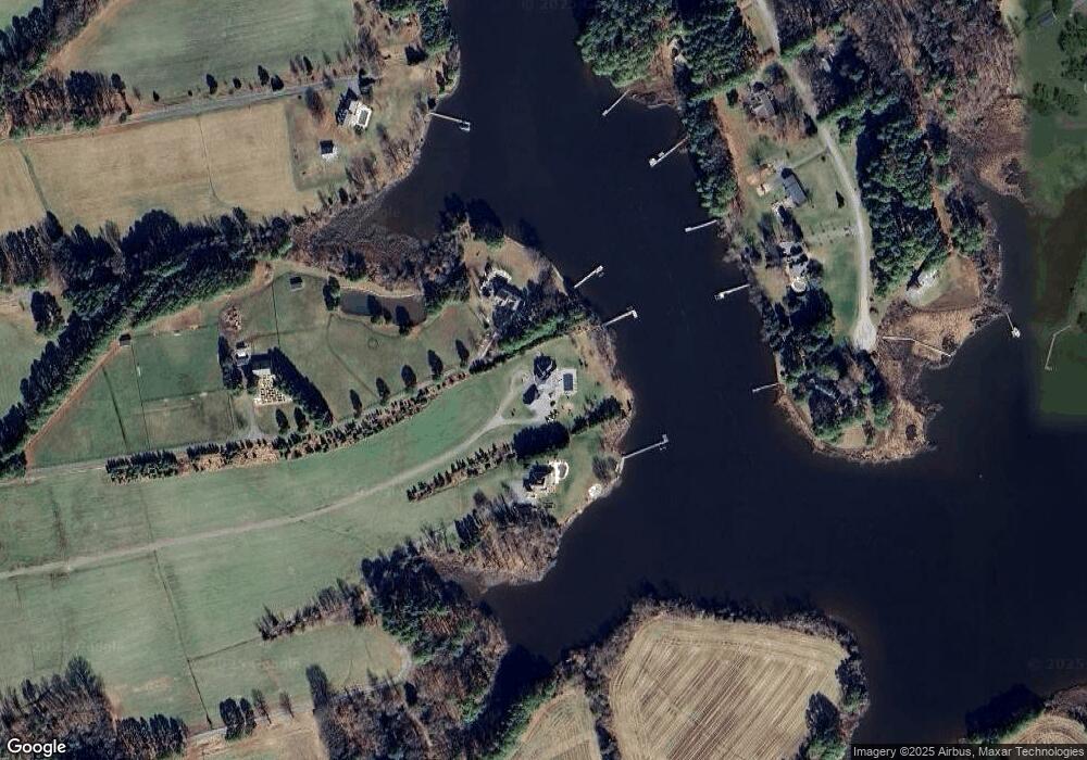
9139 New Rd McDaniel, MD 21647
Estimated Value: $1,735,000 - $2,235,640
Studio
5
Baths
4,822
Sq Ft
$404/Sq Ft
Est. Value
About This Home
This home is located at 9139 New Rd, McDaniel, MD 21647 and is currently estimated at $1,947,880, approximately $403 per square foot. 9139 New Rd is a home located in Talbot County with nearby schools including Tilghman Elementary School, St. Michaels Middle/High School, and Easton High School.
Ownership History
Date
Name
Owned For
Owner Type
Purchase Details
Closed on
Jul 23, 2025
Sold by
Huffner William E and Huffner Rosemary A
Bought by
William E Huffner Revocable Trust and Rosemary A Huffner Revocable Trust
Current Estimated Value
Purchase Details
Closed on
Jul 31, 2014
Sold by
Sellner George C and Sellner Barbara C
Bought by
Hoffner William E and Hoffner Rosemary A
Home Financials for this Owner
Home Financials are based on the most recent Mortgage that was taken out on this home.
Original Mortgage
$435,200
Interest Rate
4.09%
Mortgage Type
Credit Line Revolving
Create a Home Valuation Report for This Property
The Home Valuation Report is an in-depth analysis detailing your home's value as well as a comparison with similar homes in the area
Purchase History
| Date | Buyer | Sale Price | Title Company |
|---|---|---|---|
| William E Huffner Revocable Trust | -- | None Listed On Document | |
| Hoffner William E | $512,000 | None Available |
Source: Public Records
Mortgage History
| Date | Status | Borrower | Loan Amount |
|---|---|---|---|
| Previous Owner | Hoffner William E | $435,200 |
Source: Public Records
Tax History
| Year | Tax Paid | Tax Assessment Tax Assessment Total Assessment is a certain percentage of the fair market value that is determined by local assessors to be the total taxable value of land and additions on the property. | Land | Improvement |
|---|---|---|---|---|
| 2025 | $12,127 | $1,557,200 | $456,800 | $1,100,400 |
| 2024 | $11,876 | $1,473,333 | $0 | $0 |
| 2023 | $11,170 | $1,389,467 | $0 | $0 |
| 2022 | $10,287 | $1,305,600 | $456,800 | $848,800 |
| 2021 | $9,706 | $1,303,133 | $0 | $0 |
| 2020 | $9,706 | $1,300,667 | $0 | $0 |
| 2019 | $9,703 | $1,298,200 | $456,800 | $841,400 |
| 2018 | $9,382 | $1,298,200 | $456,800 | $841,400 |
| 2017 | $3,296 | $474,000 | $0 | $0 |
| 2016 | $5,068 | $724,100 | $0 | $0 |
| 2015 | $4,293 | $779,300 | $0 | $0 |
| 2014 | $4,293 | $779,300 | $0 | $0 |
Source: Public Records
Map
Nearby Homes
- 22381 Cooper Ln
- 22349 Cooper Ln
- 8805 Cummings Rd
- 22314 Pot Pie Rd
- 9262 Macks Ln
- 22707 Marshall Ln
- 8781 Tilghman Island Rd
- 9681 Macks Ln
- 8620 Bozman Neavitt Rd
- 8034 Bozman Neavitt Rd
- 23869 Mount Misery Rd
- 9791 Pintail Place
- 24362 Widgeon Place Unit 4
- 7508 Cooper Point Rd
- 23961 Lynnewood Dr
- 10770 Rich Neck Rd
- 9529 Quail Hollow Dr Unit 504
- 216 Brooks Ln
- 300 Perry St
- 209 Webb Ln
