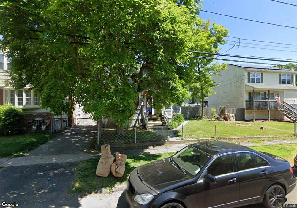
914 Birdseye St Stratford, CT 06615
Stratford Center Historic District NeighborhoodEstimated Value: $283,000 - $373,000
3
Beds
1
Bath
1,392
Sq Ft
$251/Sq Ft
Est. Value
About This Home
This home is located at 914 Birdseye St, Stratford, CT 06615 and is currently estimated at $349,209, approximately $250 per square foot. 914 Birdseye St is a home located in Fairfield County with nearby schools including Stratford Academy - Johnson House, David Wooster Middle School, and Stratford High School.
Ownership History
Date
Name
Owned For
Owner Type
Purchase Details
Closed on
Jul 6, 1998
Sold by
Fnma
Bought by
Gill Julanne
Current Estimated Value
Home Financials for this Owner
Home Financials are based on the most recent Mortgage that was taken out on this home.
Original Mortgage
$66,300
Interest Rate
7.04%
Mortgage Type
Purchase Money Mortgage
Purchase Details
Closed on
May 21, 1990
Sold by
Fomenko Alexandra
Bought by
Brown Dennis
Create a Home Valuation Report for This Property
The Home Valuation Report is an in-depth analysis detailing your home's value as well as a comparison with similar homes in the area
Home Values in the Area
Average Home Value in this Area
Purchase History
| Date | Buyer | Sale Price | Title Company |
|---|---|---|---|
| Gill Julanne | $78,000 | -- | |
| Brown Dennis | $125,000 | -- |
Source: Public Records
Mortgage History
| Date | Status | Borrower | Loan Amount |
|---|---|---|---|
| Open | Brown Dennis | $138,500 | |
| Closed | Brown Dennis | $114,000 | |
| Closed | Brown Dennis | $90,000 | |
| Closed | Brown Dennis | $66,300 |
Source: Public Records
Tax History Compared to Growth
Tax History
| Year | Tax Paid | Tax Assessment Tax Assessment Total Assessment is a certain percentage of the fair market value that is determined by local assessors to be the total taxable value of land and additions on the property. | Land | Improvement |
|---|---|---|---|---|
| 2025 | $4,581 | $113,960 | $54,110 | $59,850 |
| 2024 | $4,581 | $113,960 | $54,110 | $59,850 |
| 2023 | $4,581 | $113,960 | $54,110 | $59,850 |
| 2022 | $4,497 | $113,960 | $54,110 | $59,850 |
| 2021 | $4,498 | $113,960 | $54,110 | $59,850 |
| 2020 | $4,517 | $113,960 | $54,110 | $59,850 |
| 2019 | $4,306 | $108,010 | $46,270 | $61,740 |
| 2018 | $4,310 | $108,010 | $46,270 | $61,740 |
| 2017 | $4,317 | $108,010 | $46,270 | $61,740 |
| 2016 | $4,211 | $108,010 | $46,270 | $61,740 |
| 2015 | $3,994 | $108,010 | $46,270 | $61,740 |
| 2014 | $3,711 | $104,160 | $44,870 | $59,290 |
Source: Public Records
Map
Nearby Homes
- 171 Boswell St
- 196 Avon St
- 88 Boswell St
- 66 Roosevelt Ave
- 79 Boswell St
- 107 Dewey St
- 216 Mckinley Ave
- 148 Columbus Ave
- 325 Mckinley Ave
- 126 Garibaldi Ave
- 125 Garibaldi Ave
- 240 Placid Ave
- 15 Harding Ave
- 164 Hamilton Ave Unit 4
- 65 Masarik Ave
- 394 Harding Ave
- 88 Knowlton St
- 154 Soundview Ave
- 1170 South Ave
- 59 Lenox Ave
- 900 Birdseye St
- 924 Birdseye St
- 41 Anderson St
- 936 Birdseye St
- 47 Anderson St
- 915 Birdseye St
- 905 Birdseye St
- 29 Anderson St
- 200 Drome Ave
- 903 Birdseye St
- 927 Birdseye St
- 170 Drome Ave
- 885 Birdseye St
- 190 Drome Ave
- 864 Birdseye St
- 30 Anderson St
- 207 Drome Ave
- 221 Honeyspot Rd
- 311 Honeyspot Rd
- 187 Drome Ave