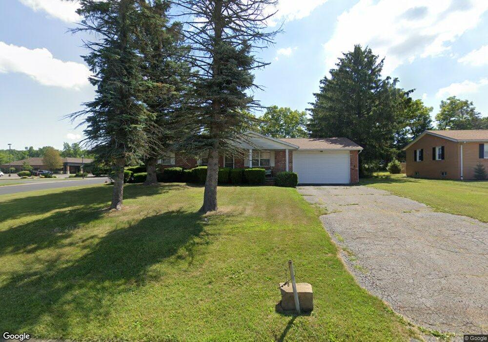
914 Commonwealth St Alliance, OH 44601
Estimated Value: $150,000 - $215,000
3
Beds
2
Baths
1,092
Sq Ft
$159/Sq Ft
Est. Value
About This Home
This home is located at 914 Commonwealth St, Alliance, OH 44601 and is currently estimated at $174,016, approximately $159 per square foot. 914 Commonwealth St is a home located in Stark County with nearby schools including Marlington High School and Regina Coeli/St Joseph School.
Ownership History
Date
Name
Owned For
Owner Type
Purchase Details
Closed on
Jan 14, 2003
Sold by
Estate Of Eva M Jones
Bought by
Jones Arnold H
Current Estimated Value
Purchase Details
Closed on
Jan 20, 1988
Create a Home Valuation Report for This Property
The Home Valuation Report is an in-depth analysis detailing your home's value as well as a comparison with similar homes in the area
Home Values in the Area
Average Home Value in this Area
Purchase History
| Date | Buyer | Sale Price | Title Company |
|---|---|---|---|
| Jones Arnold H | -- | -- | |
| -- | $46,000 | -- |
Source: Public Records
Tax History Compared to Growth
Tax History
| Year | Tax Paid | Tax Assessment Tax Assessment Total Assessment is a certain percentage of the fair market value that is determined by local assessors to be the total taxable value of land and additions on the property. | Land | Improvement |
|---|---|---|---|---|
| 2025 | -- | $39,800 | $8,300 | $31,500 |
| 2024 | -- | $39,800 | $8,300 | $31,500 |
| 2023 | $803 | $35,110 | $11,550 | $23,560 |
| 2022 | $819 | $35,110 | $11,550 | $23,560 |
| 2021 | $821 | $35,110 | $11,550 | $23,560 |
| 2020 | $757 | $30,460 | $10,050 | $20,410 |
| 2019 | $750 | $30,460 | $10,050 | $20,410 |
| 2018 | $751 | $30,460 | $10,050 | $20,410 |
| 2017 | $637 | $27,300 | $8,400 | $18,900 |
| 2016 | $496 | $23,170 | $8,400 | $14,770 |
| 2015 | $497 | $23,170 | $8,400 | $14,770 |
| 2014 | $513 | $22,400 | $8,120 | $14,280 |
| 2013 | $257 | $22,400 | $8,120 | $14,280 |
Source: Public Records
Map
Nearby Homes
- 0 S Sawburg Ave Unit 5113457
- 0 W Main St Unit 5090123
- 1430 Westwood Ave
- 1201 Overlook Dr
- 970 Kingsway St
- 2050 Federal Ave
- 1321 Parkway Blvd
- 896 Parkway Blvd
- 734 Parkway Blvd
- 2112 Blenheim Ave
- 738 Kingsway St
- 13061 Beeson St NE
- 725 W Summit St
- 2371 Ansley St Unit 2371
- 13334 Cindy St NE
- 2377 Ansley St Unit 2377
- 2220 Western Ave
- 680 Mcgrath St
- 884 W College Rd
- 1515 S Rockhill Ave
- 940 Commonwealth St
- 964 Commonwealth St
- 988 Commonwealth Ave
- 986 Commonwealth St
- 2011 Glamorgan St
- 975 Commonwealth St
- 1000 Commonwealth Ave
- 885 S Sawburg Ave Unit 106
- 885 S Sawburg Ave Unit 105
- 885 S Sawburg Ave Unit 110
- 885 S Sawburg Ave Unit 101
- 885 S Sawburg Ave Unit 103
- 885 S Sawburg Ave Unit 108
- 885 S Sawburg Ave Unit 104
- 885 S Sawburg Ave Unit 107
- 0 S Sawburg Ave Unit 5028496
- 0 S Sawburg Ave Unit 4491122
- 0 S Sawburg Ave
- 1055 Commonwealth Ave NE
- 1100 Commonwealth Ave