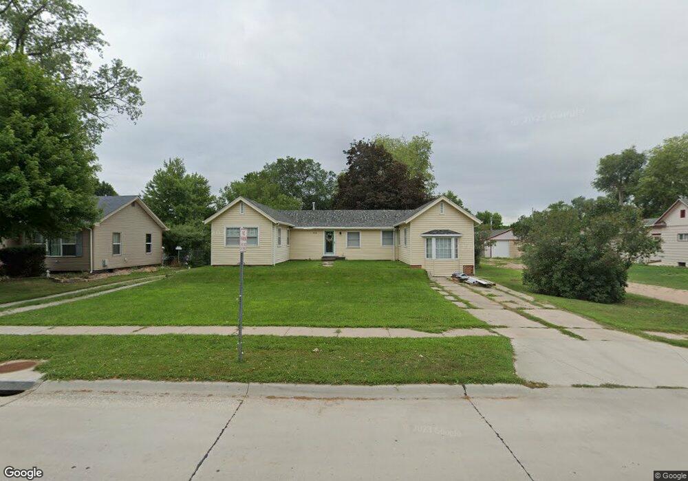
914 E 9th St Hastings, NE 68901
Estimated Value: $200,894 - $224,000
3
Beds
1
Bath
1,426
Sq Ft
$147/Sq Ft
Est. Value
About This Home
This home is located at 914 E 9th St, Hastings, NE 68901 and is currently estimated at $209,224, approximately $146 per square foot. 914 E 9th St is a home located in Adams County with nearby schools including Hastings Senior High School, St. Michael's Preschool & Elementary School, and St. Cecilia High School.
Ownership History
Date
Name
Owned For
Owner Type
Purchase Details
Closed on
Jul 7, 2017
Sold by
Ferguson Melissa A and Ferguson Nicholas C
Bought by
Birnie Daniel J
Current Estimated Value
Home Financials for this Owner
Home Financials are based on the most recent Mortgage that was taken out on this home.
Original Mortgage
$105,061
Outstanding Balance
$87,240
Interest Rate
3.87%
Mortgage Type
FHA
Estimated Equity
$121,984
Create a Home Valuation Report for This Property
The Home Valuation Report is an in-depth analysis detailing your home's value as well as a comparison with similar homes in the area
Home Values in the Area
Average Home Value in this Area
Purchase History
| Date | Buyer | Sale Price | Title Company |
|---|---|---|---|
| Birnie Daniel J | -- | None Available |
Source: Public Records
Mortgage History
| Date | Status | Borrower | Loan Amount |
|---|---|---|---|
| Open | Birnie Daniel J | $105,061 |
Source: Public Records
Tax History Compared to Growth
Tax History
| Year | Tax Paid | Tax Assessment Tax Assessment Total Assessment is a certain percentage of the fair market value that is determined by local assessors to be the total taxable value of land and additions on the property. | Land | Improvement |
|---|---|---|---|---|
| 2024 | $2,352 | $148,293 | $36,594 | $111,699 |
| 2023 | $3,014 | $146,059 | $36,594 | $109,465 |
| 2022 | $3,313 | $147,058 | $36,594 | $110,464 |
| 2021 | $2,756 | $125,700 | $27,944 | $97,756 |
| 2020 | $2,610 | $121,045 | $27,944 | $93,101 |
| 2019 | $2,543 | $119,219 | $27,944 | $91,275 |
| 2018 | $2,463 | $114,860 | $23,585 | $91,275 |
| 2017 | $2,386 | $111,350 | $0 | $0 |
| 2016 | $2,351 | $109,630 | $23,585 | $86,045 |
| 2011 | -- | $0 | $0 | $0 |
Source: Public Records
Map
Nearby Homes
- 910 Ronan Dr
- 1215 University St
- 1303 Pleasant St
- 1111 E 6th St
- 523 N 2nd Ave
- 831 N Cedar Ave
- 411 University Ave
- 1227 E 5th St
- 720 E 5th St
- 907 E 3rd St
- 234 Forest Blvd
- 216 Forest Blvd
- 406 E 6th St
- 28 Kingston Dr
- 747 E 2nd St
- 12 Avalon Ln
- 208 Ringland Rd
- 1327 N Cedar Ave
- 315 N California Ave
- 418 E 2nd St