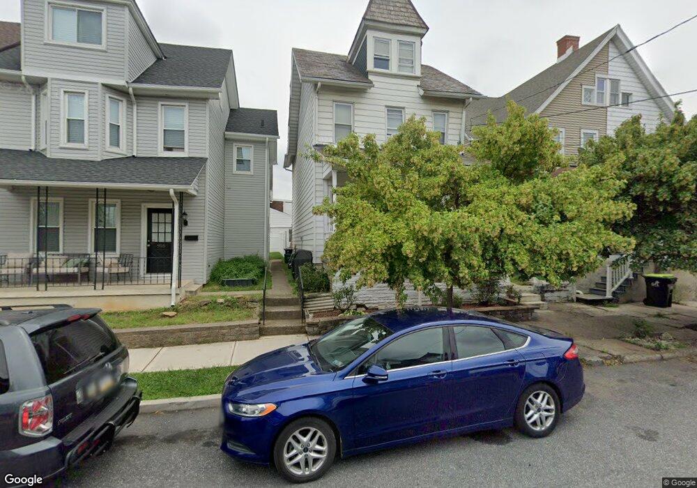
914 High St Unit 920 Bethlehem, PA 18018
Downtown Bethlehem NeighborhoodEstimated Value: $346,000 - $393,000
3
Beds
2
Baths
1,511
Sq Ft
$245/Sq Ft
Est. Value
About This Home
This home is located at 914 High St Unit 920, Bethlehem, PA 18018 and is currently estimated at $370,869, approximately $245 per square foot. 914 High St Unit 920 is a home located in Lehigh County with nearby schools including William Penn El School, Northeast Middle School, and Liberty High School.
Ownership History
Date
Name
Owned For
Owner Type
Purchase Details
Closed on
Feb 4, 1994
Sold by
North-Val Inc
Bought by
Finn Thomas J and Finn Donna M
Current Estimated Value
Purchase Details
Closed on
Jul 20, 1993
Sold by
Thomas Mark A and Thomas Nancy A
Bought by
North-Val Inc
Purchase Details
Closed on
Nov 7, 1983
Sold by
Daws Thomas W and Daws Bessie M
Bought by
Thomas Mark A and Thomas Nancy A
Create a Home Valuation Report for This Property
The Home Valuation Report is an in-depth analysis detailing your home's value as well as a comparison with similar homes in the area
Home Values in the Area
Average Home Value in this Area
Purchase History
| Date | Buyer | Sale Price | Title Company |
|---|---|---|---|
| Finn Thomas J | $120,000 | -- | |
| North-Val Inc | -- | -- | |
| Thomas Mark A | $71,300 | -- |
Source: Public Records
Tax History Compared to Growth
Tax History
| Year | Tax Paid | Tax Assessment Tax Assessment Total Assessment is a certain percentage of the fair market value that is determined by local assessors to be the total taxable value of land and additions on the property. | Land | Improvement |
|---|---|---|---|---|
| 2025 | $5,513 | $191,900 | $39,200 | $152,700 |
| 2024 | $5,450 | $191,900 | $39,200 | $152,700 |
| 2023 | $5,402 | $191,900 | $39,200 | $152,700 |
| 2022 | $5,490 | $191,900 | $152,700 | $39,200 |
| 2021 | $5,465 | $191,900 | $39,200 | $152,700 |
| 2020 | $5,291 | $191,900 | $39,200 | $152,700 |
| 2019 | $5,329 | $191,900 | $39,200 | $152,700 |
| 2018 | $5,225 | $191,900 | $39,200 | $152,700 |
| 2017 | $4,993 | $191,900 | $39,200 | $152,700 |
| 2016 | -- | $191,900 | $39,200 | $152,700 |
| 2015 | -- | $191,900 | $39,200 | $152,700 |
| 2014 | -- | $191,900 | $39,200 | $152,700 |
Source: Public Records
Map
Nearby Homes
- 914 High St
- 916 High St
- 912 High St
- 918 High St
- 910 High St
- 208 E Ettwein St
- 210 E Ettwein St
- 212 E Ettwein St
- 201 E Goepp St Unit 2
- 201 E Goepp St Unit Second Floor
- 201 E Goepp St Unit Secvond Floor
- 201 E Goepp St
- 205 E Goepp St
- 214 E Ettwein St
- 207 E Goepp St
- 207 E Goepp St Unit 1
- 928 High St
- 216 E Ettwein St
- 211 E Goepp St
- 930 High St