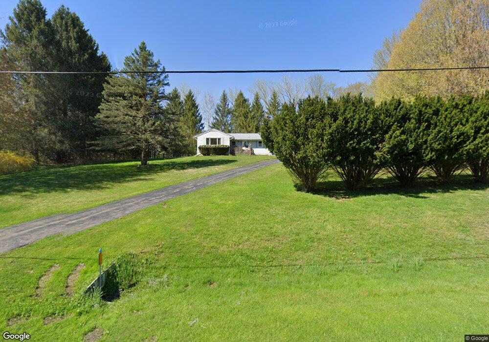
914 Milestrip Rd Irving, NY 14081
Estimated Value: $161,000 - $300,000
3
Beds
1
Bath
1,308
Sq Ft
$177/Sq Ft
Est. Value
About This Home
This home is located at 914 Milestrip Rd, Irving, NY 14081 and is currently estimated at $231,967, approximately $177 per square foot. 914 Milestrip Rd is a home located in Erie County with nearby schools including William G. Houston Middle School and Lake Shore Senior High School.
Ownership History
Date
Name
Owned For
Owner Type
Purchase Details
Closed on
Jun 29, 2022
Sold by
Dinardo Charles R and Dinardo Demaris
Bought by
Dinardo Charles T
Current Estimated Value
Home Financials for this Owner
Home Financials are based on the most recent Mortgage that was taken out on this home.
Original Mortgage
$124,896
Outstanding Balance
$119,503
Interest Rate
5.78%
Mortgage Type
New Conventional
Estimated Equity
$112,464
Purchase Details
Closed on
Jun 17, 1999
Create a Home Valuation Report for This Property
The Home Valuation Report is an in-depth analysis detailing your home's value as well as a comparison with similar homes in the area
Home Values in the Area
Average Home Value in this Area
Purchase History
| Date | Buyer | Sale Price | Title Company |
|---|---|---|---|
| Dinardo Charles T | $127,200 | None Available | |
| -- | -- | -- |
Source: Public Records
Mortgage History
| Date | Status | Borrower | Loan Amount |
|---|---|---|---|
| Open | Dinardo Charles T | $124,896 |
Source: Public Records
Tax History Compared to Growth
Tax History
| Year | Tax Paid | Tax Assessment Tax Assessment Total Assessment is a certain percentage of the fair market value that is determined by local assessors to be the total taxable value of land and additions on the property. | Land | Improvement |
|---|---|---|---|---|
| 2024 | $4,244 | $125,000 | $23,600 | $101,400 |
| 2023 | $4,034 | $125,000 | $23,600 | $101,400 |
| 2022 | $2,858 | $125,000 | $23,600 | $101,400 |
| 2021 | $2,883 | $125,000 | $23,600 | $101,400 |
| 2020 | $1,431 | $125,000 | $23,600 | $101,400 |
| 2019 | $2,966 | $125,000 | $23,600 | $101,400 |
| 2018 | $3,112 | $125,000 | $23,600 | $101,400 |
| 2017 | $1,427 | $125,000 | $23,600 | $101,400 |
| 2016 | $3,025 | $125,000 | $23,600 | $101,400 |
| 2015 | -- | $125,000 | $23,600 | $101,400 |
| 2014 | -- | $125,000 | $23,600 | $101,400 |
Source: Public Records
Map
Nearby Homes
- 802 Brant Farnham Rd
- 469 Commercial St
- 10403 Erie Rd
- 1307 Milestrip Rd
- 935 Cain Rd
- 9975 Hardpan Rd
- v/l Cain Rd
- 1349 Cain Rd
- 9655 Granger St
- 429 Dawn Ave
- 9815 Utica St
- 598 Adams Ave
- 9754 Southwestern Blvd
- 0 Granger St
- 9528 Chippewa St
- 9705 Northfield St
- 9815 Redwing St
- 642 Monroe Ave
- 0 Argyle Ave
- 715 Monroe Ave
- 886 Milestrip Rd
- 941 Milestrip Rd
- 995 Milestrip Rd
- 1018 Milestrip Rd
- 1020 Milestrip Rd
- 1027 Milestrip Rd
- 1026 Milestrip Rd
- 10971 Route 20
- 10936 Route 20
- 907 Brant Farnham Rd
- 1061 Milestrip Rd
- 10950 Route 20
- 10982 Route 20
- 10962 Southwestern Blvd
- 885 Brant Farnham Rd
- 925 Brant Farnham Rd
- 1062 Milestrip Rd
- 957 Brant Farnham Rd
- 880 Brant Farnham Rd
- 918 Brant Farnham Rd