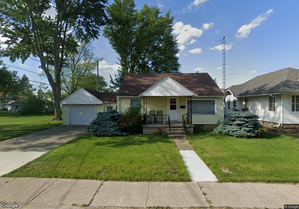
914 Pine St Fremont, OH 43420
Estimated Value: $156,000 - $181,000
3
Beds
2
Baths
1,632
Sq Ft
$105/Sq Ft
Est. Value
About This Home
This home is located at 914 Pine St, Fremont, OH 43420 and is currently estimated at $171,283, approximately $104 per square foot. 914 Pine St is a home located in Sandusky County with nearby schools including Fremont Ross High School, Sacred Heart School, and Bishop Hoffman Catholic School - This is St Joe's School now.
Ownership History
Date
Name
Owned For
Owner Type
Purchase Details
Closed on
Oct 9, 2001
Sold by
Dickey Michael T
Bought by
Carter Robert L
Current Estimated Value
Home Financials for this Owner
Home Financials are based on the most recent Mortgage that was taken out on this home.
Original Mortgage
$92,150
Outstanding Balance
$36,334
Interest Rate
6.99%
Mortgage Type
New Conventional
Estimated Equity
$134,949
Purchase Details
Closed on
Oct 1, 1992
Sold by
Carter Robert L
Bought by
Carter Robert L
Purchase Details
Closed on
Aug 1, 1992
Bought by
Carter Robert L
Create a Home Valuation Report for This Property
The Home Valuation Report is an in-depth analysis detailing your home's value as well as a comparison with similar homes in the area
Home Values in the Area
Average Home Value in this Area
Purchase History
| Date | Buyer | Sale Price | Title Company |
|---|---|---|---|
| Carter Robert L | $97,000 | -- | |
| Carter Robert L | -- | -- | |
| Carter Robert L | -- | -- |
Source: Public Records
Mortgage History
| Date | Status | Borrower | Loan Amount |
|---|---|---|---|
| Open | Carter Robert L | $92,150 |
Source: Public Records
Tax History Compared to Growth
Tax History
| Year | Tax Paid | Tax Assessment Tax Assessment Total Assessment is a certain percentage of the fair market value that is determined by local assessors to be the total taxable value of land and additions on the property. | Land | Improvement |
|---|---|---|---|---|
| 2024 | $1,711 | $45,400 | $7,000 | $38,400 |
| 2023 | $1,711 | $38,820 | $5,990 | $32,830 |
| 2022 | $1,538 | $38,820 | $5,990 | $32,830 |
| 2021 | $1,587 | $38,820 | $5,990 | $32,830 |
| 2020 | $1,469 | $35,390 | $5,990 | $29,400 |
| 2019 | $1,433 | $35,390 | $5,990 | $29,400 |
| 2018 | $1,436 | $35,390 | $5,990 | $29,400 |
| 2017 | $1,295 | $31,820 | $5,990 | $25,830 |
| 2016 | $1,136 | $31,820 | $5,990 | $25,830 |
| 2015 | $1,116 | $31,820 | $5,990 | $25,830 |
| 2014 | $1,269 | $34,480 | $7,210 | $27,270 |
| 2013 | $1,241 | $34,480 | $7,210 | $27,270 |
Source: Public Records
Map
Nearby Homes
- 230 N Pennsylvania Ave
- 714 E State St
- 322 4th St
- 924 Birdseye Blvd
- 314 S Collinwood Blvd
- 906 Amsden Blvd
- 433 Sandusky Ave
- 340 340 Sandusky Ave
- 533 Sandusky Ave Unit 535
- 612 2nd St
- 224 Sandusky Ave Unit 226
- 208 E State St
- 0 S Buchanan St
- 600 S Buchanan St
- 1526 Sunrise Blvd
- 800 Lawndale Dr
- 318 Ethan Dr
- 315 Ethan Dr
- 516 N Front St
- 515 S Arch St
- 918 Pine St
- 311 N Buchanan St
- 922 Pine St
- 902 Pine St
- 307 N Buchanan St
- 318 Herbster St
- 923 Pine St
- 905 Pine St
- 307 S Buchanan St
- 226 Herbster St
- 231 N Buchanan St
- 227 N Buchanan St
- 320 Herbster St
- 321 N Buchanan St
- 218 Herbster St
- 309 Herbster St
- 1002 Pine St Unit 10
- 223 N Buchanan St
- 323 N Buchanan St
- 732 Pine St