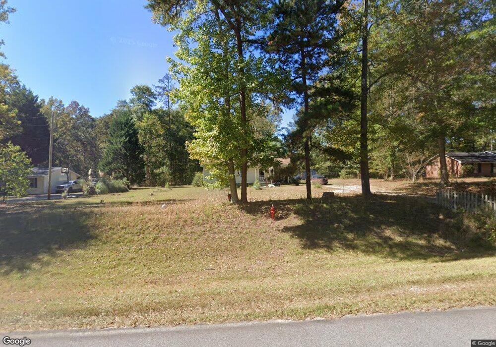
914 Polk Rd Moreland, GA 30259
Estimated Value: $161,059 - $206,000
3
Beds
1
Bath
1,056
Sq Ft
$183/Sq Ft
Est. Value
About This Home
This home is located at 914 Polk Rd, Moreland, GA 30259 and is currently estimated at $193,015, approximately $182 per square foot. 914 Polk Rd is a home located in Coweta County with nearby schools including Moreland Elementary School, Smokey Road Middle School, and Newnan High School.
Ownership History
Date
Name
Owned For
Owner Type
Purchase Details
Closed on
Jun 16, 2016
Sold by
Smith John David
Bought by
Smith David Nicholas
Current Estimated Value
Purchase Details
Closed on
Mar 31, 2004
Sold by
Dover Timothy S and Dover Teresa D
Bought by
Smith John D
Home Financials for this Owner
Home Financials are based on the most recent Mortgage that was taken out on this home.
Original Mortgage
$72,400
Interest Rate
5.7%
Mortgage Type
New Conventional
Purchase Details
Closed on
Apr 30, 1988
Bought by
Dover Timothy Scott
Create a Home Valuation Report for This Property
The Home Valuation Report is an in-depth analysis detailing your home's value as well as a comparison with similar homes in the area
Home Values in the Area
Average Home Value in this Area
Purchase History
| Date | Buyer | Sale Price | Title Company |
|---|---|---|---|
| Smith David Nicholas | -- | -- | |
| Smith John D | $90,500 | -- | |
| Dover Timothy Scott | $41,500 | -- |
Source: Public Records
Mortgage History
| Date | Status | Borrower | Loan Amount |
|---|---|---|---|
| Previous Owner | Smith John D | $72,400 |
Source: Public Records
Tax History Compared to Growth
Tax History
| Year | Tax Paid | Tax Assessment Tax Assessment Total Assessment is a certain percentage of the fair market value that is determined by local assessors to be the total taxable value of land and additions on the property. | Land | Improvement |
|---|---|---|---|---|
| 2025 | $1,088 | $46,063 | $7,976 | $38,087 |
| 2024 | $1,067 | $45,947 | $7,976 | $37,971 |
| 2023 | $1,067 | $49,449 | $12,804 | $36,645 |
| 2022 | $910 | $36,943 | $7,317 | $29,626 |
| 2021 | $846 | $32,132 | $6,968 | $25,164 |
| 2020 | $726 | $32,132 | $6,968 | $25,164 |
| 2019 | $735 | $29,929 | $8,782 | $21,147 |
| 2018 | $737 | $29,929 | $8,782 | $21,147 |
| 2017 | $737 | $29,929 | $8,782 | $21,147 |
| 2016 | $730 | $29,929 | $8,782 | $21,147 |
| 2015 | $721 | $29,929 | $8,782 | $21,147 |
| 2014 | $718 | $29,929 | $8,782 | $21,147 |
Source: Public Records
Map
Nearby Homes
- 1302 Allen Rd
- 485 Polk Rd
- 114 Dingler Rd
- 110 Moreland Oaks Dr
- 4282 S Highway 29
- 3486 S Highway 29
- 17 Saint Charles Place
- 2086 Bethlehem Church Rd
- 2117 W Grantville Rd
- 121 Meadowbrook Ln
- 79 Lamb Rd
- 110 Meadowbrook Ln
- 8 Cameron St
- 202 Victoria Dr
- 15 Couch St
- 2403 W Grantville Rd
- 0 Trisha Ln Unit 10541742
- 145 E Camp St
- 188 Ball St
- 0 Lamb Rd Unit 10571369