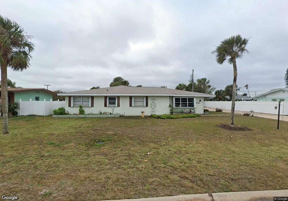
914 Rollins Ave Ormond Beach, FL 32176
Estimated Value: $357,000 - $504,000
4
Beds
2
Baths
2,057
Sq Ft
$209/Sq Ft
Est. Value
About This Home
This home is located at 914 Rollins Ave, Ormond Beach, FL 32176 and is currently estimated at $430,338, approximately $209 per square foot. 914 Rollins Ave is a home located in Volusia County with nearby schools including Ormond Beach Middle School, Seabreeze High School, and Lourdes Academy.
Ownership History
Date
Name
Owned For
Owner Type
Purchase Details
Closed on
Jun 25, 1998
Sold by
Ossinsky Myrna Lou
Bought by
Valentine John G and Robel Cheryl
Current Estimated Value
Home Financials for this Owner
Home Financials are based on the most recent Mortgage that was taken out on this home.
Original Mortgage
$55,900
Outstanding Balance
$10,244
Interest Rate
7.04%
Estimated Equity
$420,094
Purchase Details
Closed on
Nov 15, 1987
Bought by
Valentine John G
Create a Home Valuation Report for This Property
The Home Valuation Report is an in-depth analysis detailing your home's value as well as a comparison with similar homes in the area
Home Values in the Area
Average Home Value in this Area
Purchase History
| Date | Buyer | Sale Price | Title Company |
|---|---|---|---|
| Valentine John G | $69,900 | -- | |
| Valentine John G | $100 | -- |
Source: Public Records
Mortgage History
| Date | Status | Borrower | Loan Amount |
|---|---|---|---|
| Open | Valentine John G | $55,900 |
Source: Public Records
Tax History
| Year | Tax Paid | Tax Assessment Tax Assessment Total Assessment is a certain percentage of the fair market value that is determined by local assessors to be the total taxable value of land and additions on the property. | Land | Improvement |
|---|---|---|---|---|
| 2026 | $5,753 | $376,866 | $169,908 | $206,958 |
| 2025 | $5,753 | $373,793 | $169,908 | $203,885 |
| 2024 | $4,942 | $369,270 | $169,908 | $199,362 |
| 2023 | $4,942 | $344,789 | $118,237 | $226,552 |
| 2022 | $4,326 | $279,638 | $81,463 | $198,175 |
| 2021 | $4,113 | $235,472 | $66,101 | $169,371 |
| 2020 | $3,727 | $211,712 | $62,843 | $148,869 |
| 2019 | $3,727 | $209,967 | $63,450 | $146,517 |
| 2018 | $3,792 | $208,817 | $61,100 | $147,717 |
| 2017 | $3,609 | $190,578 | $57,096 | $133,482 |
| 2016 | $3,406 | $173,356 | $0 | $0 |
| 2015 | $3,210 | $155,847 | $0 | $0 |
| 2014 | $3,020 | $147,223 | $0 | $0 |
Source: Public Records
Map
Nearby Homes
- 3041 N Oleander Ave
- 3013 N Halifax Ave Unit 3
- 3009 N Halifax Ave Unit 7
- 3009 N Halifax Ave Unit 1
- 3009 N Halifax Ave Unit 33
- 331 Fordham Dr
- 45 Loyola Dr
- 307 Emory Dr
- 46 Marvin Rd
- 792 Marvin Rd
- 2711 N Halifax Ave Unit 695
- 2711 N Halifax Ave Unit 483
- 2711 N Halifax Ave Unit 375
- 2711 N Halifax Ave Unit 196
- 2711 N Halifax Ave Unit 288
- 2711 N Halifax Ave Unit 478
- 2711 N Halifax Ave Unit 184
- 2711 N Halifax Ave Unit 890
- 2711 N Halifax Ave Unit 370
- 2711 N Halifax Ave Unit 366
- 924 Rollins Ave
- 904 Rollins Ave
- 923 Stanford Ave
- 903 Stanford Ave
- 915 Rollins Ave
- 88 Harvard Dr
- 923 Rollins Ave
- 3041 Rollins Ave
- 3030 Stanford Ave
- 3040 Rollins Ave
- 914 Stanford Ave
- 914 Princeton Ave
- 904 Princeton Ave
- 3031 Rollins Ave
- 924 Stanford Ave
- 46 Harvard Dr
- 83 Harvard Dr
- 67 Harvard Dr
- 924 Princeton Ave
- 3020 Stanford Ave
Your Personal Tour Guide
Ask me questions while you tour the home.