Estimated Value: $365,000 - $493,000
3
Beds
2
Baths
1,352
Sq Ft
$311/Sq Ft
Est. Value
About This Home
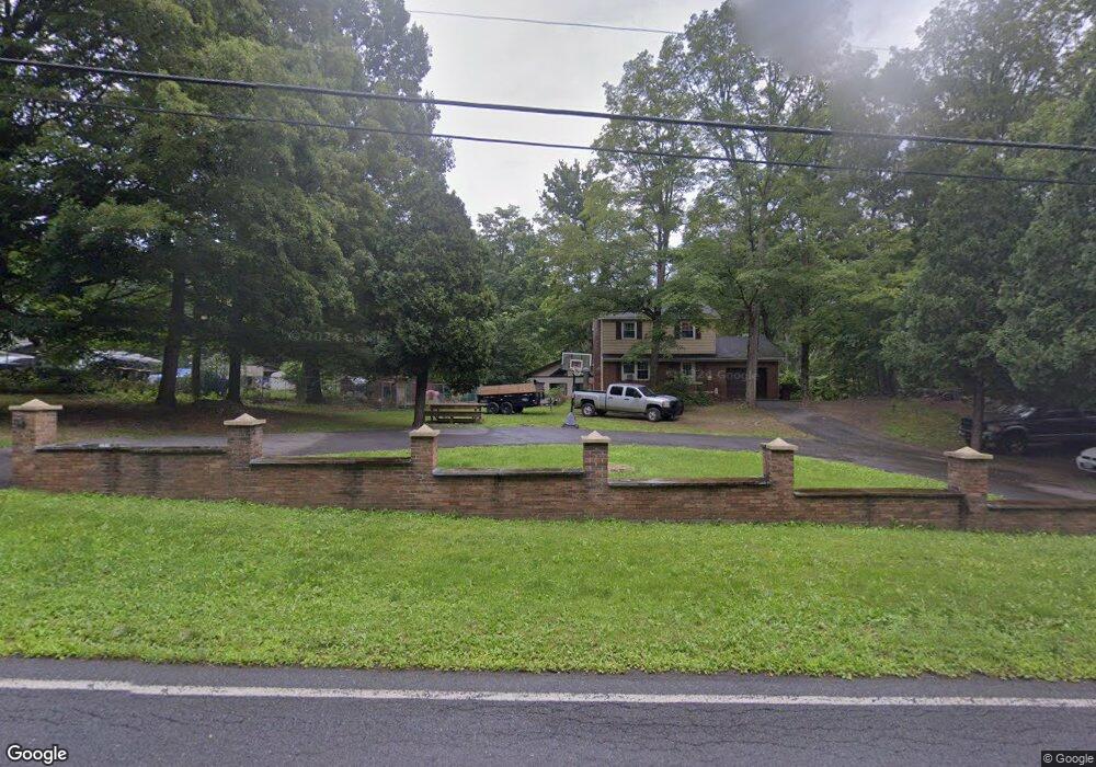
This home is located at 914 Route 67, Cairo, NY 12413 and is currently estimated at $419,798, approximately $310 per square foot. 914 Route 67 is a home with nearby schools including Cairo-Durham Elementary School, Cairo-Durham Middle School, and Cairo-Durham High School.
Ownership History
Date
Name
Owned For
Owner Type
Purchase Details
Closed on
Apr 24, 2013
Sold by
Amtrust Reo 1 Llc
Bought by
Schoenborn Gustave
Current Estimated Value
Purchase Details
Closed on
May 18, 2012
Sold by
Roman Eric
Bought by
Amtrust Reo I Llc
Purchase Details
Closed on
Jun 1, 2006
Sold by
Colon Jess
Bought by
Roman Eric
Purchase Details
Closed on
Oct 28, 1996
Sold by
Bullerin Eva
Bought by
Colon Jesse and Colon Iris
Create a Home Valuation Report for This Property
The Home Valuation Report is an in-depth analysis detailing your home's value as well as a comparison with similar homes in the area
Home Values in the Area
Average Home Value in this Area
Purchase History
| Date | Buyer | Sale Price | Title Company |
|---|---|---|---|
| Schoenborn Gustave | $75,600 | Greg Faucher | |
| Amtrust Reo I Llc | $210,000 | -- | |
| Roman Eric | $360,000 | Dennis Cooney | |
| Colon Jesse | $135,000 | -- |
Source: Public Records
Tax History
| Year | Tax Paid | Tax Assessment Tax Assessment Total Assessment is a certain percentage of the fair market value that is determined by local assessors to be the total taxable value of land and additions on the property. | Land | Improvement |
|---|---|---|---|---|
| 2025 | $6,721 | $155,600 | $17,200 | $138,400 |
| 2024 | $6,445 | $155,600 | $17,200 | $138,400 |
| 2023 | $6,454 | $155,600 | $17,200 | $138,400 |
| 2022 | $6,228 | $155,600 | $17,200 | $138,400 |
| 2021 | $6,285 | $155,600 | $17,200 | $138,400 |
| 2020 | $10,248 | $155,600 | $17,200 | $138,400 |
| 2019 | $10,159 | $155,600 | $17,200 | $138,400 |
| 2018 | $10,159 | $155,600 | $17,200 | $138,400 |
| 2017 | $10,090 | $155,600 | $17,200 | $138,400 |
| 2016 | $9,772 | $155,600 | $17,200 | $138,400 |
| 2015 | -- | $155,600 | $17,200 | $138,400 |
| 2014 | -- | $155,600 | $17,200 | $138,400 |
Source: Public Records
Map
Nearby Homes
- 120 Wilson Rd
- 1927 Route 67
- 626 Bross St
- Lot 21 Anthony Rd
- TBD Anthony Dr
- 84 Orchard Dr
- 153 Bross St
- 7548 Route 32
- 0 New York 23
- 0 County Route 41 Unit KEY930743
- 0 County Route 41 Unit 20255661
- 0 Lake Mills Rd Unit 153003
- 78 Bross St
- 24 Grove St
- 64 Grove St
- 460 Main St
- 564 Main St
- 18-24 Jerome Ave
- 29 Jerome Ave
- 579 Main St
- 914 County Road 67
- 934 County Road 67
- 0 Wilson Rd Unit 20094358
- 0 Wilson Rd Unit 145394
- 52 Wilson Rd
- 933 Route 67
- 970 Route 67
- 980 Route 67
- 854 Route 67
- 868 Route 67
- 880 Route 67
- 973 Route 67
- 973 Cr 67
- 973 County Rd
- 982 Route 67
- 848 County Rte 67
- 852 Route 67
- 1040 Route 67
- 1040 Route 67
- 1040 Sandy Plains Rd
Your Personal Tour Guide
Ask me questions while you tour the home.