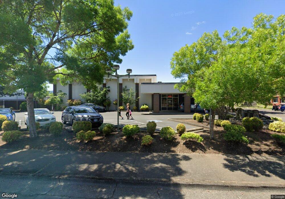
914 S 2nd St Lebanon, OR 97355
Estimated Value: $878,133
--
Bed
--
Bath
5,005
Sq Ft
$175/Sq Ft
Est. Value
About This Home
This home is located at 914 S 2nd St, Lebanon, OR 97355 and is currently estimated at $878,133, approximately $175 per square foot. 914 S 2nd St is a home located in Linn County with nearby schools including Green Acres School, Seven Oak Middle School, and Lebanon High School.
Ownership History
Date
Name
Owned For
Owner Type
Purchase Details
Closed on
Apr 12, 2018
Sold by
Dm Wells Properties Llc
Bought by
Sullivan Alton E and Sullivan Dixie G
Current Estimated Value
Purchase Details
Closed on
Oct 25, 2006
Sold by
Wells D M
Bought by
Dm Wells Properties Llc
Purchase Details
Closed on
Aug 2, 2005
Sold by
Weinberg William
Bought by
Wells D M
Home Financials for this Owner
Home Financials are based on the most recent Mortgage that was taken out on this home.
Original Mortgage
$319,668
Interest Rate
5.48%
Mortgage Type
Commercial
Create a Home Valuation Report for This Property
The Home Valuation Report is an in-depth analysis detailing your home's value as well as a comparison with similar homes in the area
Home Values in the Area
Average Home Value in this Area
Purchase History
| Date | Buyer | Sale Price | Title Company |
|---|---|---|---|
| Sullivan Alton E | $450,000 | First American Title | |
| Dm Wells Properties Llc | -- | None Available | |
| Dm Wells Properties Llc | -- | None Available | |
| Wells D M | $329,500 | Ticor Title | |
| Wells D M | $329,500 | Ticor Title |
Source: Public Records
Mortgage History
| Date | Status | Borrower | Loan Amount |
|---|---|---|---|
| Previous Owner | Wells D M | $319,668 |
Source: Public Records
Tax History Compared to Growth
Tax History
| Year | Tax Paid | Tax Assessment Tax Assessment Total Assessment is a certain percentage of the fair market value that is determined by local assessors to be the total taxable value of land and additions on the property. | Land | Improvement |
|---|---|---|---|---|
| 2024 | $7,067 | $369,110 | -- | -- |
| 2023 | $6,811 | $358,360 | $0 | $0 |
| 2022 | $6,766 | $347,930 | $0 | $0 |
| 2021 | $6,522 | $337,800 | $0 | $0 |
| 2020 | $6,379 | $327,970 | $0 | $0 |
| 2019 | $5,901 | $318,420 | $0 | $0 |
| 2018 | $5,680 | $309,150 | $0 | $0 |
| 2017 | $5,476 | $300,150 | $0 | $0 |
| 2016 | $5,129 | $288,600 | $0 | $0 |
| 2015 | $4,965 | $277,500 | $0 | $0 |
| 2014 | $5,048 | $277,500 | $0 | $0 |
Source: Public Records
Map
Nearby Homes
- 760 S 2nd St
- 54 W Sherman St
- 875 S 5th St
- 324 W Sherman St
- 64 W Vine St
- 511 W C St
- 591 W Sherman St
- 1400 Grove St
- 294 S 2nd St
- TL 600 E Oak St
- 1111 Hiatt St
- 411 Mayer Dr
- 938 Cleveland St
- 0 Hiatt (Lot Unit 7000) St
- 178 S Main St
- 785 W B St
- 720 W Rose St
- 850 W Oak St
- 653 E Elmore (Next To) St
- 372 Berry St
- 160 W Maple St
- 890 S 2nd St
- 174 W Maple St
- 947 S 2nd St
- 192 W Maple St
- 70 W Maple St (1 2)
- 70 1/2 W Maple St
- 56 W Maple St
- 189 W Maple St
- 189 W Maple St Unit 6700
- 63 W Oak St
- 816 S 2nd St
- 150 W Oak St
- 154 W Grant St
- 148 W Grant St
- 940 S Main St
- 186 W Grant St
- 1045 S 2nd St
- 878 S Main St
- 868 S Main St